Roncharel
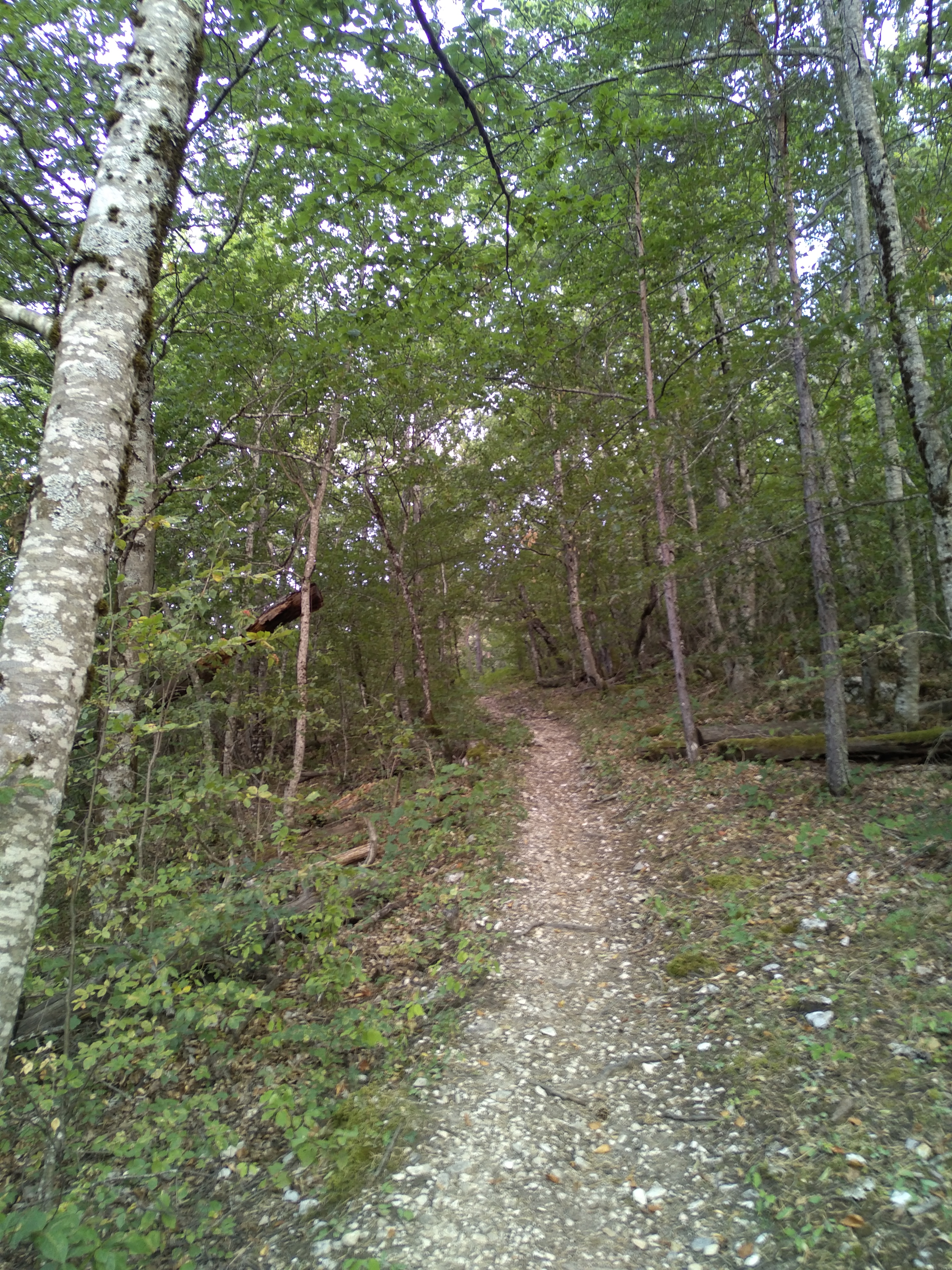


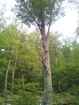
From the square, cross the bridge over the Vaïre and take the road to Colle Basse. After the cross-country pitch, in a hairpin bend in the road, take the path on your left, which rises to a track. Follow this to the left for a few metres, then leave it by the path on your right (past the Maison forestière). The path zigzags up through the forest before coming out onto the Chemin de ceinture (yellow signpost).
Turn right. Ignore the climb to Colle Basse on your left and continue straight ahead on the track, then leave it and take the GR on your left (yellow and red markers) to reach the Roncharel refuge.
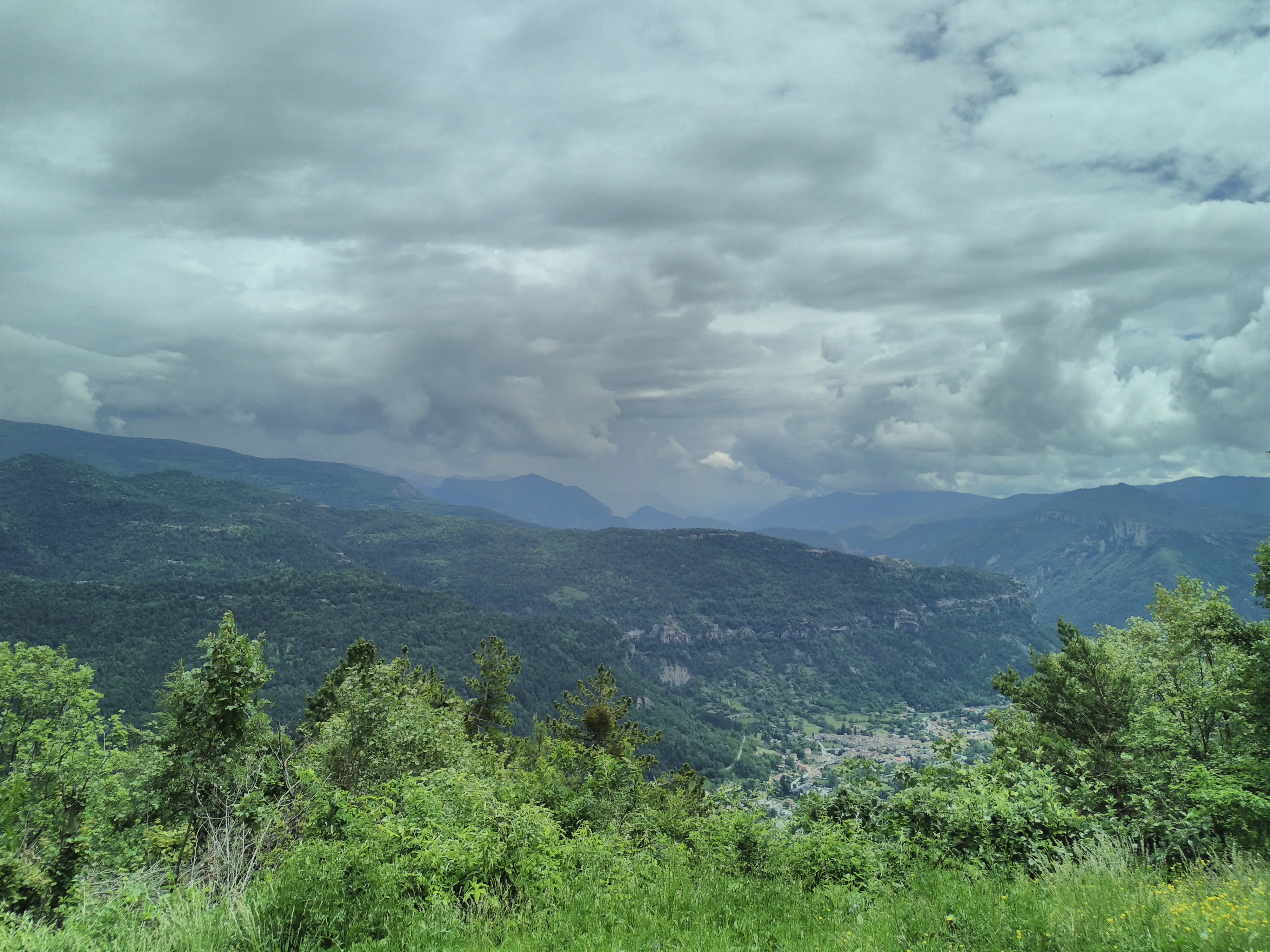
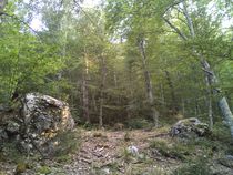
Return along the same path to the aforementioned signpost. Instead of descending towards Annot, follow the “chemin de ceinture”, a path that runs along the entire slope at a constant altitude, offering magnificent views over the valley.
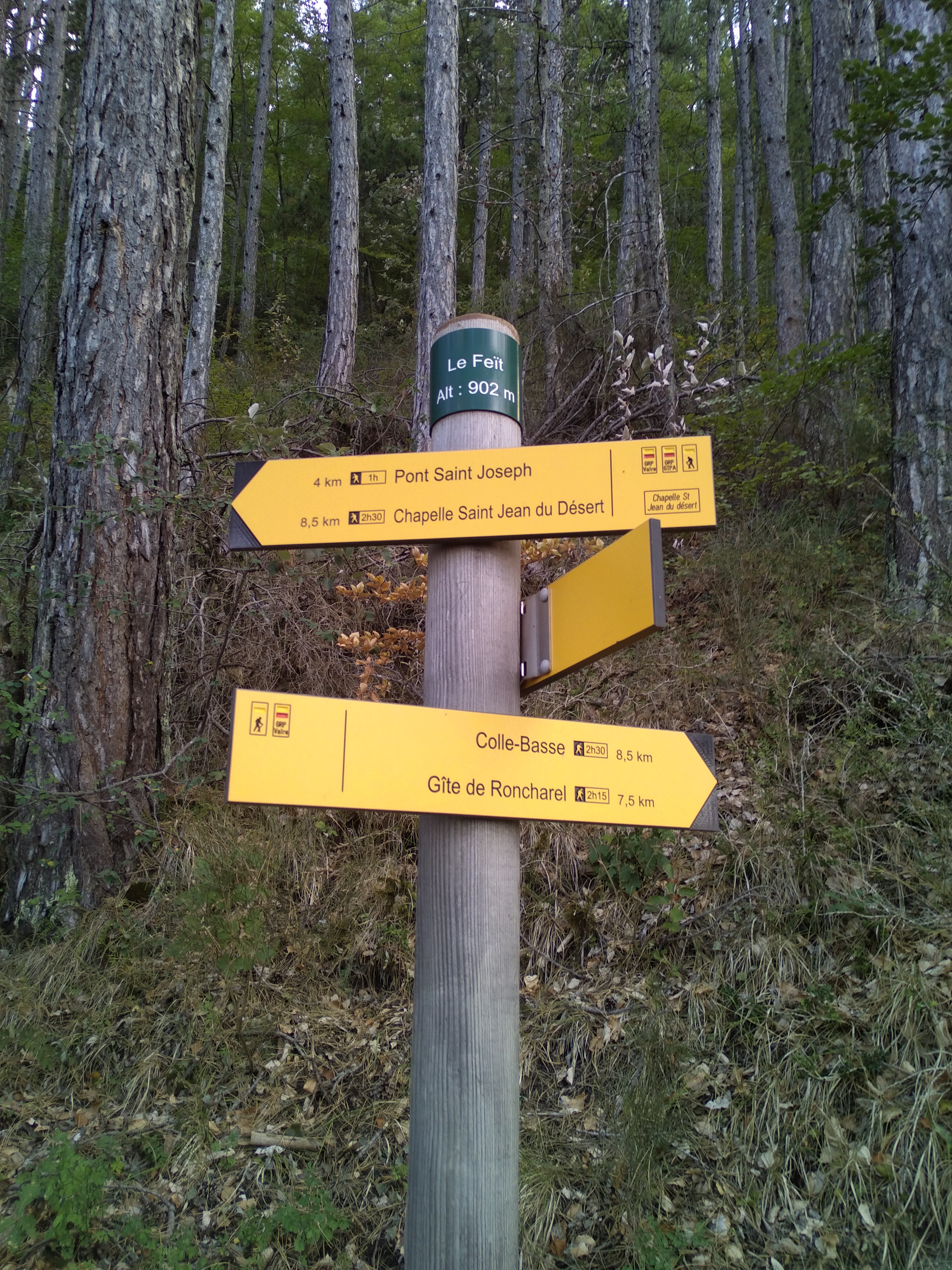
Ignore the Clot Roubaud path on the left and descend gently into the beech forest. At the intersection (signposted Le Feït), turn left and follow the GR de Pays GTPA to the village.
-
Opening
Open all year
From 01/01 to 31/12 daily.
Subject to favorable weather.- * OuvertureComplementaire
- * Subject to favorable weather
-
Spoken languages
- French
-
Services & Equipment
- PrestationService
- Pets welcome
Animaux : Accepted
-
Customer base
- Orange level - quite hard