The Bastidon Trail
15.29 km
Loop
7h
Hard
887m
D+ 887m / D- 886m
702m - 1374m
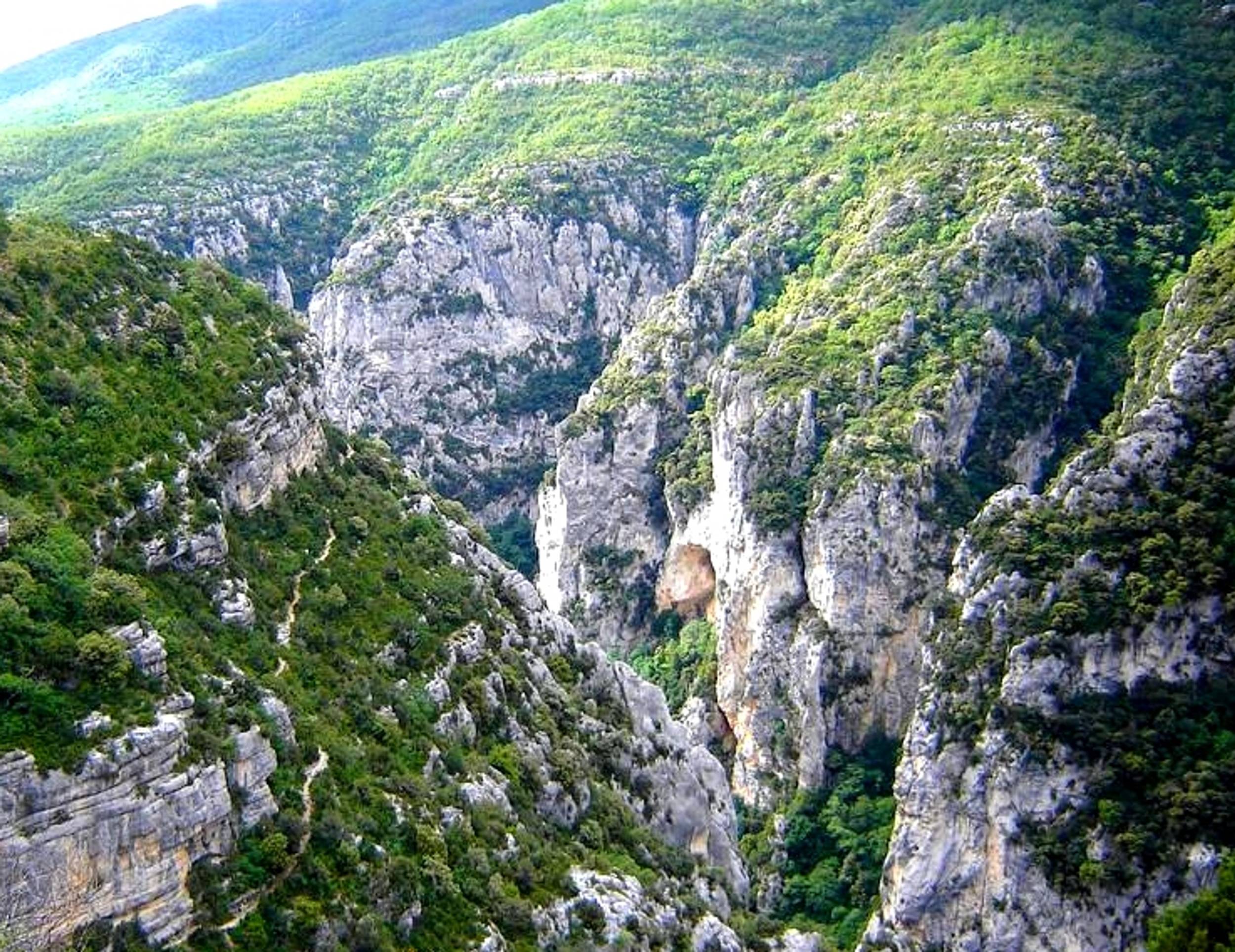
“One of the most beautiful hikes in the region despite 1,000m of vertical drop! For almost 2 hours by the Bastidon trail, I was able to discover, along the Verdon, the diversity of this sector. Accessible despite some wired passages. I loved the viewpoint at the Mayreste lookout on the Grand Canyon du Verdon, the pine and beech forests that cover the mountain of Barbin.”

-
Prices
Free access.
-
Customer base
- Level red – hard