The Chalvet peak


13.39 km
Loop
6h
Hard
832m
D+ 832m / D- 832m
903m - 1602m
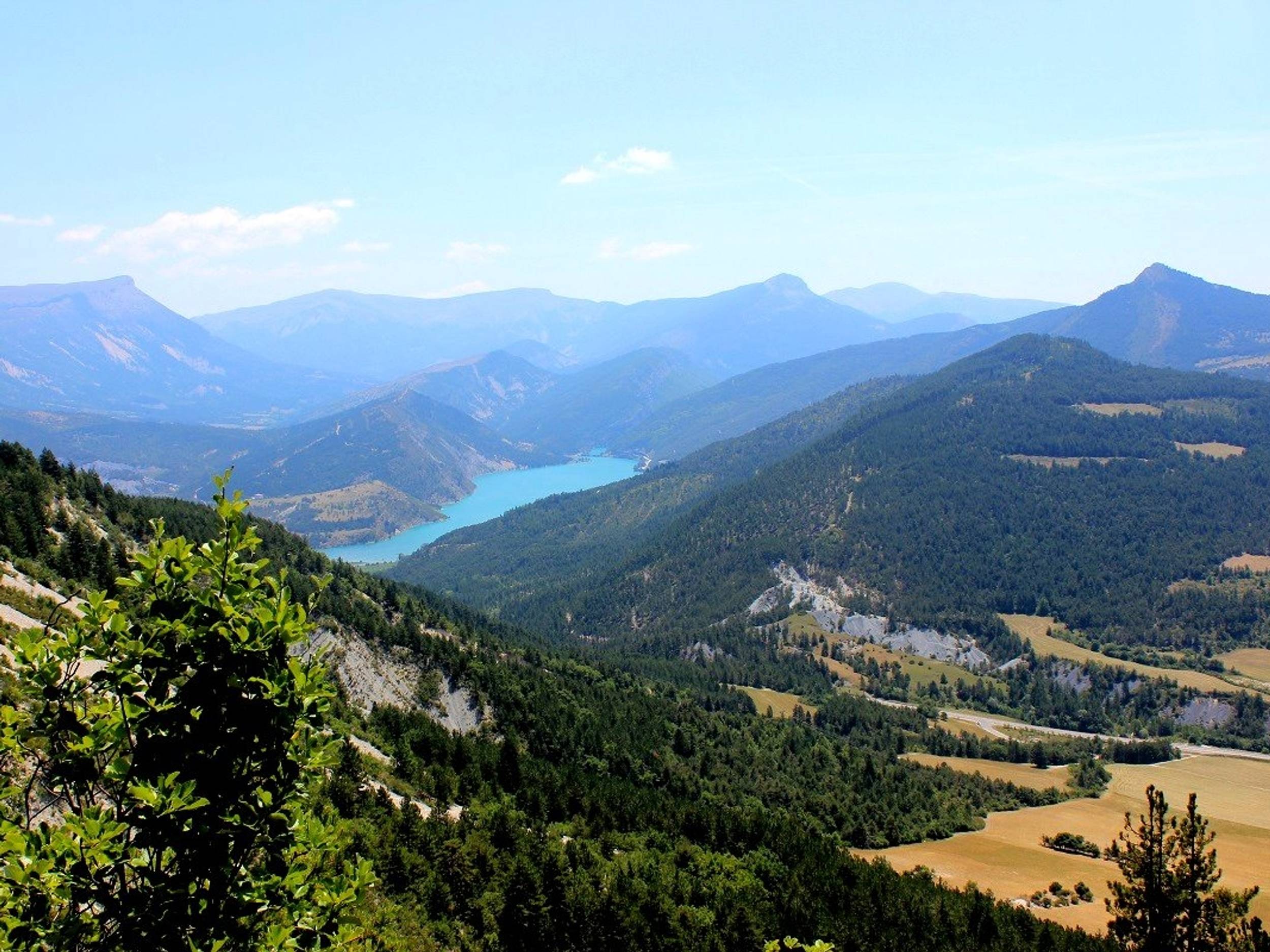
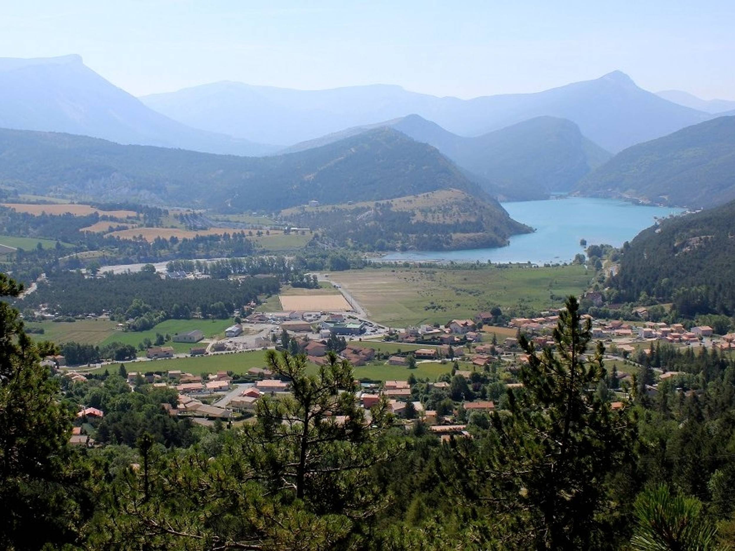
Mount Chalvet (1613m) is an internationally renowned site for the practice of hand gliding, you will most probably see some paragliders in the sky of Saint André les Alpes. On this hike, you may have the opportunity to hear the black grouse, discover the Chalvet hole, the Voie Impériale hiking trail, the Train des Pignes tour and numerous viewpoints of the village and Lake Castillon.

-
Prices
Free access.
-
Customer base
- Level red – hard