Annot – Le Fugeret par la voie romaine d’Argenton – CLOSED

  • La voie romaine
  • L'oratoire Sainte Madeleine
  • La voie romaine
  • Les ruines de la chapelle Saint Pierre
Verdon Tourisme > Annot – Le Fugeret par la voie romaine d’Argenton – CLOSED
Annot-en

By municipal by-law no. 2023-040, this section of the GTPA is closed until further notice.

9 km
One-way
4h
Hard

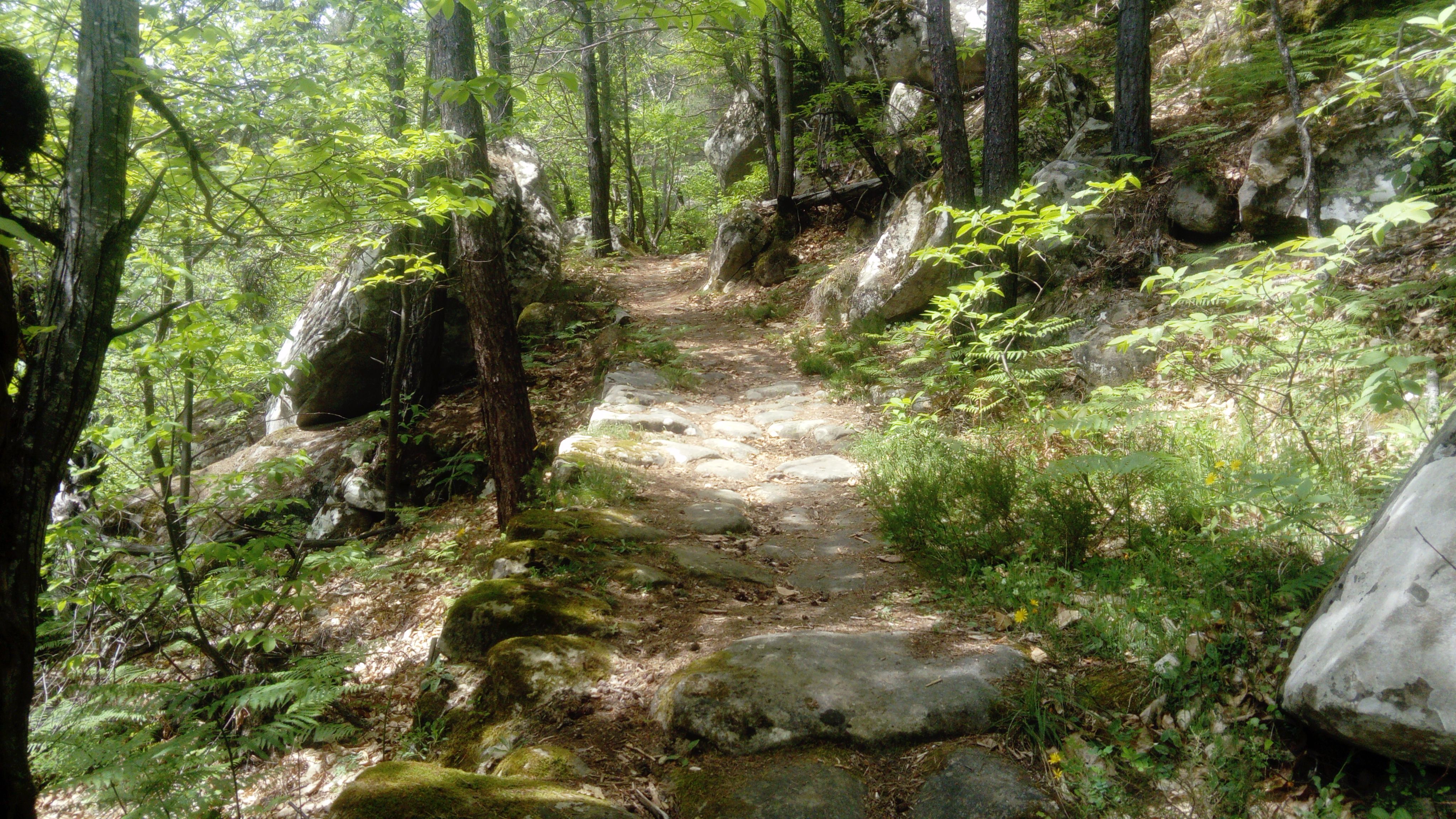
The first part of the trail runs under the cover of a chestnut forest and along the Roman Way.

  • Markup

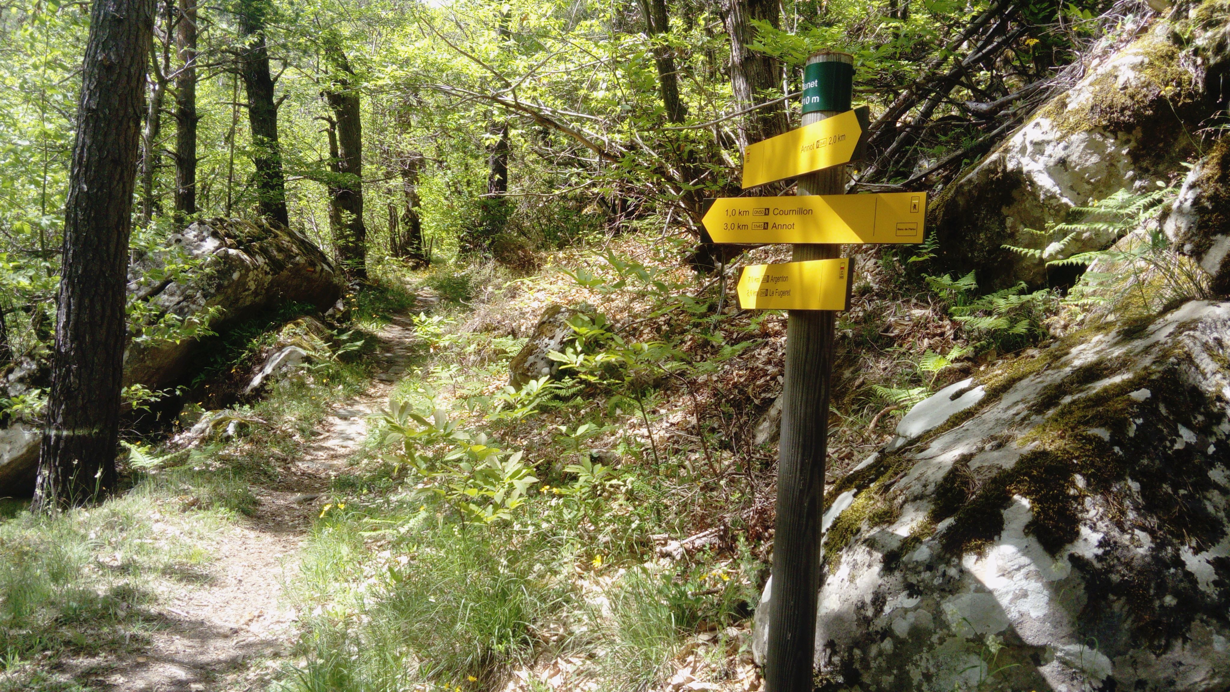
    Yellow / Red then Yellow

  • Difference in level

    670m ( Positive : 670m )

  • Altitude

    2061m ( Maximum : 1369m )

  • References

    Cartographic : TOP 25 3541 OT and Verdon Tourisme map "21 hikes around Annot".

  • Services & Equipment
    • Pets welcome

    Animaux : Accepted

  • Customer base
    • Level red – hard

04240 Annot-en

Altitude : 692 m