Bla Magnan

Verdon Tourisme > Bla Magnan
Colmars-en

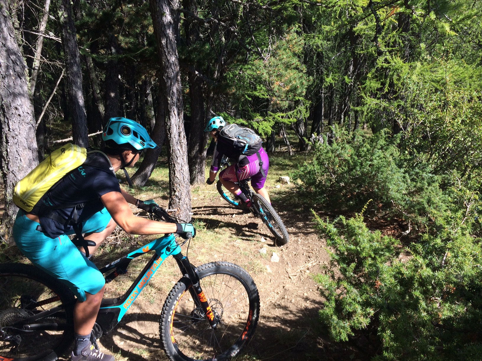
Gain height at Bla Magnan and discover Colmars from another angle. Cross over to the forest track overlooking the course of the Verdon and descend through the Scots pines. Return to the left bank of the Verdon.

8 km
Round trip
Cycle
2h 30min
Hard
  • Type of land
    • Ground
  • Markup

    Mountain bike route: yellow beacon, red number

  • Difference in level

    320m ( Positive : 320m )

  • Altitude

    1387m ( Maximum : 1559m )

  • References

    Guidebooks : Verdon Tourism map 24 mountain bike trails Haut Verdon Val d'Allos

  • Spoken languages
    • French
  • Documents
    • Bla Magnan
    • Bla Magnan
    • GPX / KML files allow you to export the route of your hike to your GPS (or other navigation tool)
  • Opening

    From 01/05 to 31/10.

    Subject to favorable snow and weather conditions.

    • * Subject to favorable weather
    • * Subject to snow conditions
  • Prices

    Free access.

  • Customer base
    • Level red – hard

04370 Colmars-en

Altitude : 1216 m