
-
- Search
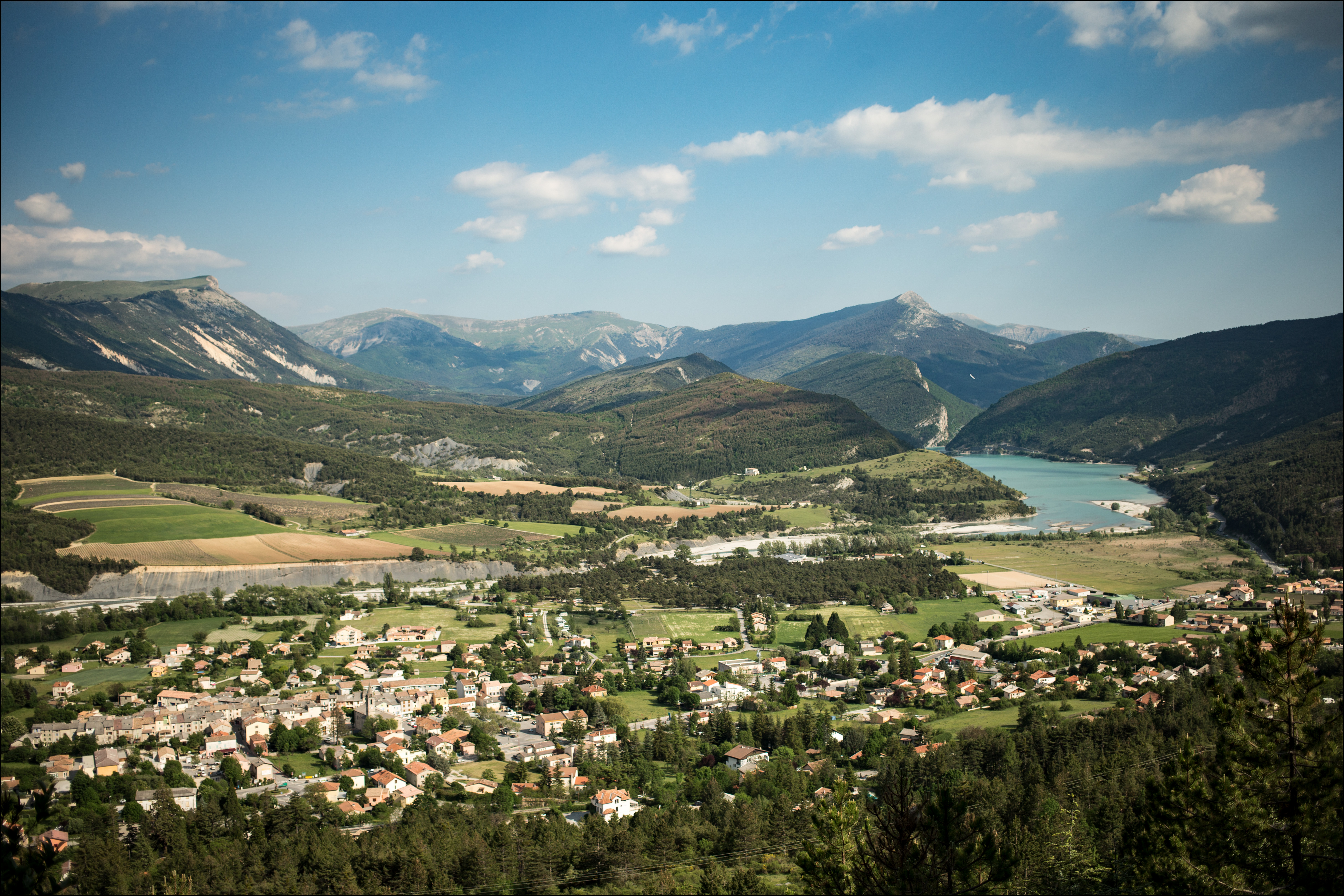
Sporty cycle tour around the Verdon and Vaïre rivers.
This markedly uneven cycle route takes you from the edge of Lac de Castillon to the Vaïre valley, between wooded hills, green meadows and rocky peaks.
Pass the Col de Toutes-Aures, wind your way through the Clues de Rouaine and end up in Annot, a village dominated by the listed natural site of the Annot sandstones.
The tour continues in the wheel of the Train des Pignes before reaching the highest point of the route, the Col de la Colle-Saint-Michel. From here, you can reach Saint-André-les-Alpes via the Verdon valley.
Standardized signs (green and white), sometimes with loop name, sometimes "silent".
1315m ( Positive : 1315m - Negative : 1315m )
Cartographic : Hiking map IGN n°3541 OT Annot St-André-les-Alpes PNR du Verdon Hiking map IGN n°3542 OT Castellane Lac de Castillon PNR du Verdon
Guidebooks : Le Verdon à Vélo" guide Cycloguide 04 - Les Alpes de Haute-Provence à Vélo
Free access.