Chasse

Verdon Tourisme > Chasse
Villars-Colmars-en

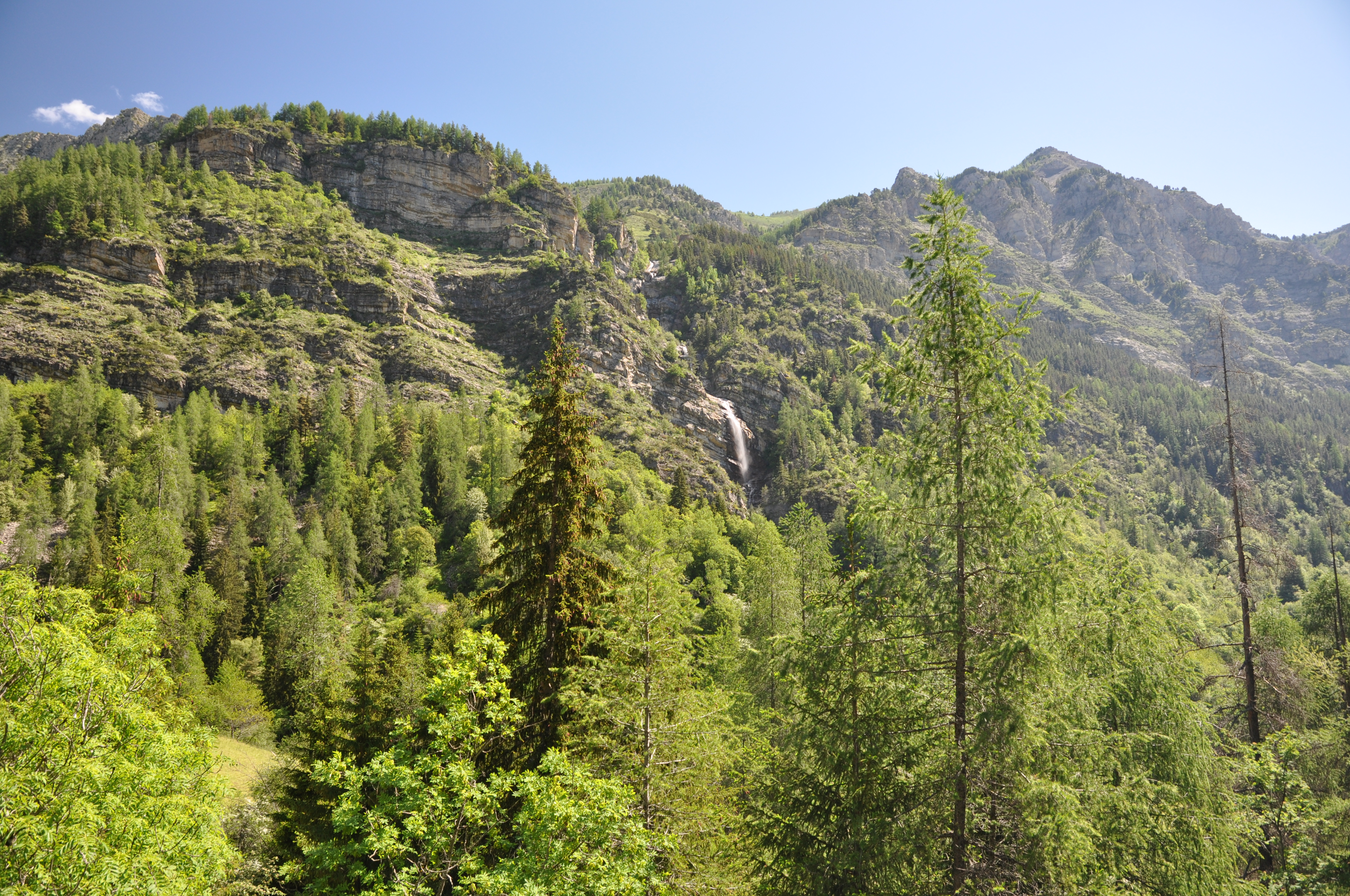
Starting from the Villars-Colmars kiosk, through the larch trees, this loop follows a forest track to the cabanes du Puy. The trail descends to the hamlet of Chasse and returns via the hamlet access road.

9 km
Round trip
Cycle
2h 45min
Hard
  • Type of land
    • Ground
  • Markup

    Mountain bike route: yellow beacon, red number

  • Difference in level

    370m ( Positive : 370m )

  • Altitude

    1423m ( Maximum : 1630m )

  • References

    Cartographic : Verdon Tourism map 24 mountain bike trails Haut-Verdon Val d'Allos

  • Spoken languages
    • French
  • Documents
    • Chasse
    • Chasse
    • GPX / KML files allow you to export the route of your hike to your GPS (or other navigation tool)
  • Opening

    From 01/05 to 31/10.

    Subject to favorable snow and weather conditions.

    • * Subject to favorable weather
    • * Subject to snow conditions
  • Prices

    Free access.

  • Customer base
    • Level red – hard

04370 Villars-Colmars-en

Altitude : 1216 m