
-
- Search
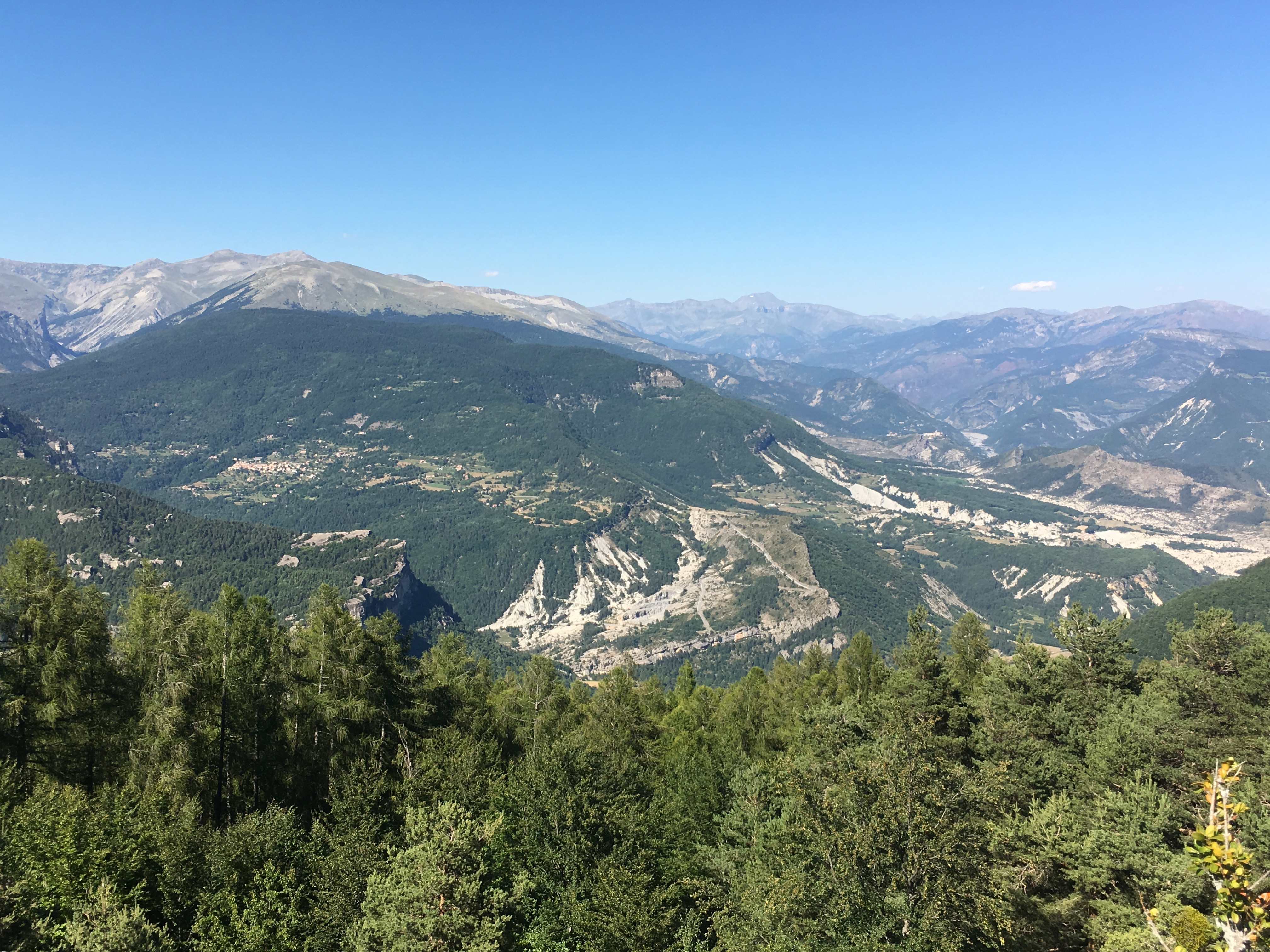
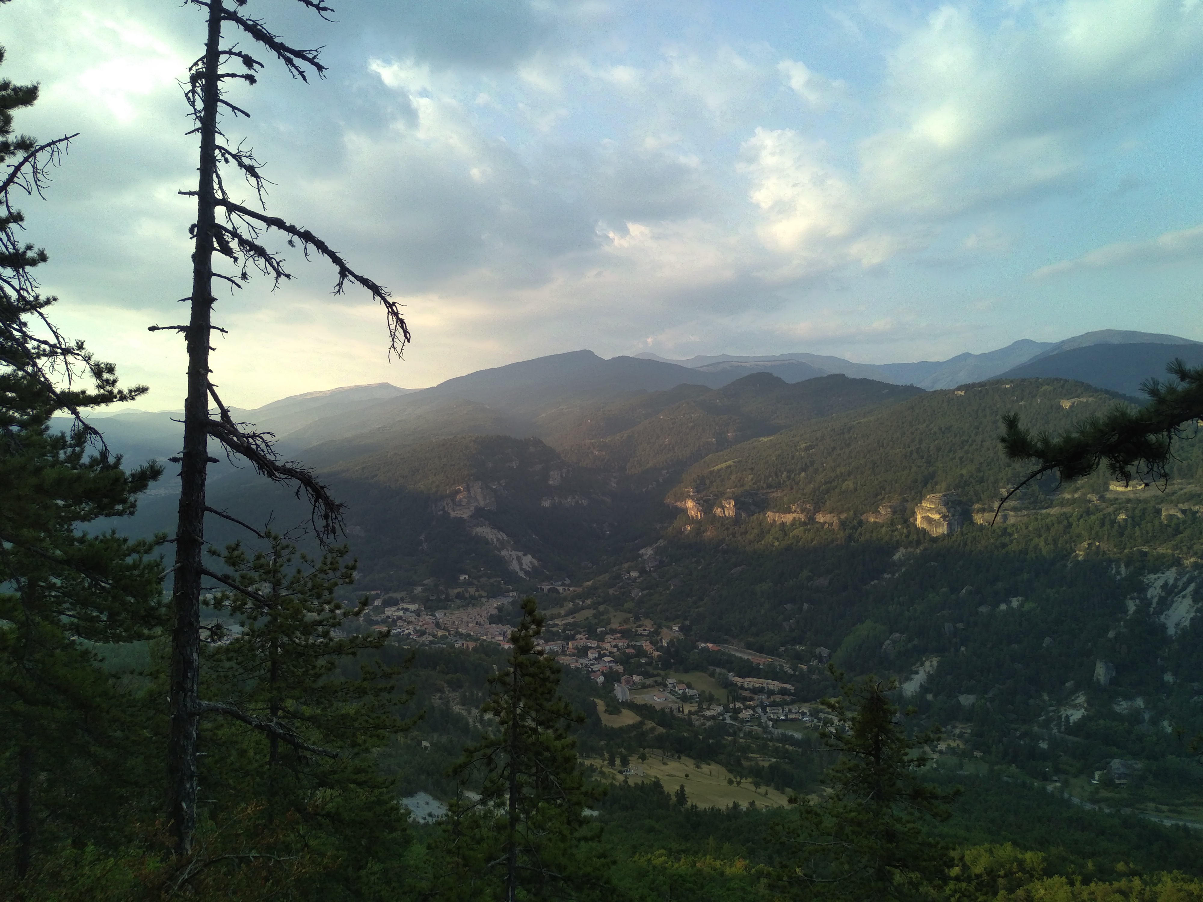
The trail offers beautiful panoramic views over the Vaïre valley and takes you through a varied forest, including a magnificent beech grove.
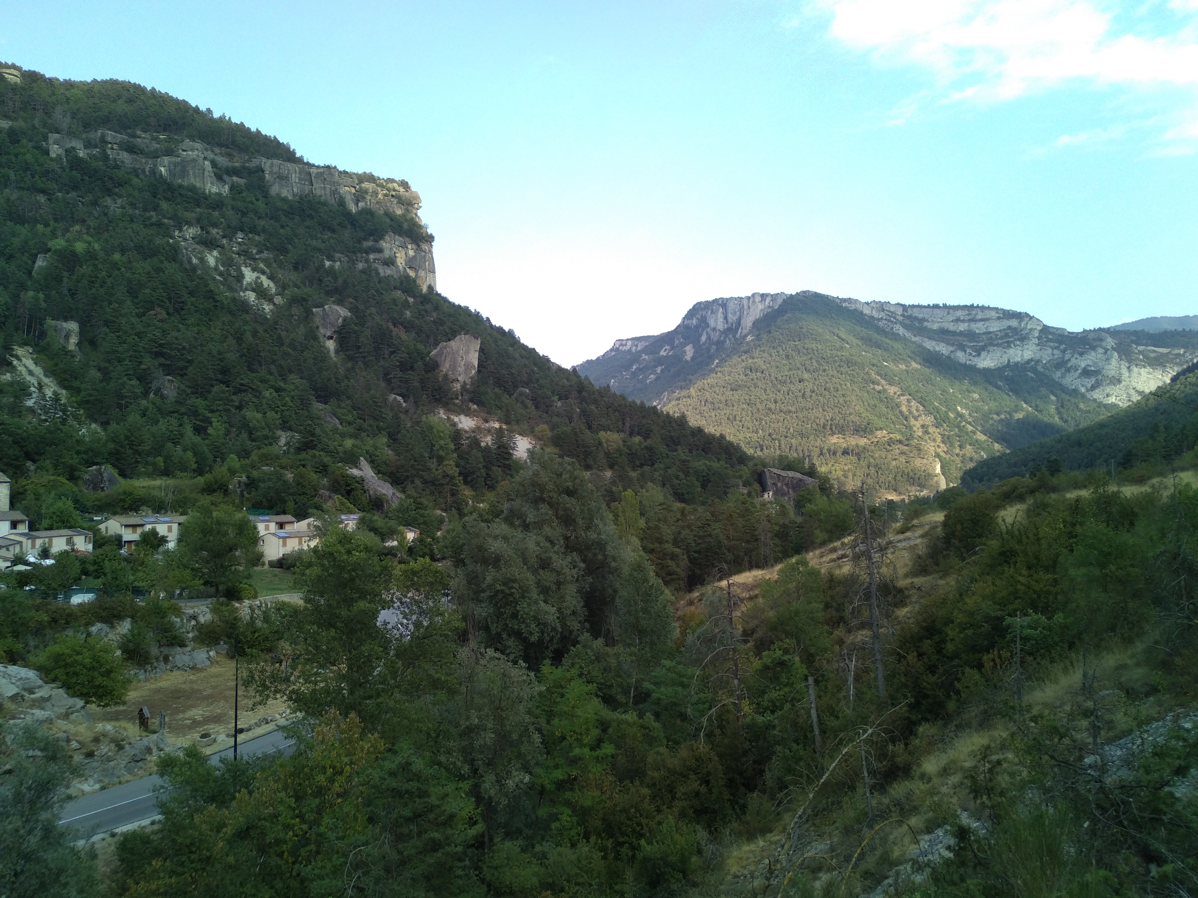
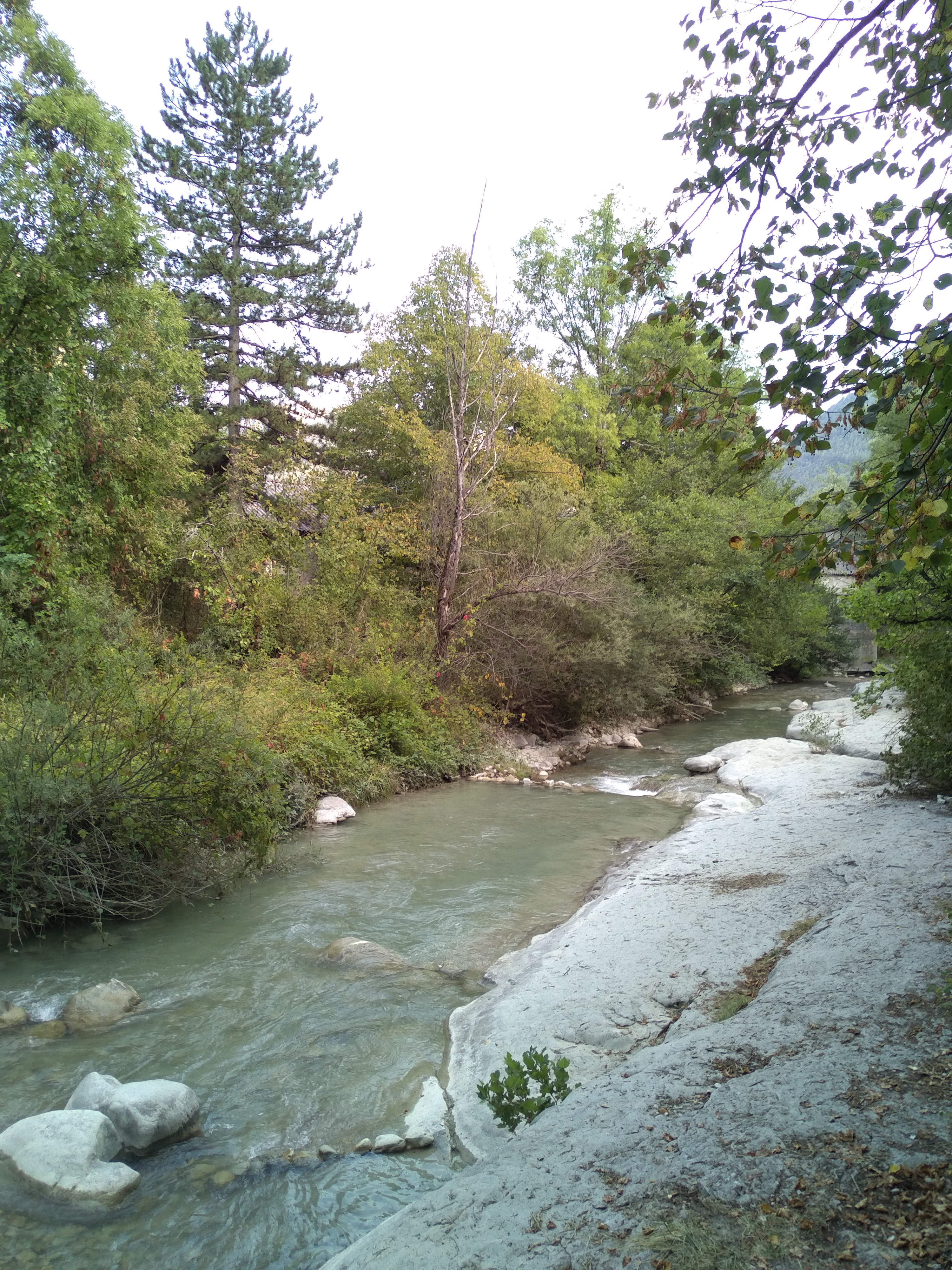
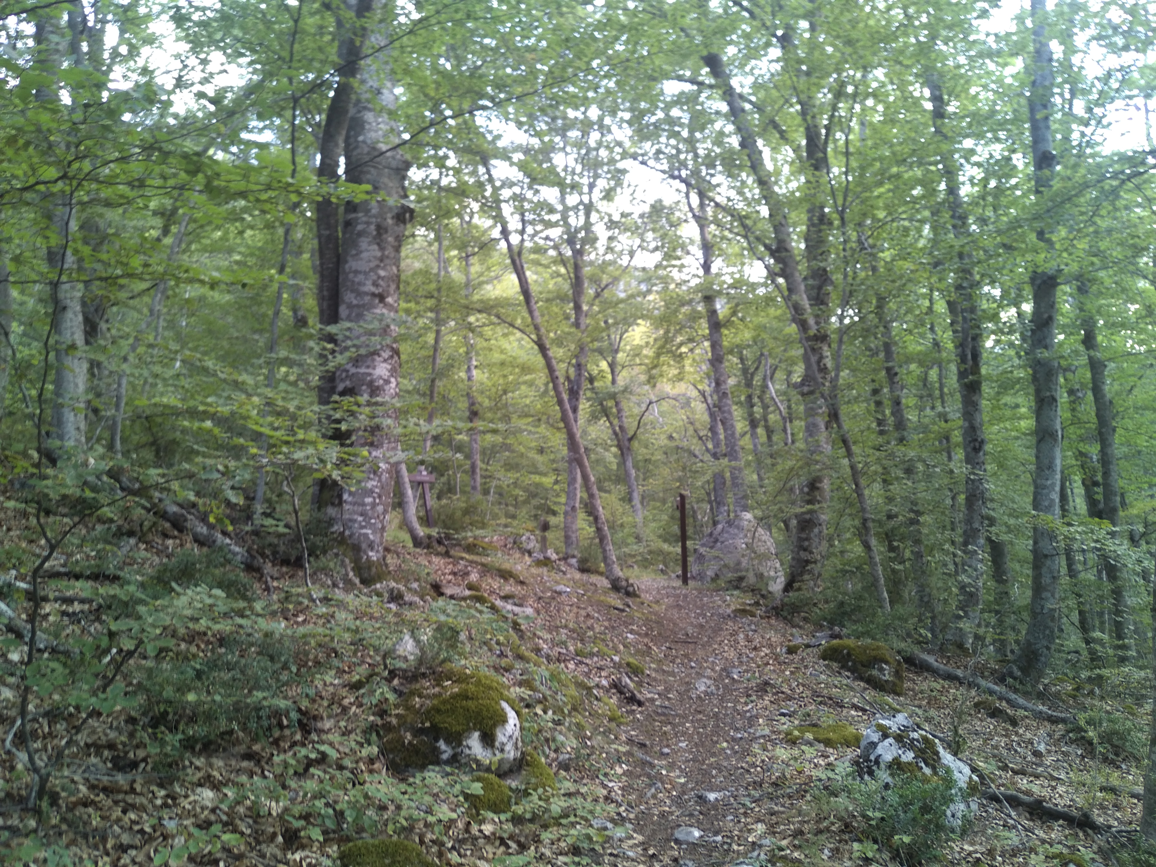
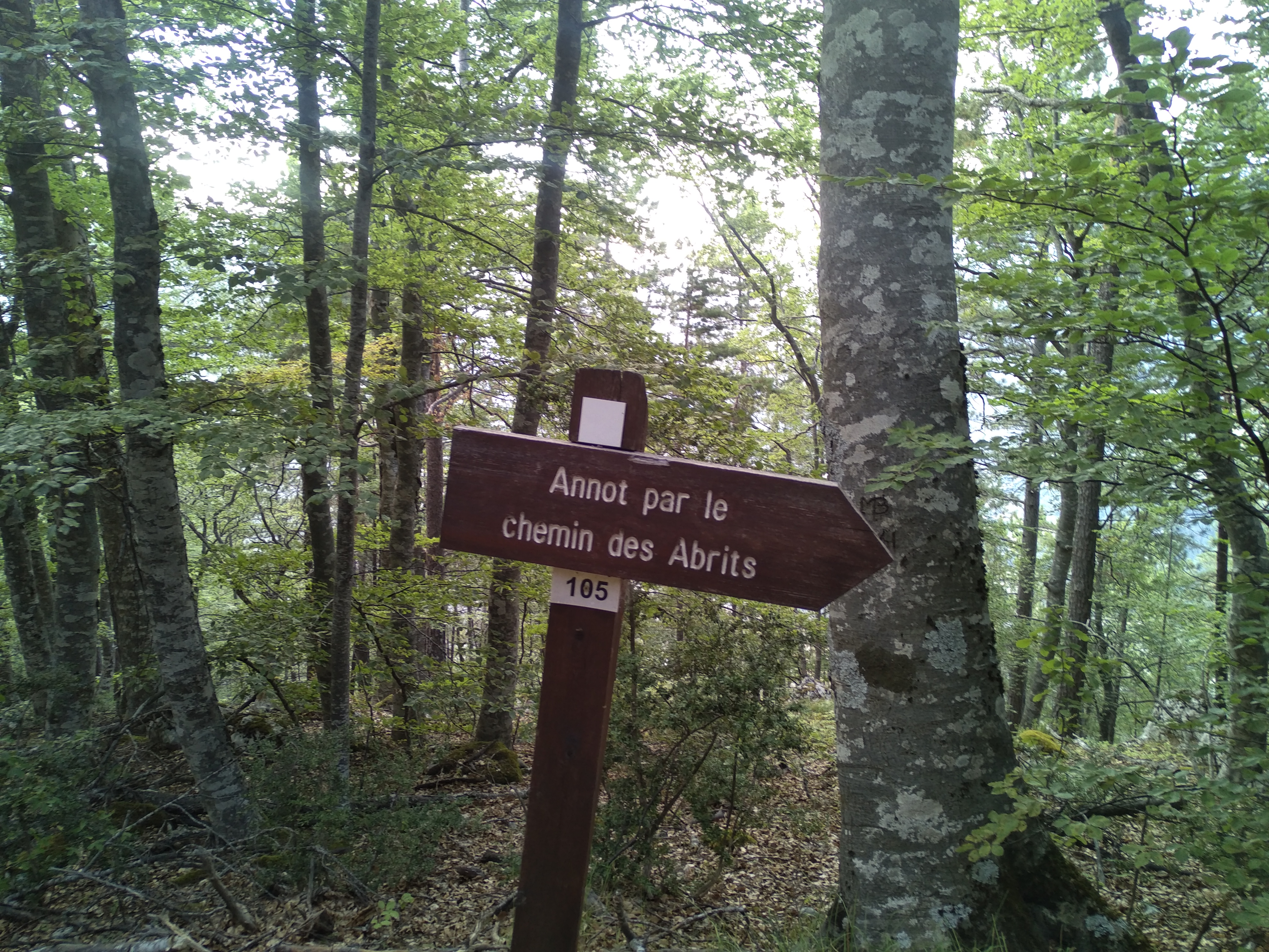
From Place du Germe, head for the Vaïre bridge, cross it and then turn left. Follow the Chemin des Abrits, then take the path alongside the Vaire (yellow/red markings). After 500 m, the path opens out into the Abrits ravine, made up mainly of bluish marl. It then climbs fairly steeply through the Feït woods for 200 m to Le Feit at 902 m altitude.
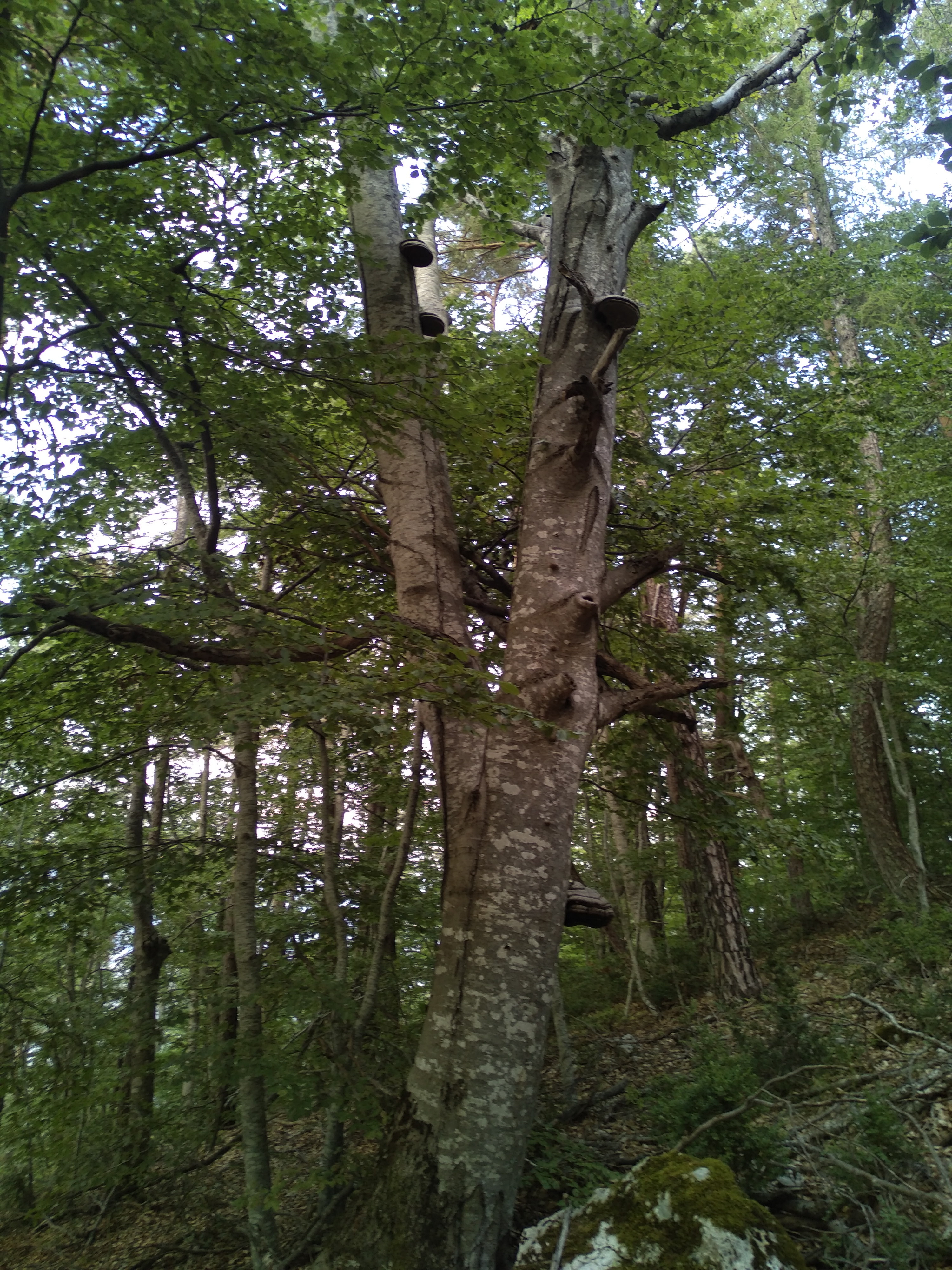
At the first crossroads, turn right towards Colle-Basse (yellow markings). The path climbs steeply through a magnificent forest of beech and pine. It leads to the Chemin de Ceinture, indicated by an old wooden beacon.
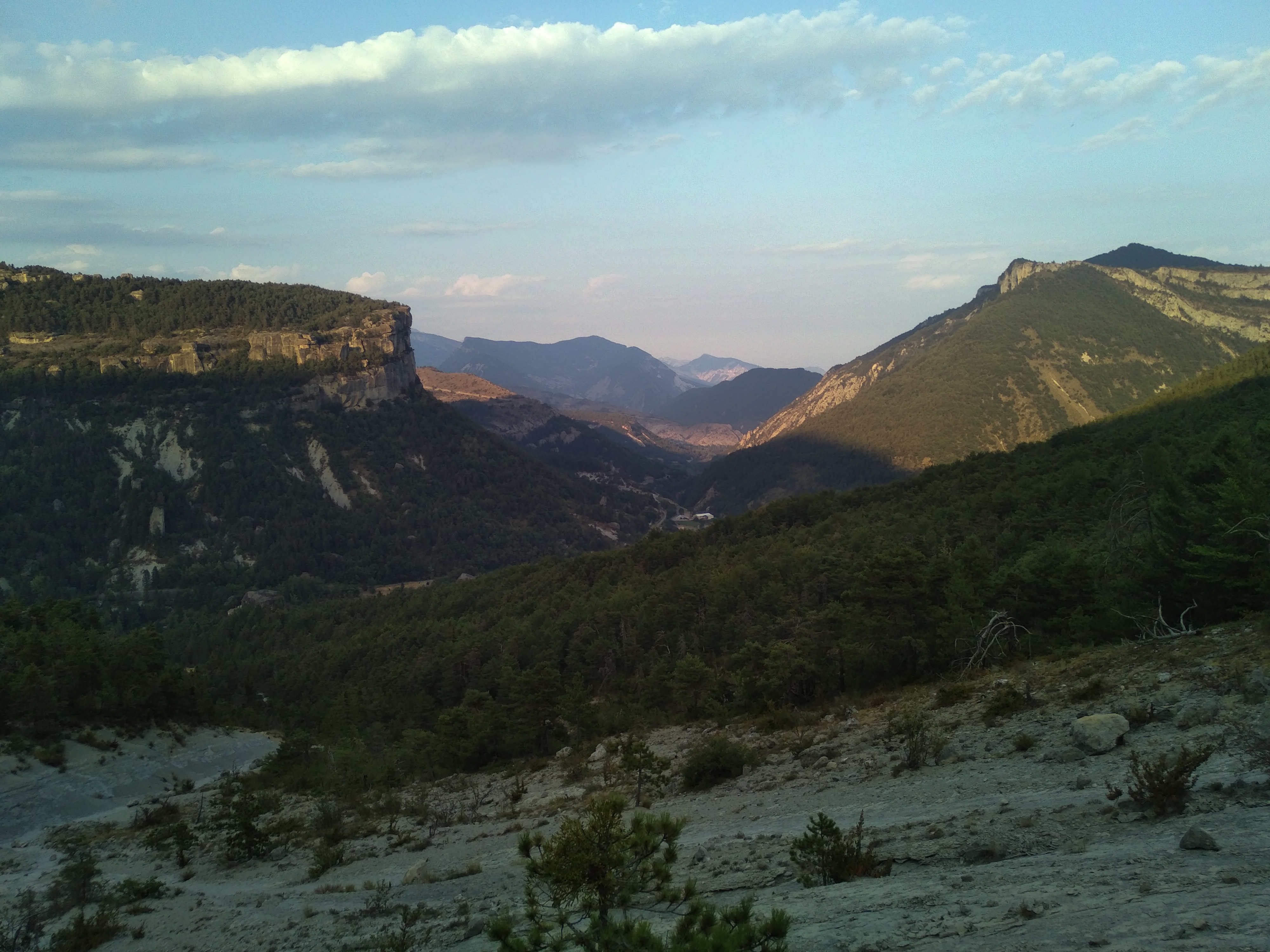
You then come to a pretty little flat with large limestone boulders and magnificent beech trees. Follow the route to the right until you reach the Bois de la Colle signpost at 1050 m altitude. At this marker, follow the Buissière in the direction of Annot.
The path then crosses the blue marls of the Abrits and offers a beautiful view of the Grès and the Vaïre valley. It leads to the small forest hut of the Gîte du Serre. From this hut, continue downhill along the Combe Renard ravine to the Pré Martin district and the village.
Yellow puis Yellow / red
550m ( Positive : 550m )
890m ( Maximum : 1094m )
Cartographic : IGN Top 25 3541 OT and Verdon Tourisme map "21 hikes around Annot".
Animaux : Accepted