La Valette

Verdon Tourisme > La Valette
Thorame-Basse-en

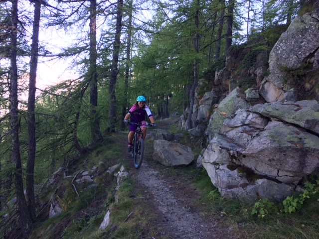
The tour heads for La Valette, a typical mountain hamlet that has withstood the rigors of the climate. The return journey is a pleasant one along the left bank of the Issole.

5 km
Round trip
Cycle
1h 30min
Medium
  • Type of land
    • Ground
  • Markup

    Itinéraire VTT: balise jaune, numéro bleu

  • Difference in level

    70m ( Positive : 70m )

  • Altitude

    1174m ( Maximum : 1214m )

  • References

    Cartographic : Carte Verdon Tourisme 24 randonnées VTT Haut-Verdon Val d'Allos

  • Spoken languages
    • French
  • Documents
    • La Valette
    • La valette
    • GPX / KML files allow you to export the route of your hike to your GPS (or other navigation tool)
  • Opening

    From 01/05 to 31/10.

    Subject to favorable snow and weather conditions.

    • * Subject to favorable weather
    • * Subject to snow conditions
  • Prices

    Free access.

  • Customer base
    • Level bue - Medium

04170 Thorame-Basse-en

Altitude : 1135 m