Ondres

  • Les Gorges de Saint Pierre
Verdon Tourisme > Ondres
Beauvezer-en

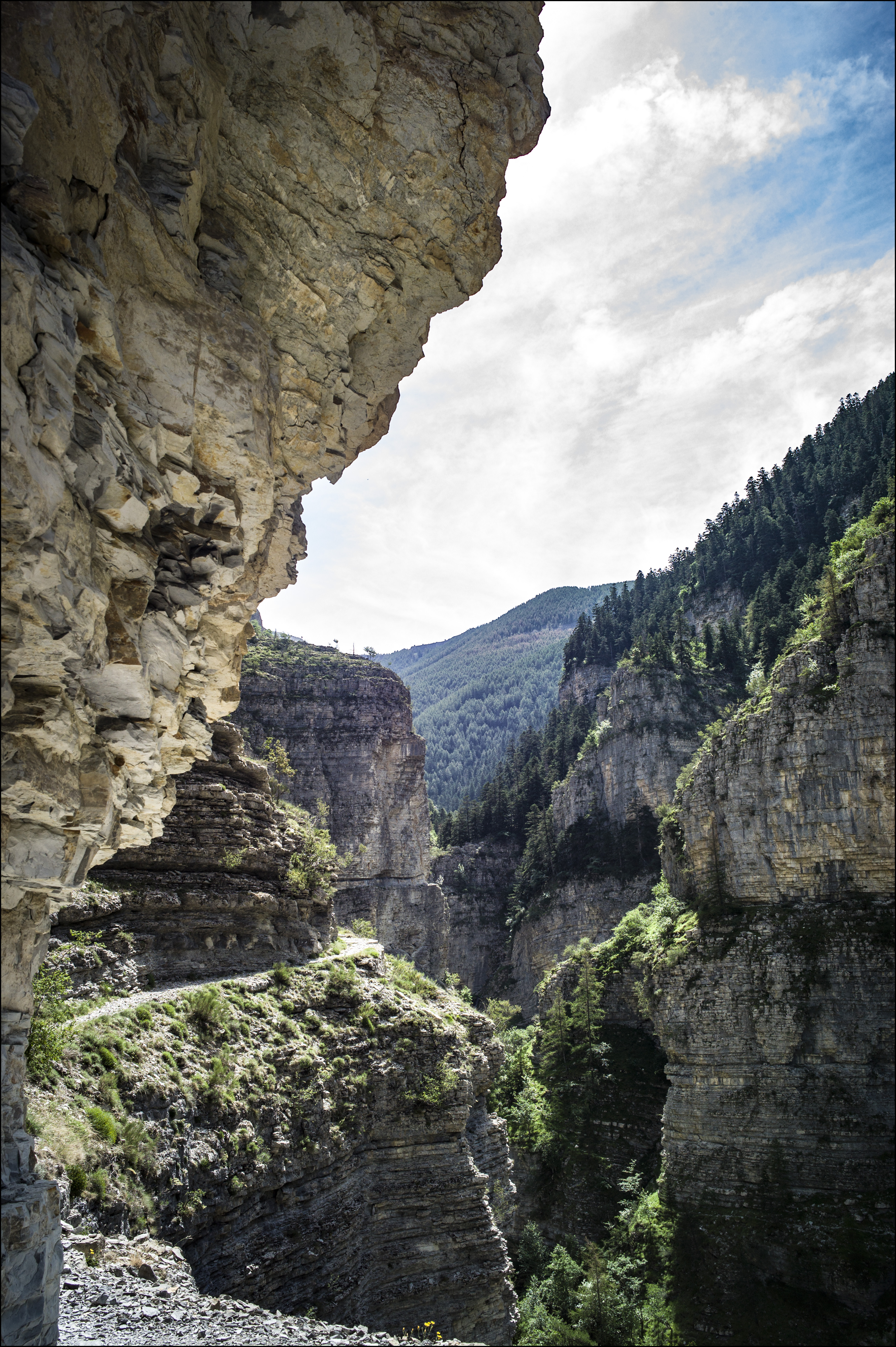
From the Villars-Heyssier bridge, a magnificent circuit along the mountainside towards the Plan de Beauvezer and the hamlet of Ondres. Return with a beautiful panorama of the Verdon.

10 km
Round trip
Cycle
2h
Hard
  • Type of land
    • Ground
  • Markup

    Itinéraire VTT: balise jaune, numéro rouge

  • Difference in level

    280m ( Positive : 280m )

  • Altitude

    1223m ( Maximum : 1330m )

  • References

    Cartographic : Carte Verdon Tourisme 24 randonnées VTT Haut Verdon Val d'Allos

  • Spoken languages
    • French
  • Documents
    • Ondres
    • Ondres
    • GPX / KML files allow you to export the route of your hike to your GPS (or other navigation tool)
  • Opening

    From 01/05 to 31/10.

    Subject to favorable snow and weather conditions.

    • * Subject to favorable weather
    • * Subject to snow conditions
  • Prices

    Free access.

  • Customer base
    • Level red – hard

04370 Beauvezer-en

Altitude : 1117 m