
-
- Search
You’ll straddle the 1860 border before the Comté de Nice became part of Provence. A milestone marking this boundary can still be seen at Col St Pons.
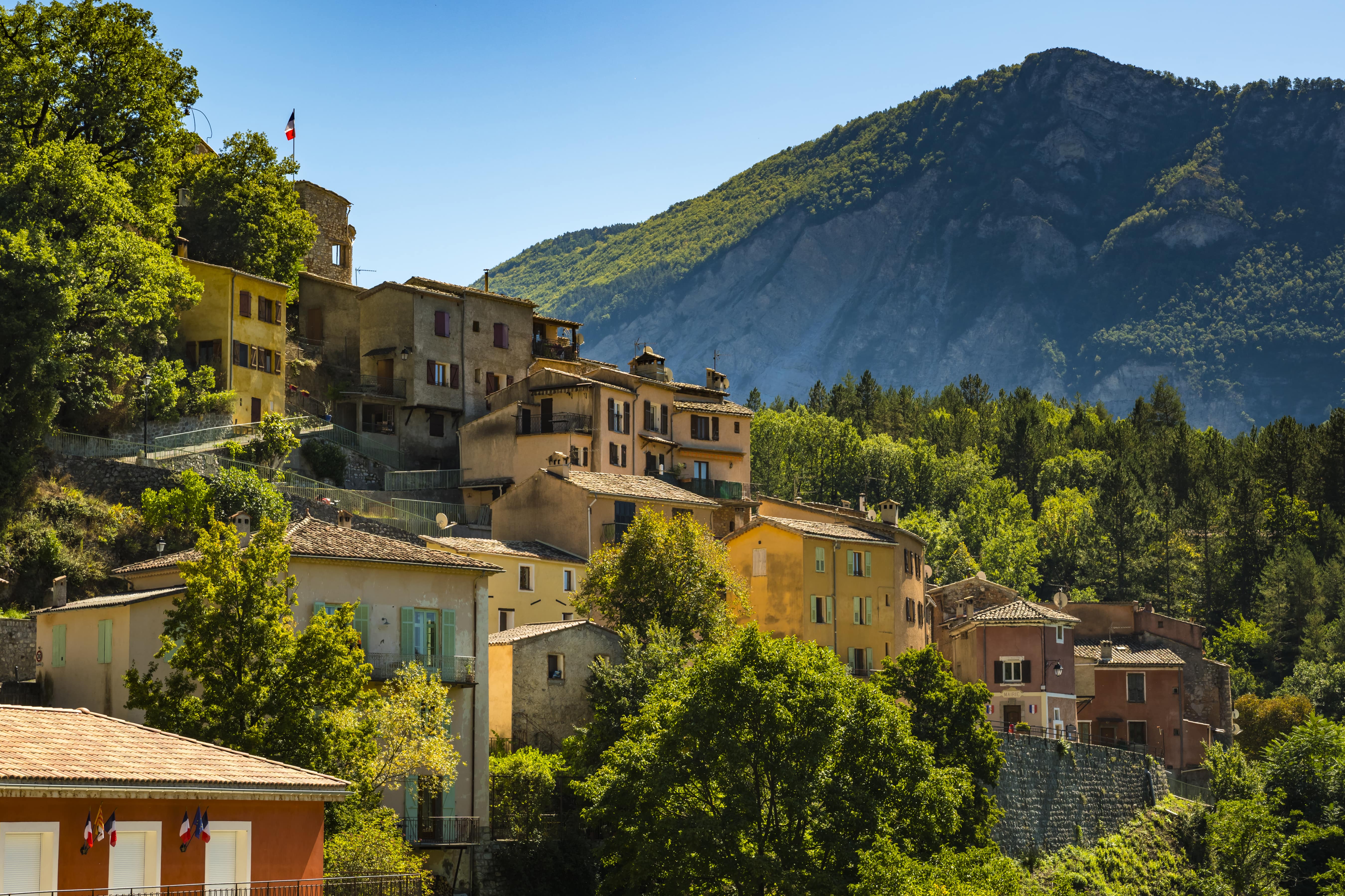
Cross the small bridge towards the village exit, and turn right towards the cemetery and the small Notre-Dame chapel. Follow the road for about 50 m, then take the path that climbs to the right towards Castellet-lès-Sausses. The path winds its way up a fairly steep slope to a crossroads, where you need to turn right. Continue along this path for about 1.5km before joining a track in the woods called “Le Chabanal”. Follow this track for about 2.3km until you rejoin the path at an altitude of 1436m. On the left, you can admire the pretty rounded summit of Mourre-Frey. The trail then continues to climb slightly for around 500m, before descending into the Belon ravine. Cross the Petit Riou and continue along the path until you reach the ridge of the same name. From here, admire the pretty view to the north-west, towards the tête de Travers. Reach the Pas de Belon at 1263m and continue down the path below, on the side of the Saint-Pons ravine. Turn right at the first junction, then right again at the second junction. The path then leads to the Col de Saint Pons, where you can admire an ancient boundary marker between the Kingdom of France and the County of Savoy. From this pass, descend below towards Sausses. The path has some slightly steeper sections in marl and limestone. It eventually leads to the small, asphalted Colette road, which winds its way down to the village center. At this point, reach the small Riou de Sausses bridge.
Yellow markings
905m ( Positive : 905m )
1128m ( Maximum : 1581m )
Cartographic : Set of 2 Verdon Tourisme maps around Annot and Entrevaux.