
-
- Search
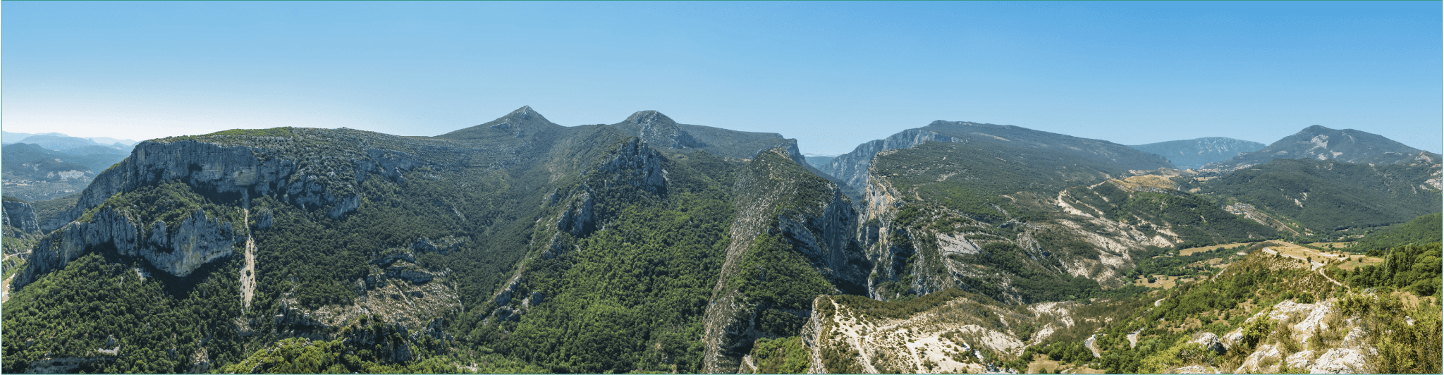
Perched more than 1,200m above sea level, overlooking the
village of Rougon, this is a unique area with a view over the
entrance to the Grand Canyon. This vast wild plateau is
distinguished by pastoralism (low walls and dry stone
sheepfolds).
As a summer pasture site, it is advisable to stay away from the
flocks supervised by protection dogs (patous). This hike is better
mid-season because of the south-facing sun exposure.
Alternate option: If you turn right a bit before the plateau you will
reach the Barre des Catalans for breathtaking views over Rougon
with a panoramic viewpoint.
If you are lucky you could see vultures flying
This round-trip route links the villages of Sausses and Castellet-lès-Sausses.
Exceptional views of where Lac de Sainte-Croix meets the Gorges du Verdon. A beautiful, steep, sporty and aerial circuit via the Col de l’Âne and Col de Plein Voir, located on the ridge overlooking the terminal part of the Verdon canyon.
Located on the Dourbes bar at an altitude of 1,622 m, the Pas de Labaud, like the Pas de Tartonne and Pas de la Faye, has long been used by the inhabitants of the Asse valley to reach the Bléone valley and the Digne-les-Bains region.
After a shady climb through undergrowth, the route reaches the mountain pastures of Montagne de Maurel, entering the Verdon Regional Nature Park. Panoramic views of the highest peaks in the Verdon and Mercantour regions.
The circuit offers a wonderful opportunity to discover the magnificent Thorame-Basse region. As you follow the trail, you’ll be enchanted by the picturesque scenery and panoramic views of the surrounding hamlets.
Dating from the 17th century, this pretty bridge over the Verdon is well worth the detour… It’s an ideal walk for a special moment in the heart of the Verdon: a calm, unspoilt place, far less crowded than the Gorges.
A hike through terraced olive groves, with beautiful views over the valley and village, to the hamlet of Les Lacs on the border with the Alpes Maritimes.
This path, mostly in chestnut forest, offers a beautiful panorama of the sandstone and the village. The start of the route follows the Roman road along the Beïte valley.
The path overhangs and then crosses the Besseuges stream, which marked the ancient border between Provence and the County of Nice, and then you reach the end of the world.