
-
- Search
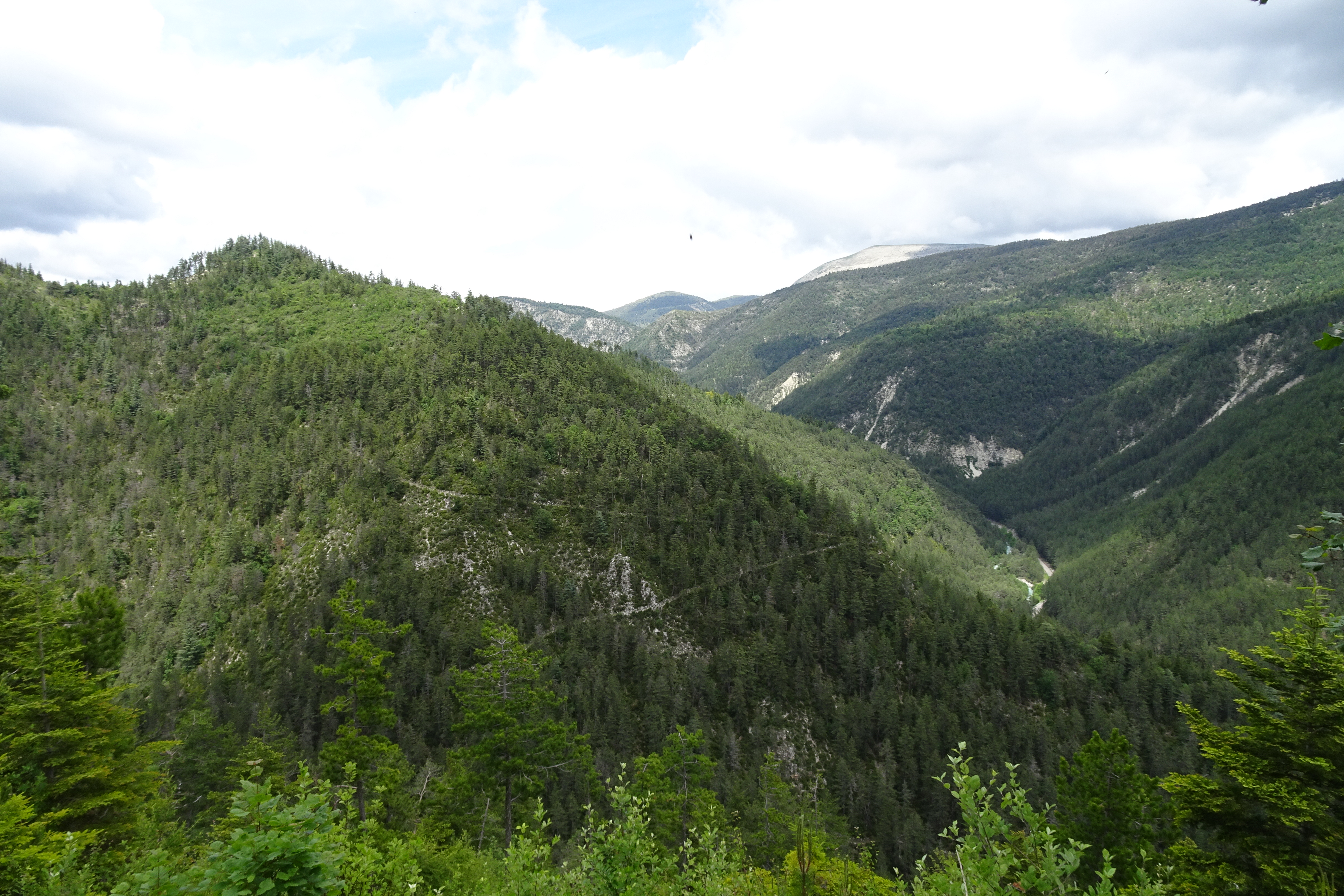
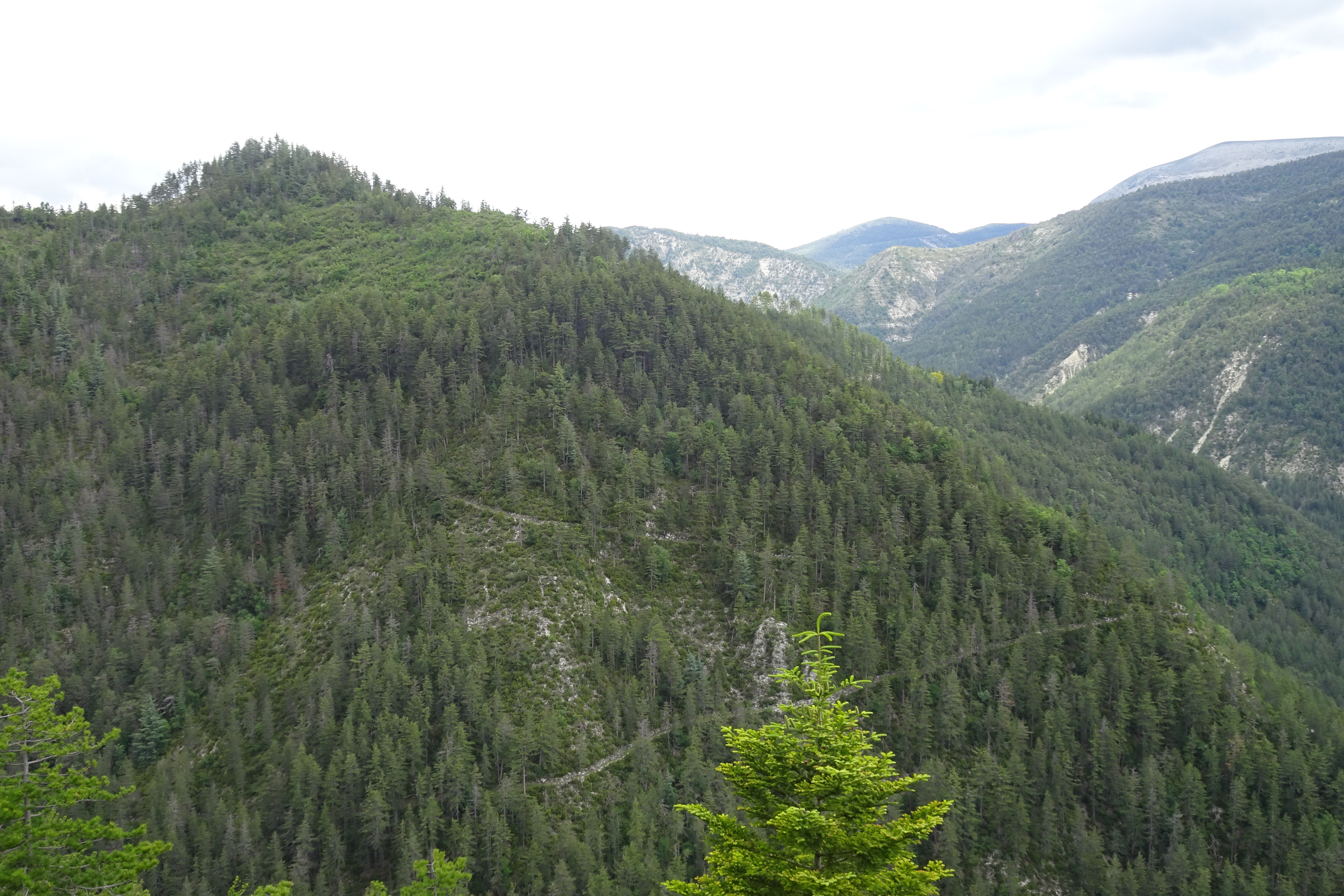
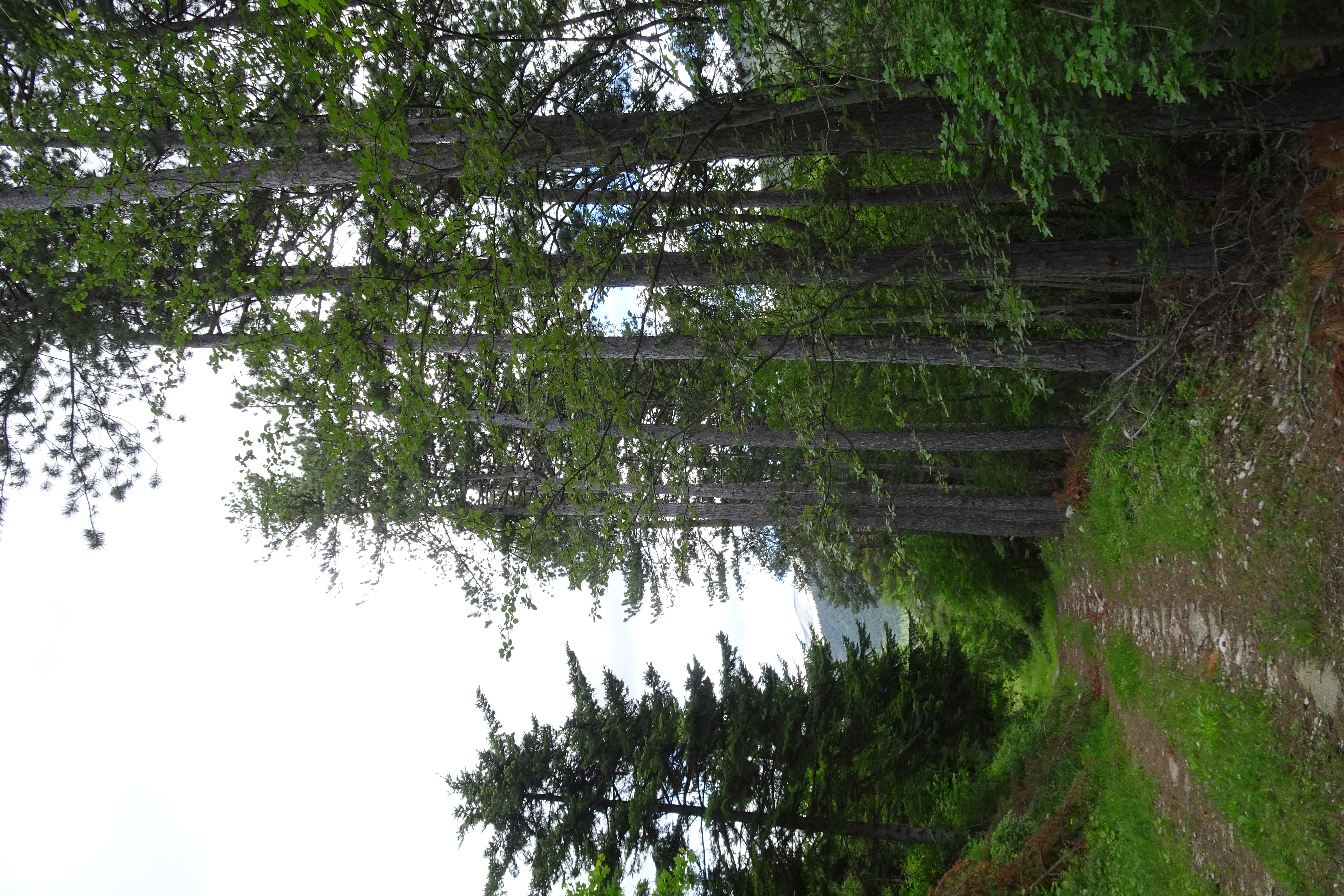
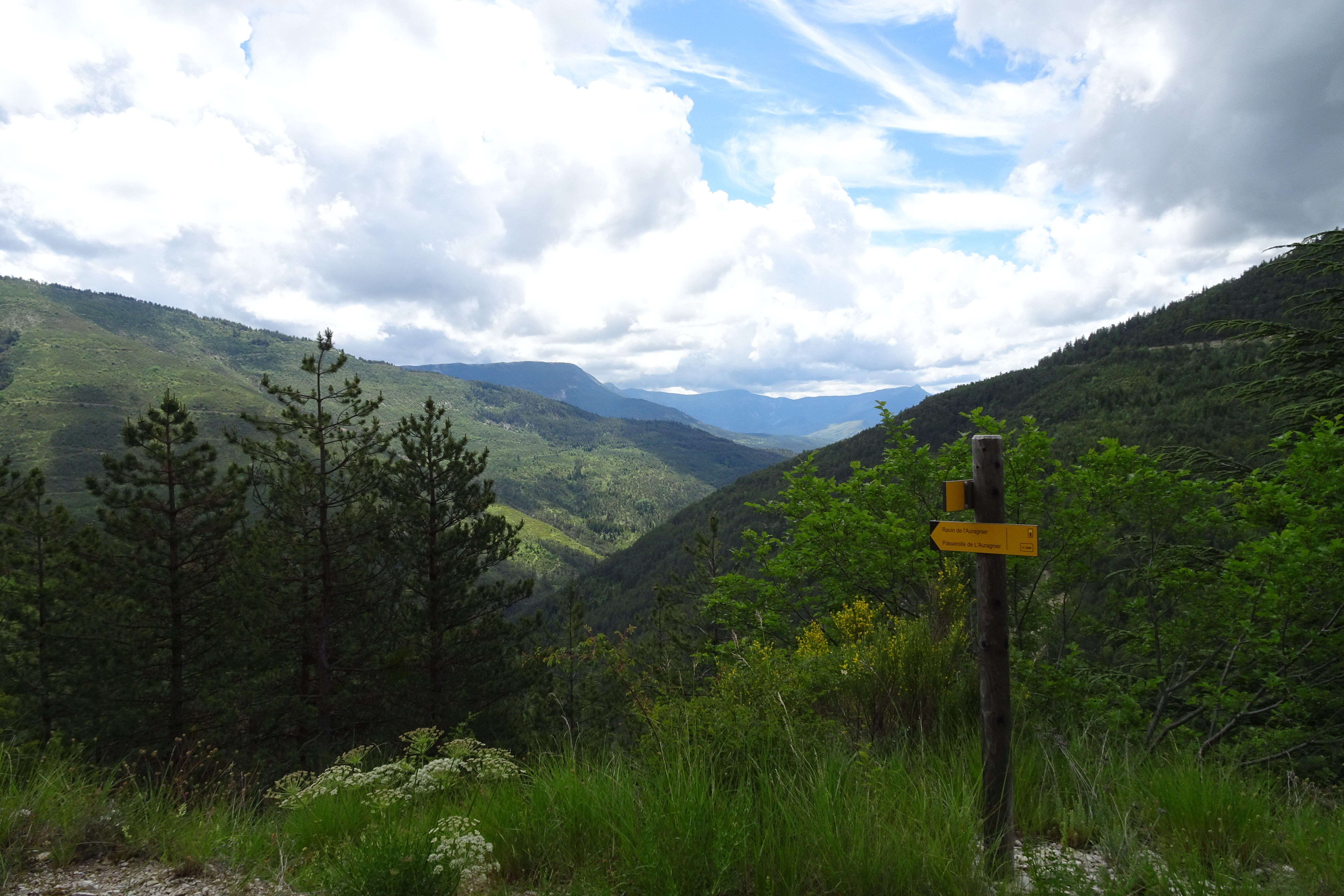
In the shade of the reforested slopes, the walk takes you to the hamlet of Coulet, from where you have a fine view of the Maurel mountain.
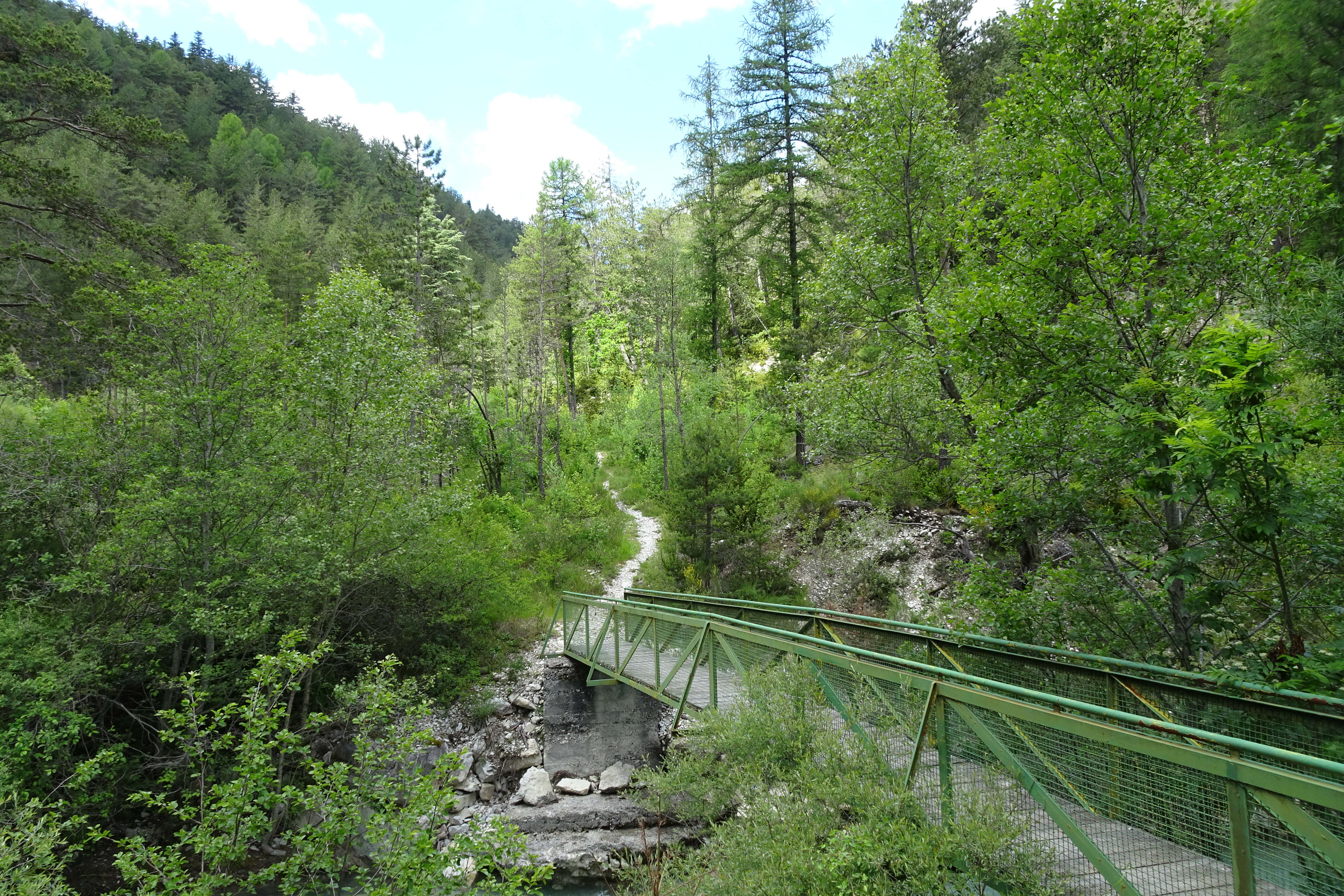
After parking, cross the pretty Auragnier footbridge over the Issole. At the first crossroads, turn right onto the narrow path leading up into the woods, towards “Le Coulet”. Always follow the paths to the left. Once you’ve reached Le Coulet, follow the signs for “Passerelle de l’Auragnier” (left again!). Follow it for 100 m and once again take the left-hand path to the “Passerelle de l’Auragnier”. The descent through the trees is very pleasant and you’ll come to the pretty footbridge at the start of your walk.
Yellow
320m ( Positive : 320m )
1130m ( Maximum : 1282m )
Cartographic : Set of 2 Verdon Tourisme maps of the Saint André and Barrême areas and of the Verdon gorges, from La Palud-sur-Verdon to Castellane.
Animaux : Accepted without supplements
Free of charge.