
-
- Search
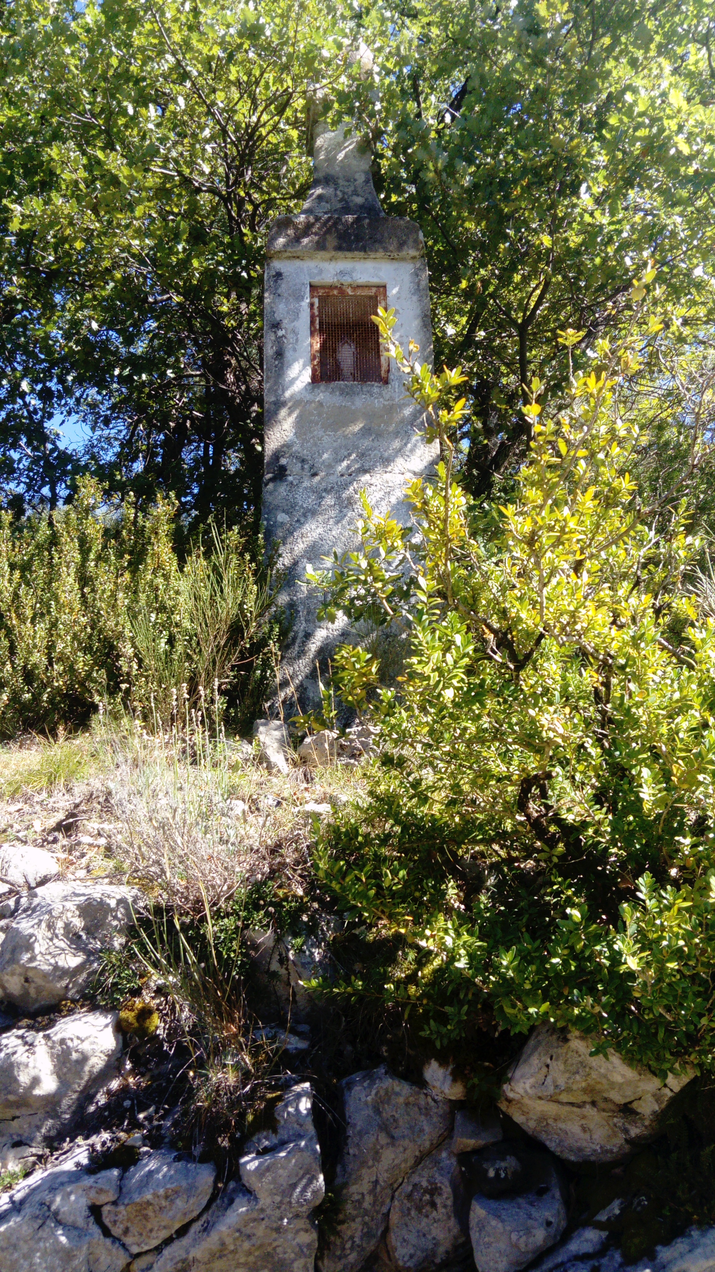
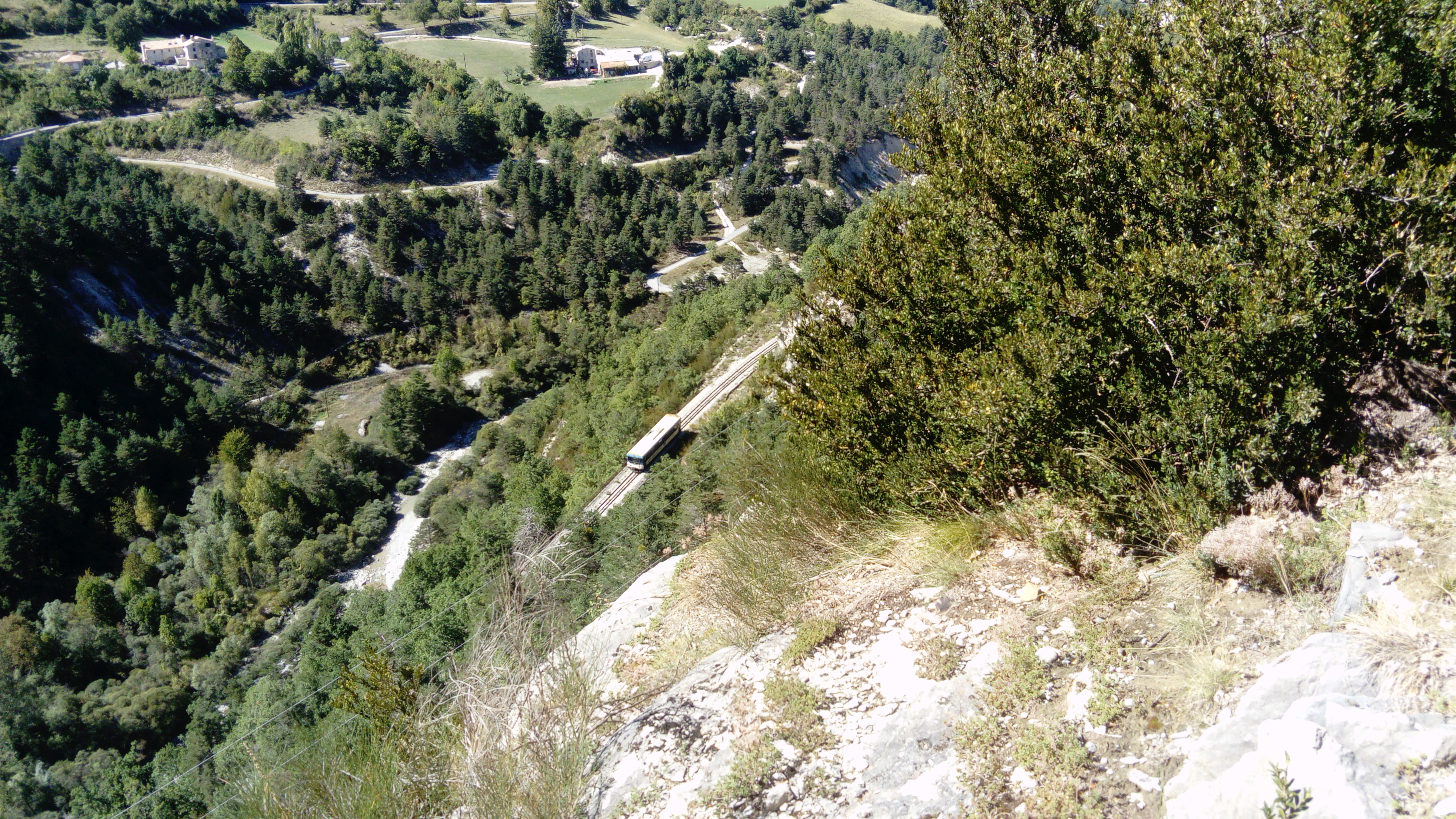
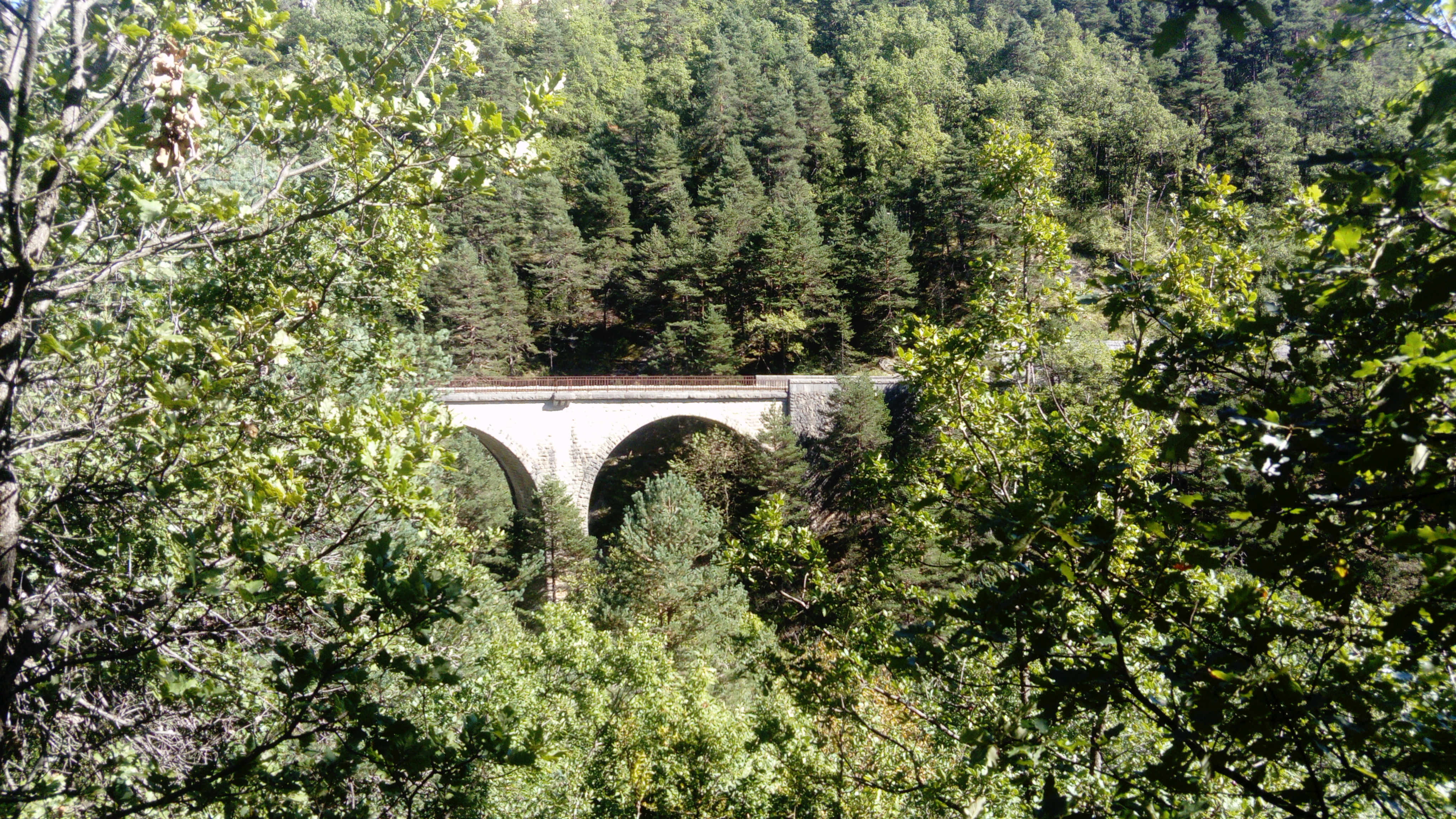
This family trail, which winds through undergrowth, overlooks the valley and the Chemins de fer de Provence railway line. Old houses, bridges, wash-houses, churches and chapels in Méailles and Le Fugeret are also among the attractions of this hike.
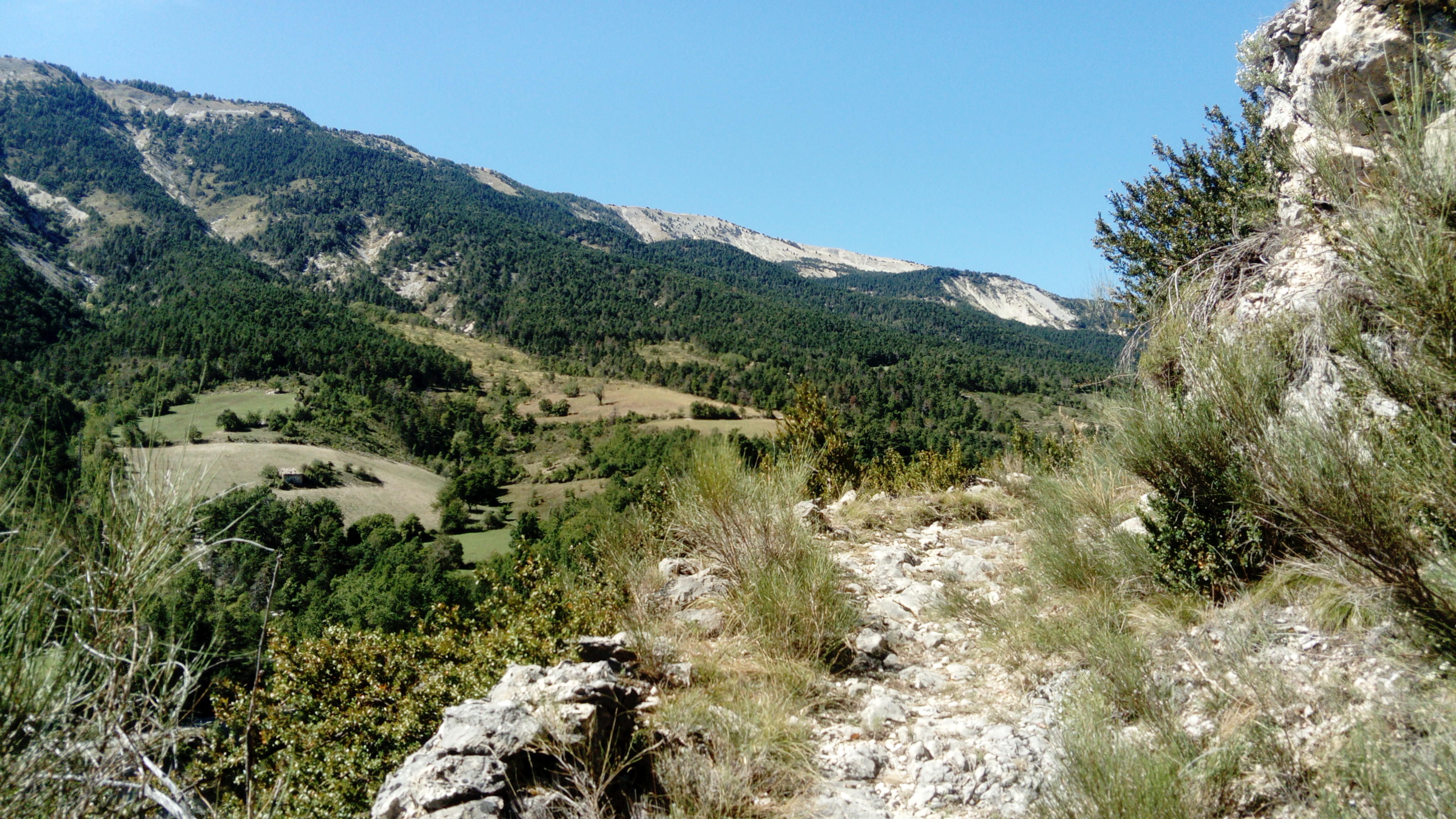
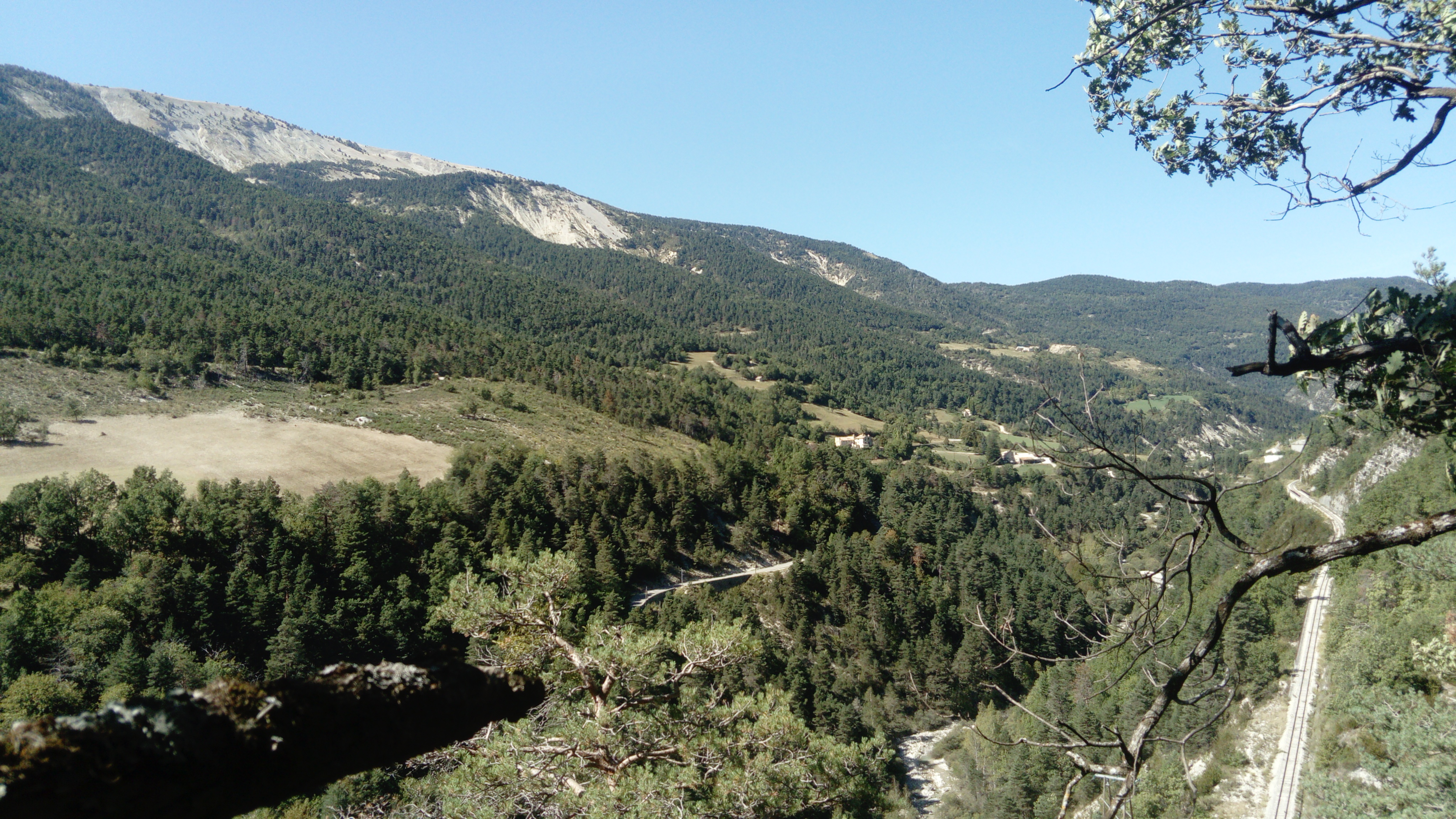
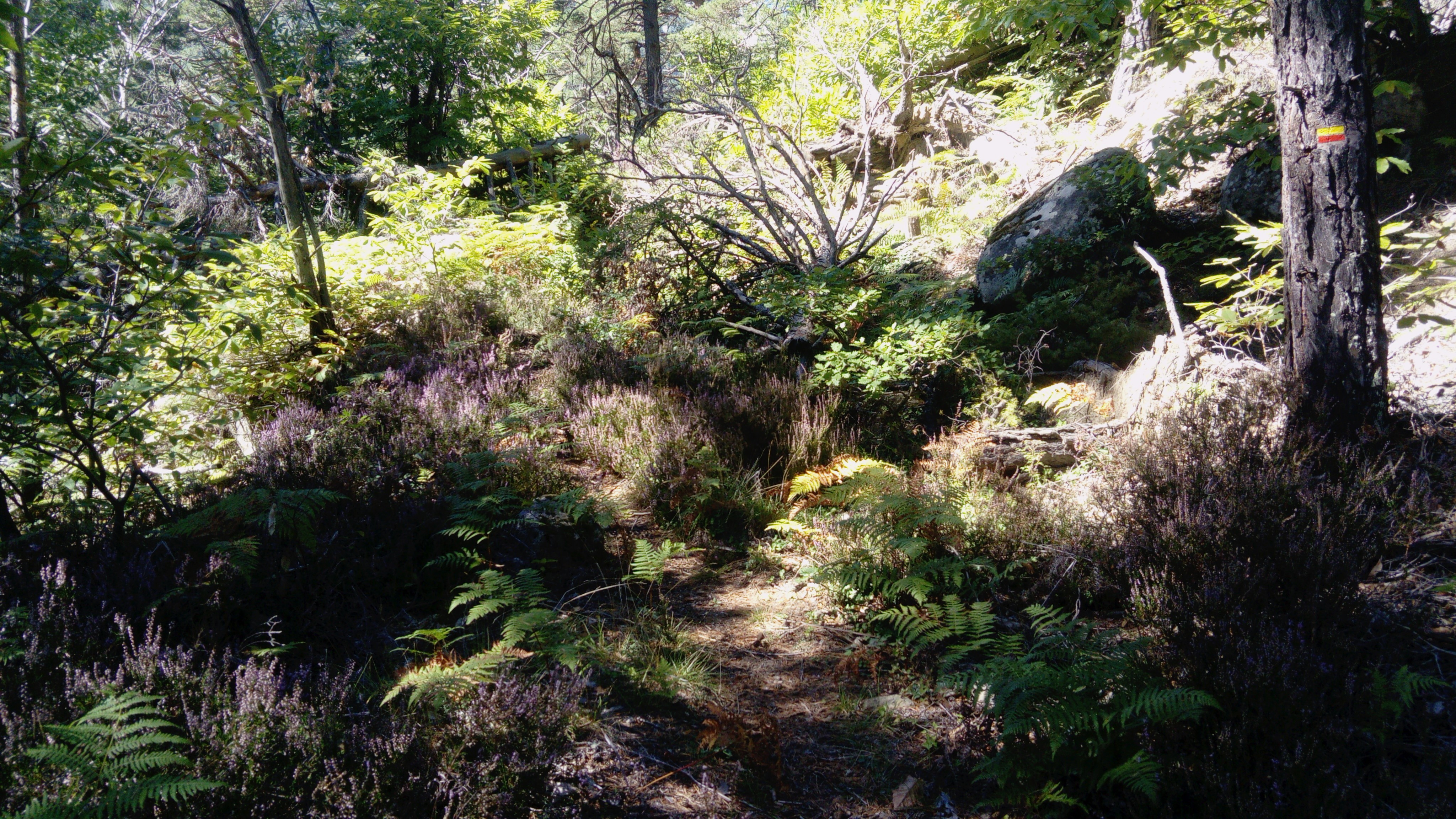
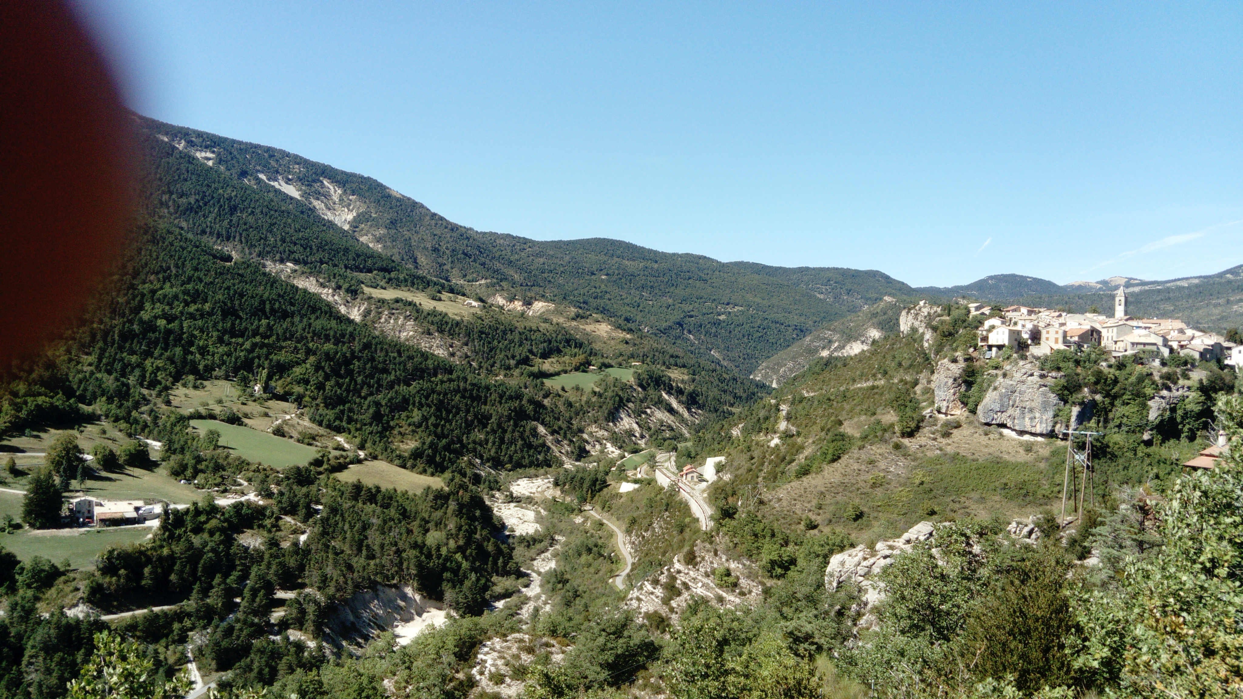
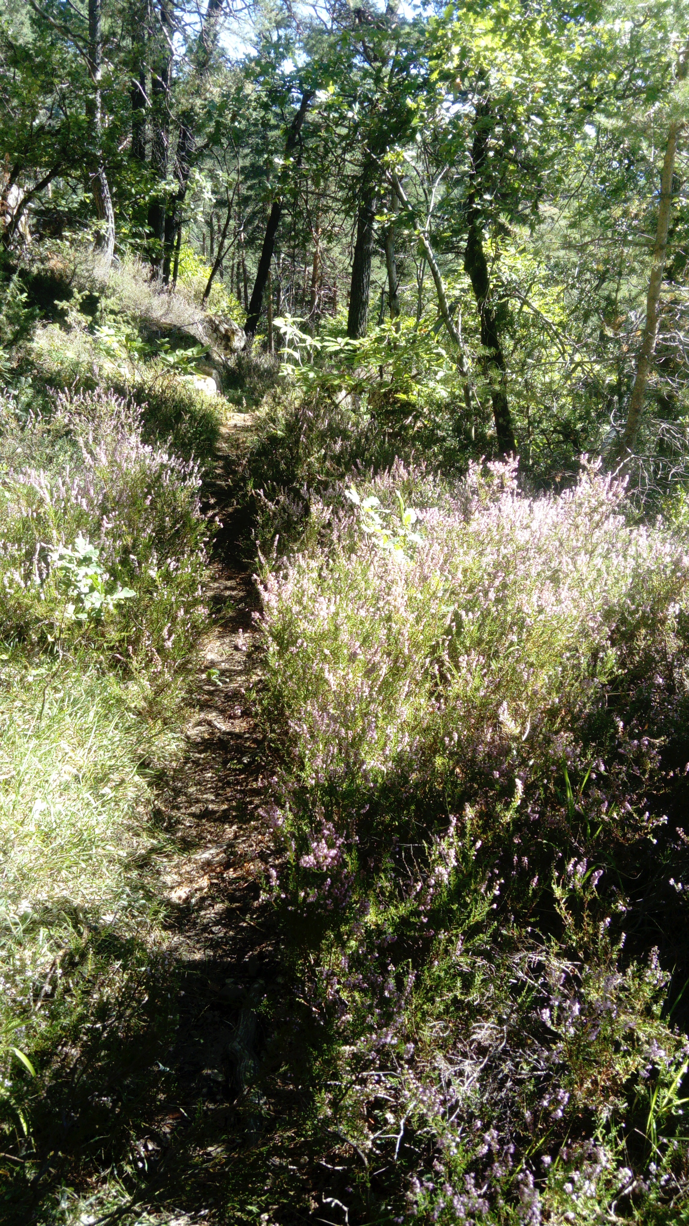
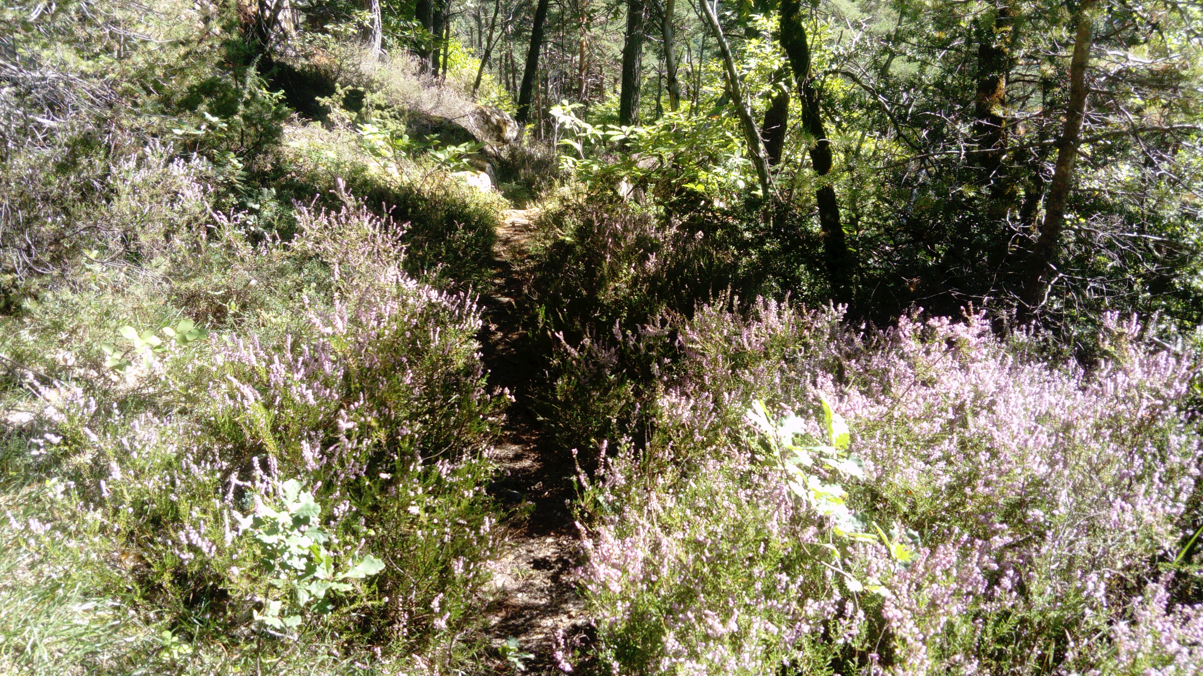
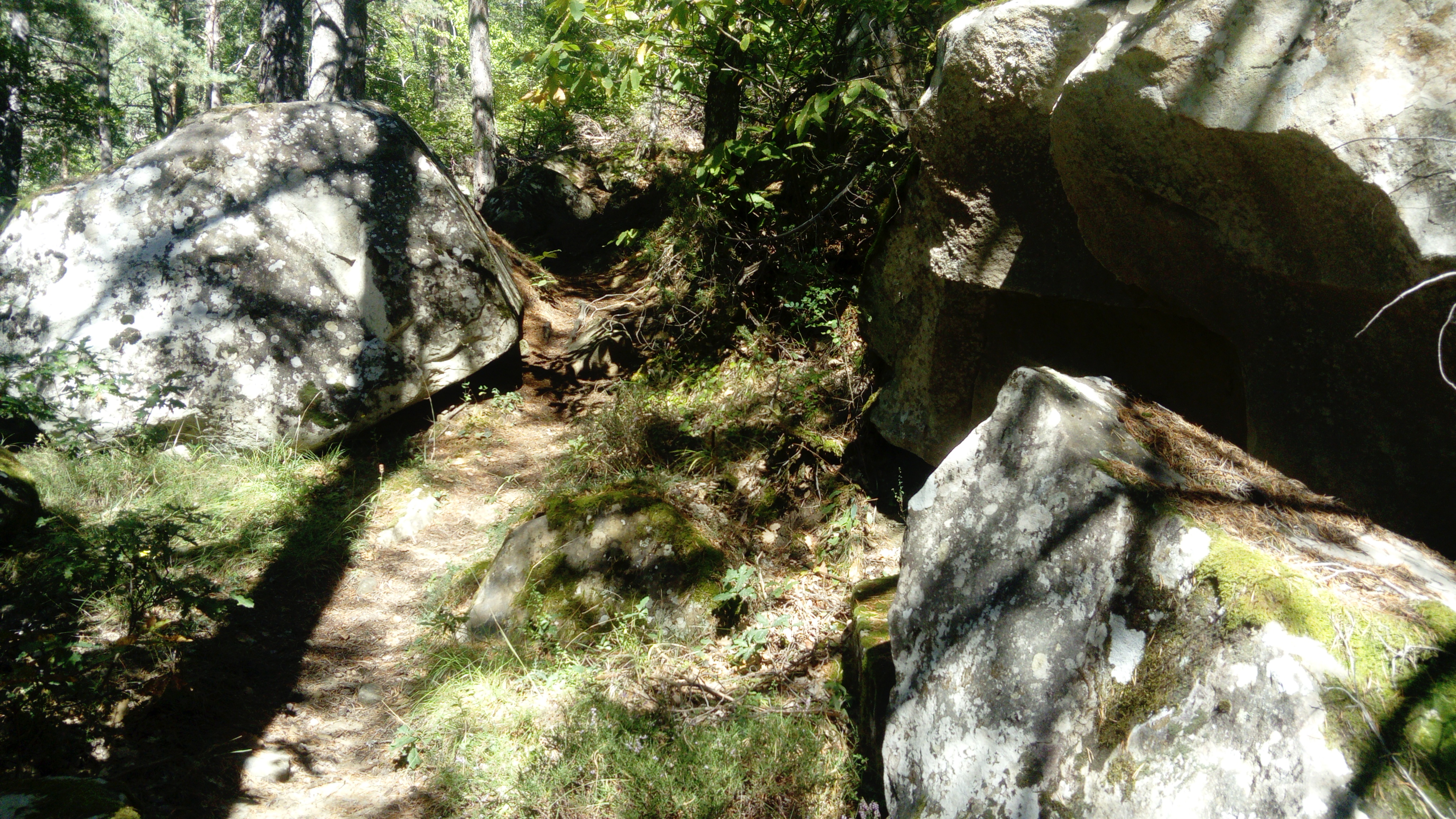
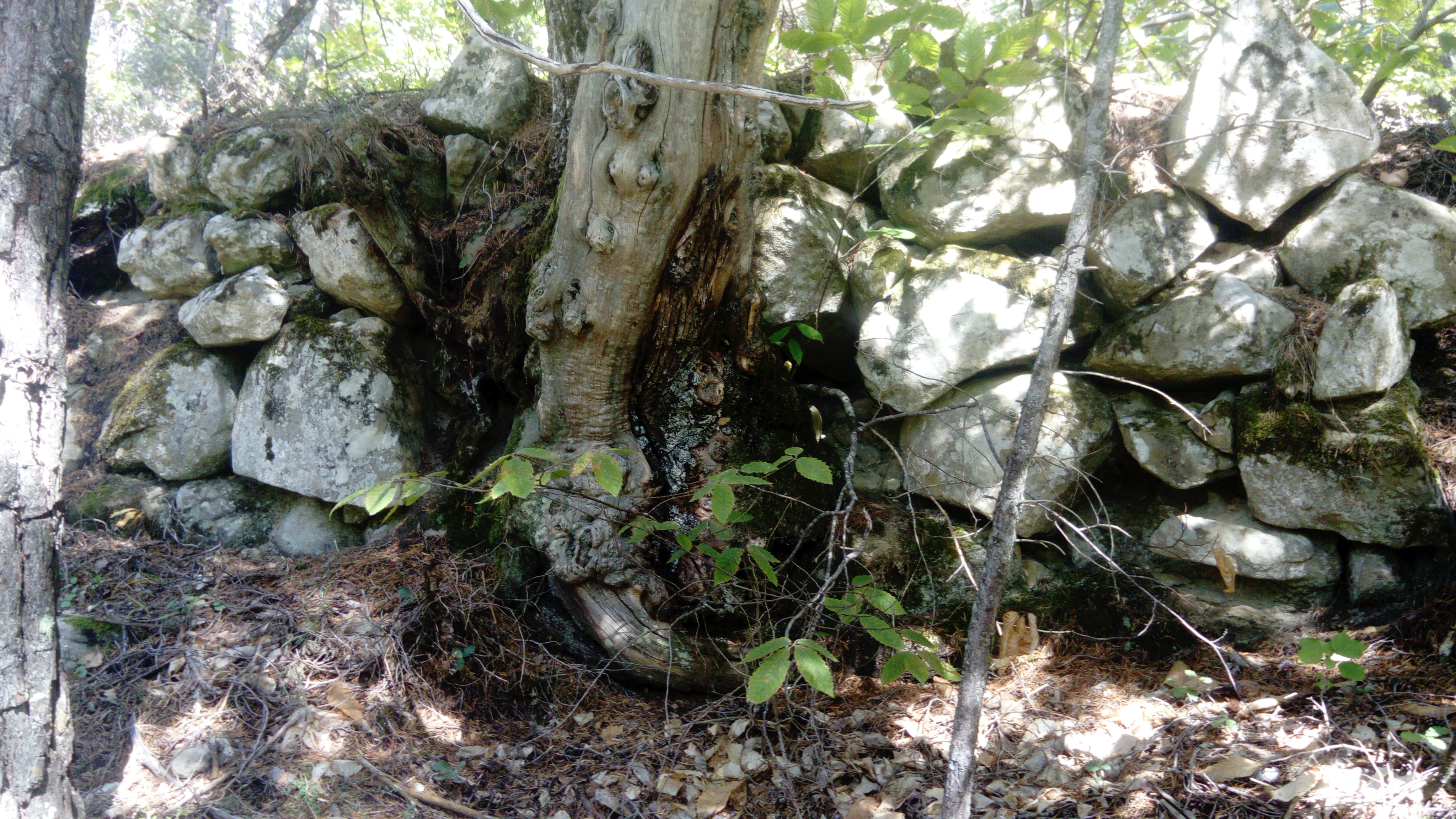
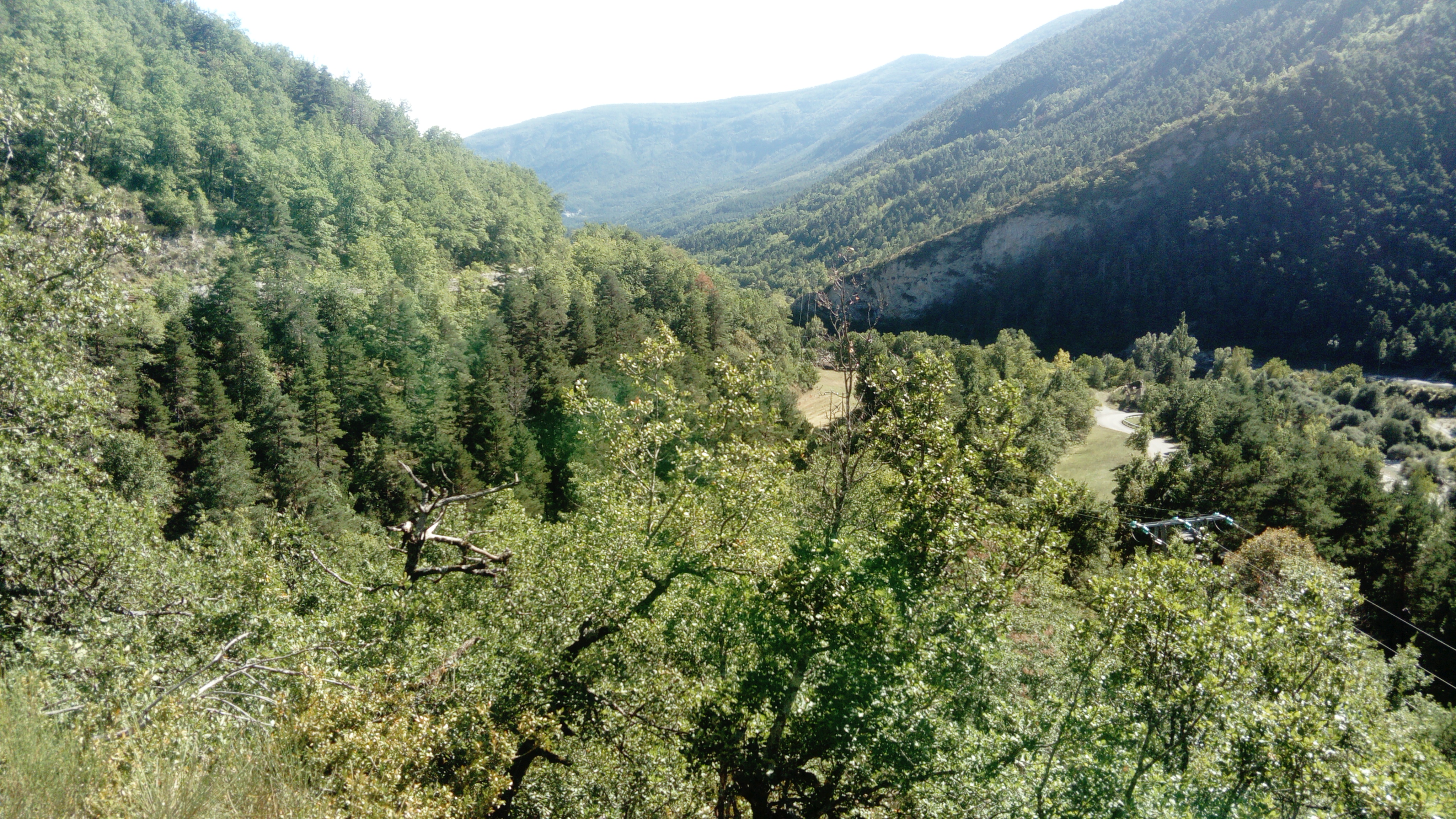
Leave the village in the direction of Méailles and follow the road for 400 metres before taking the path on your right. It rises under oak trees, the slope is steep but short-lived, and allows you to admire, on the right, a bridge of the Chemins de fer de Provence railway line. After a belvedere overlooking the valley, you progress on a false flat, through an undergrowth of heather and ferns, where pines, oaks and chestnut trees vie for the privilege of providing shade. The route is punctuated here and there by sandstone boulders and dry-stone walls. It overlooks the valley and the railway line, offering a fine view of the Charmette mountain and the bare slopes of the Rent peak.
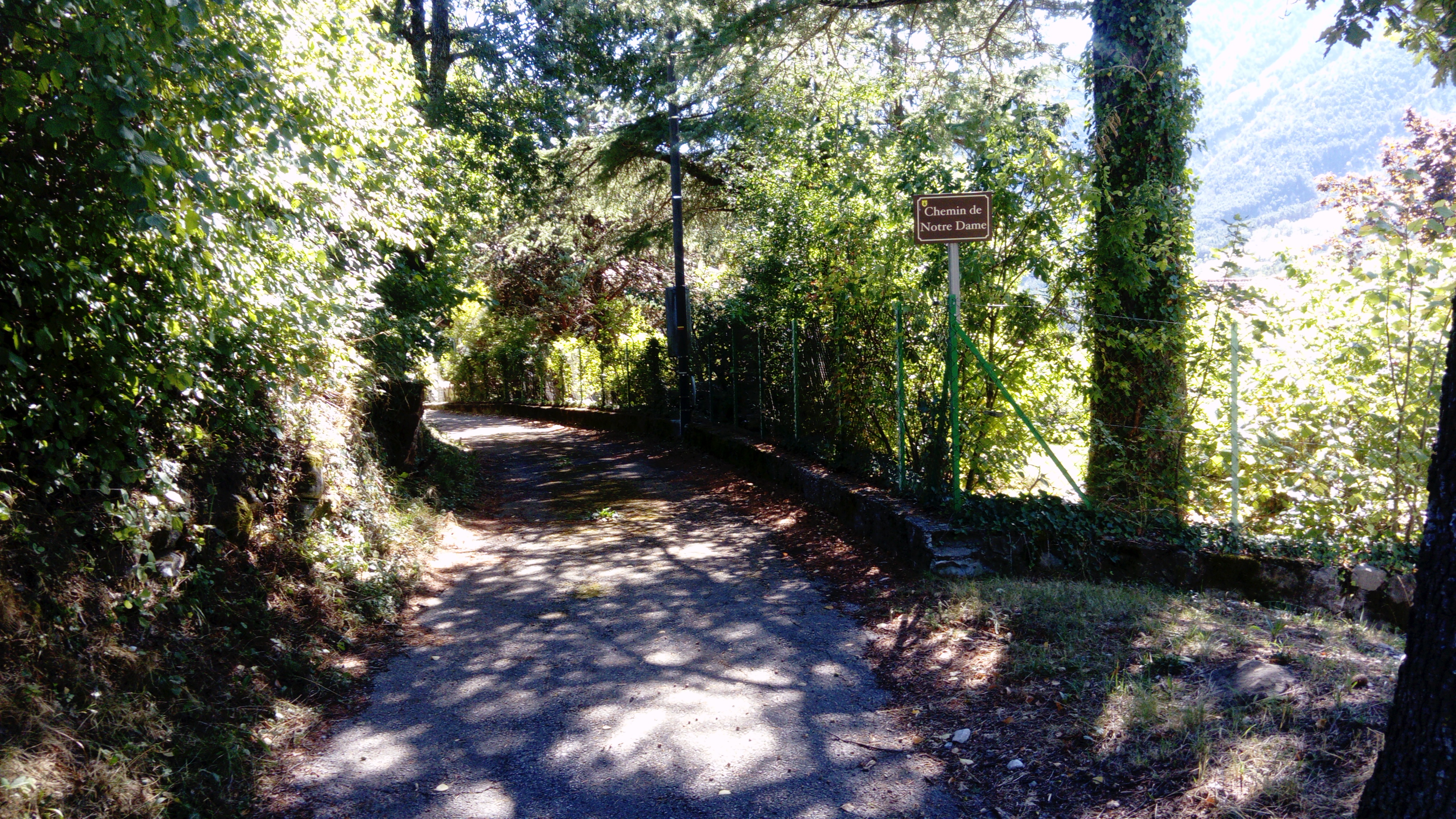
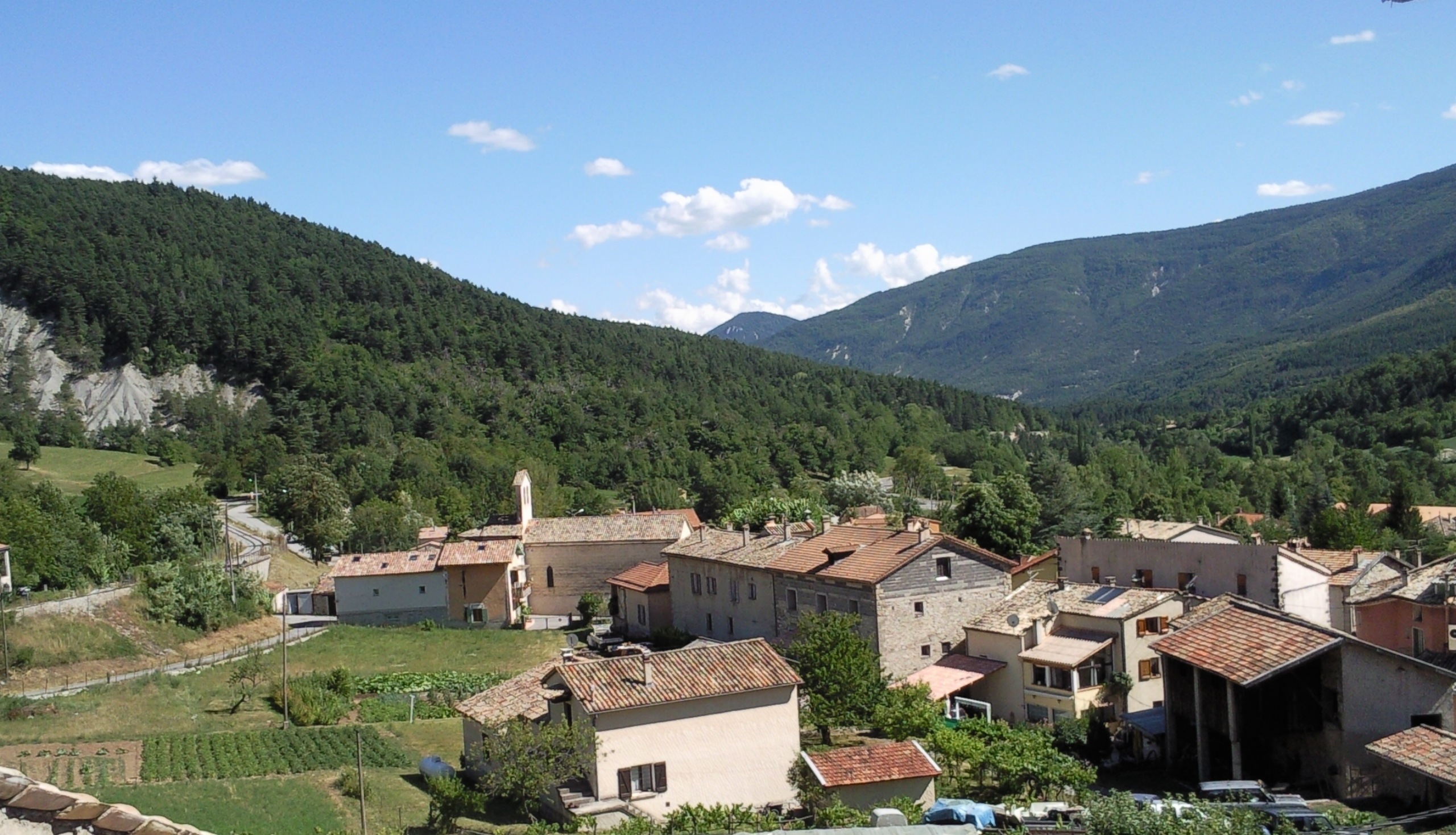
After a box hedge and a more bushy passage, it leads to a track which, two hundred metres further on, joins the Chemin de Notre Dame. You then reach the plateau and the Notre Dame du Rosaire chapel. The route offers a magnificent view of the village built on the edge of the cliff and the small railway station below.
The return journey takes the same route.
Yellow / red
210m ( Positive : 210m )
996m ( Maximum : 1048m )
Cartographic : IGN Top 25 3541 OT and Verdon Tourisme map "21 randonnées autour d'Annot" (21 hikes around Annot)
Animaux : Accepted