
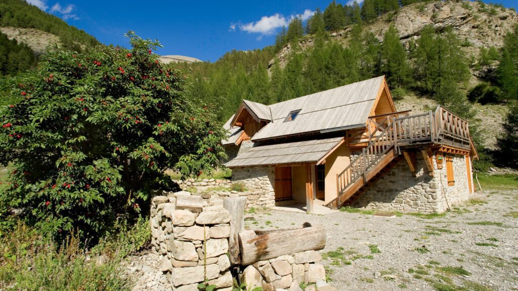
Chapelle Notre-Dame des Neiges
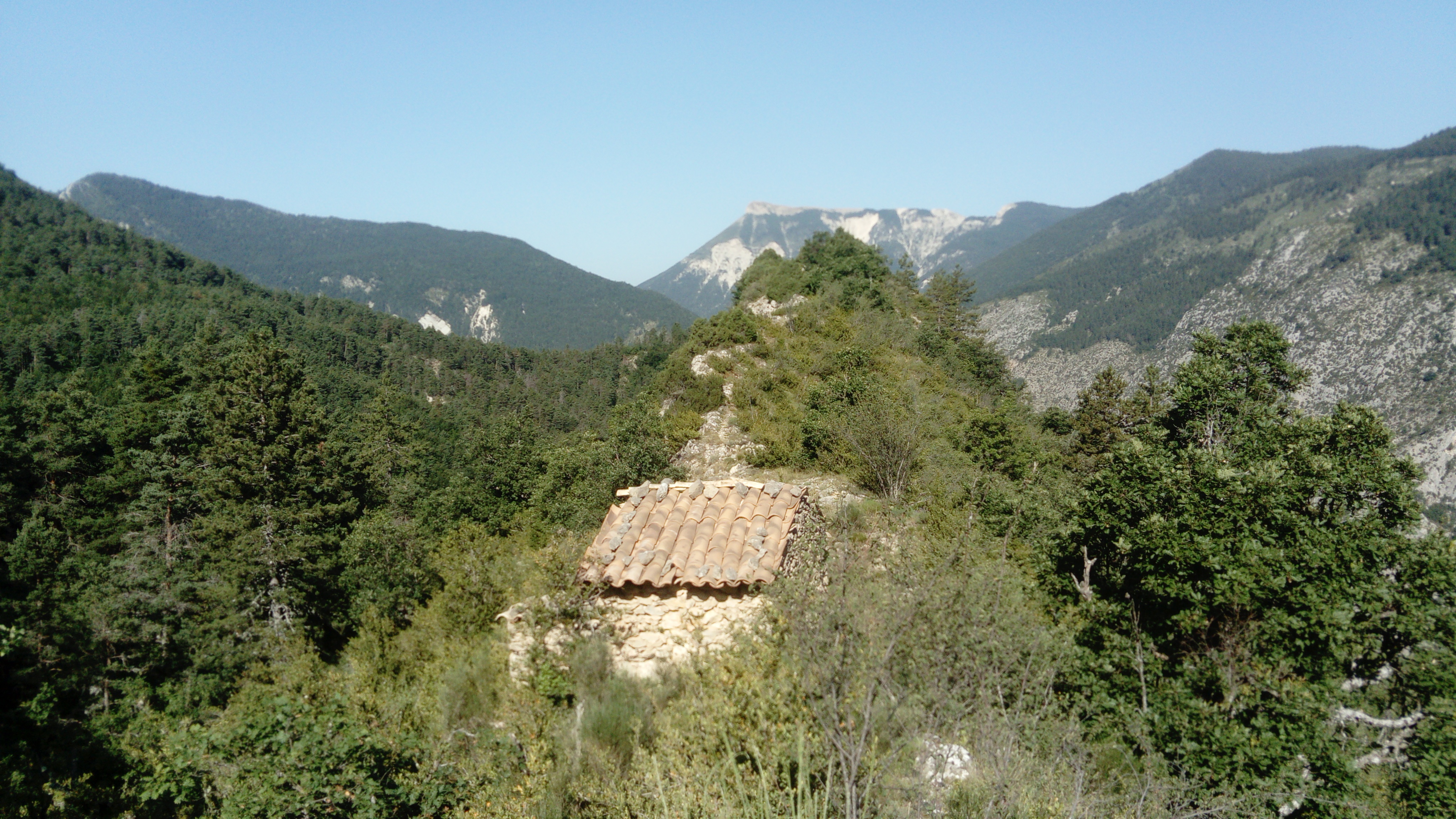
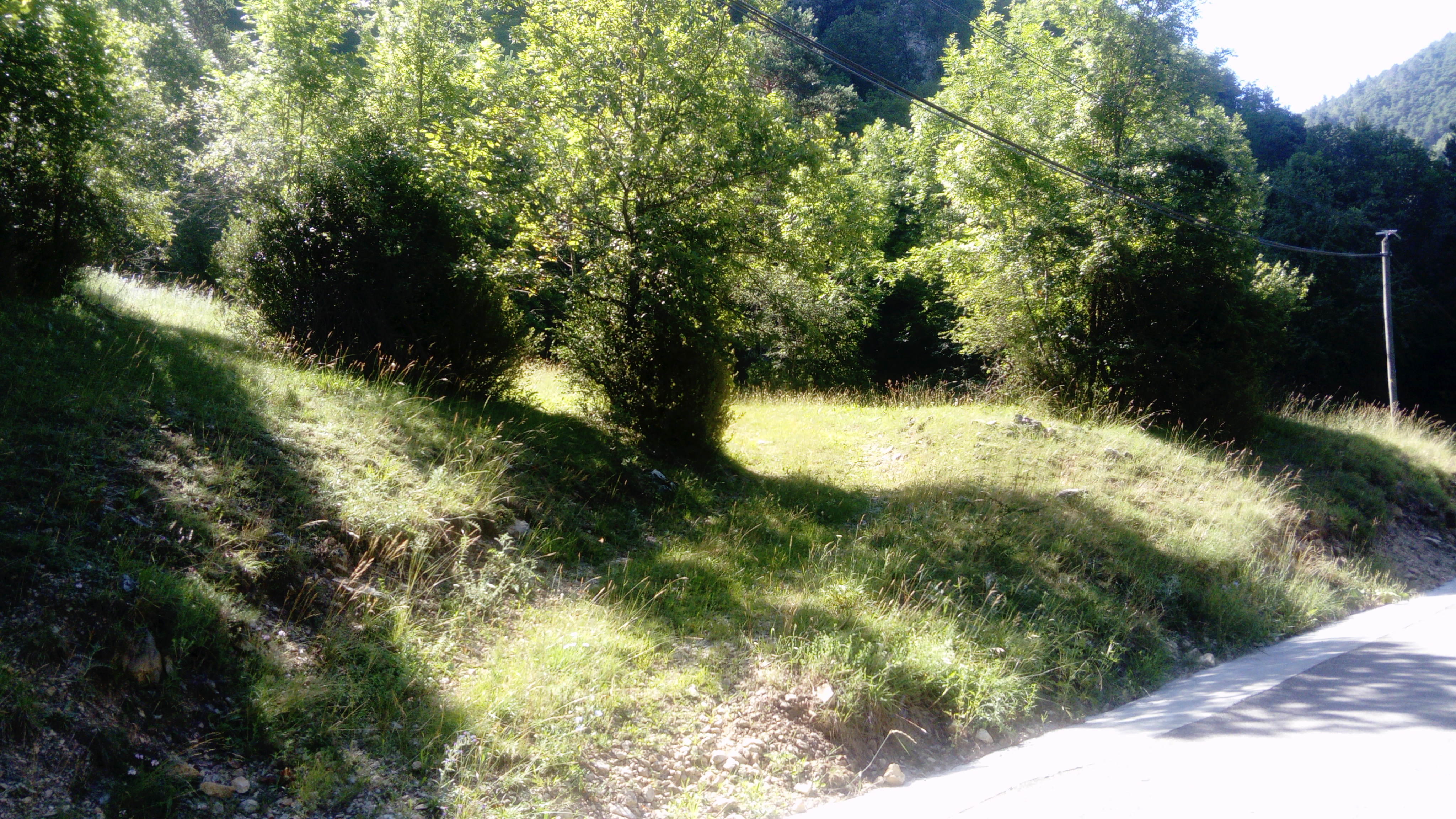
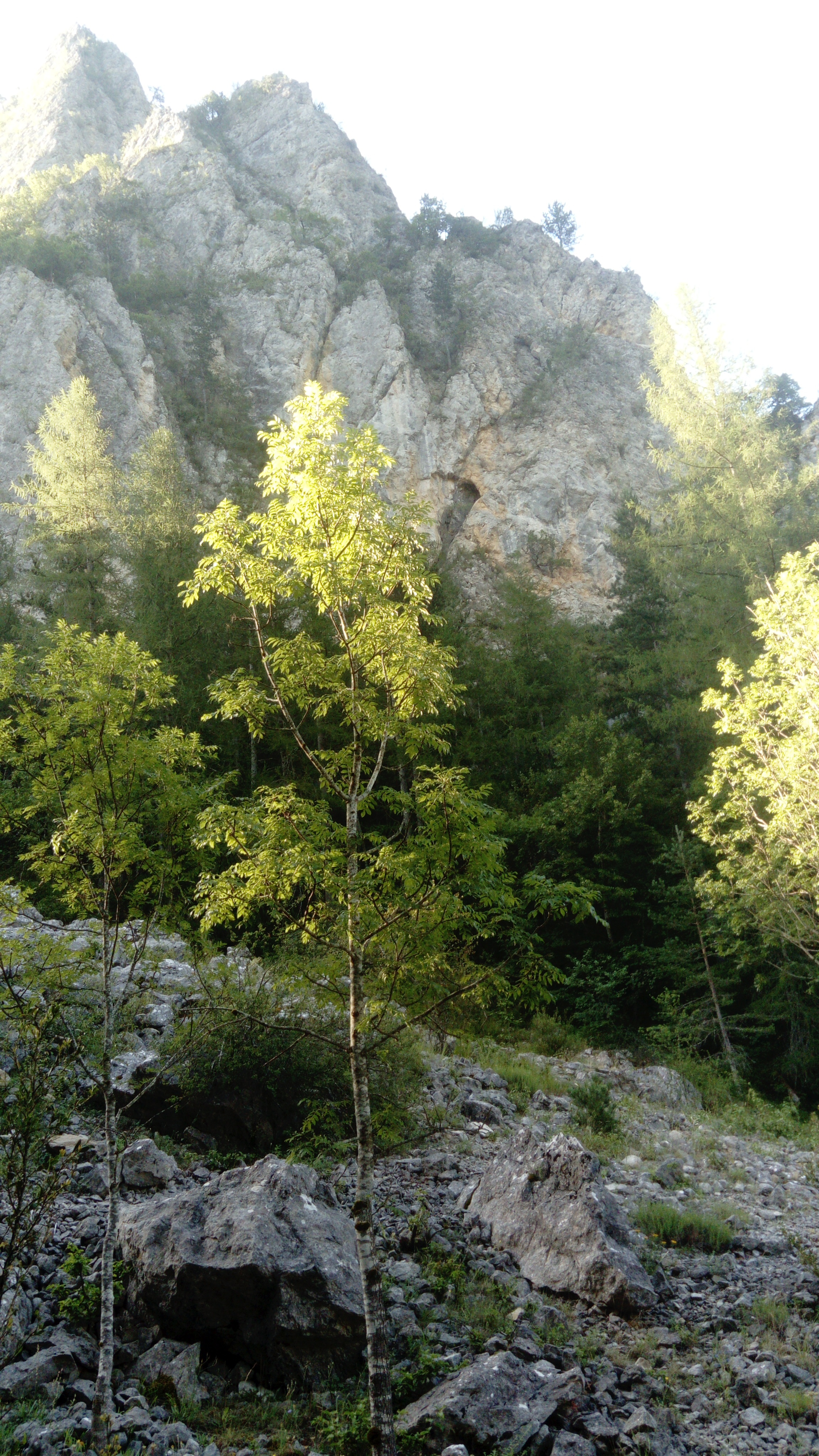
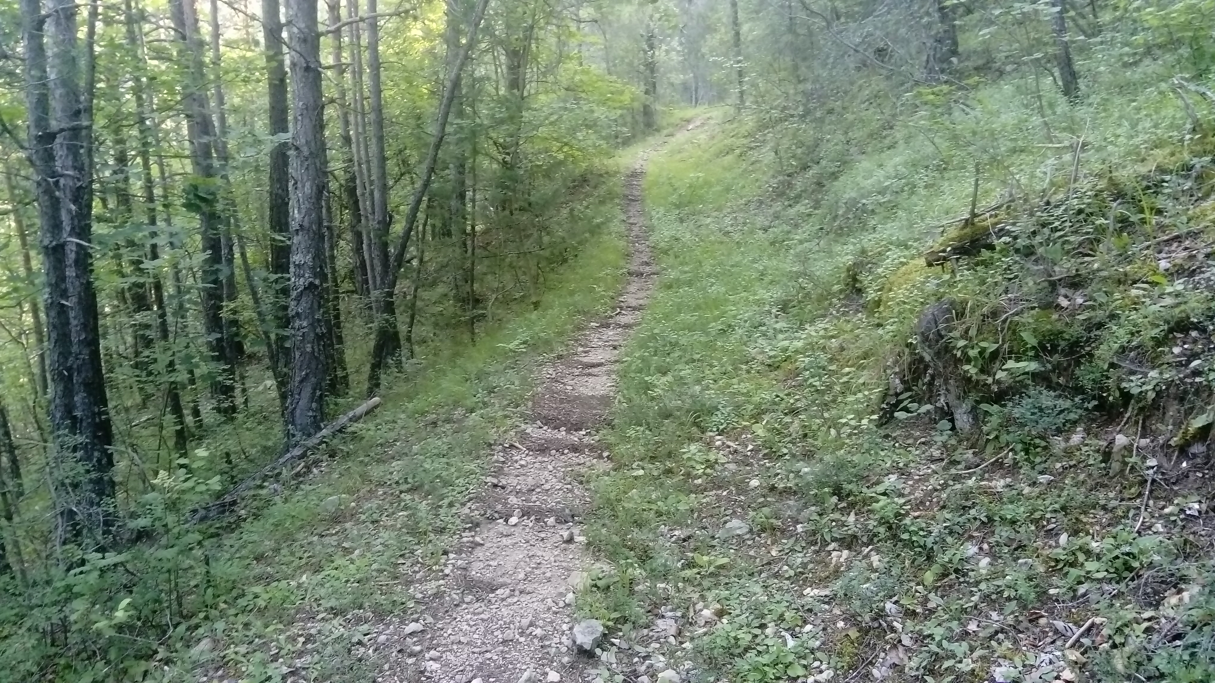
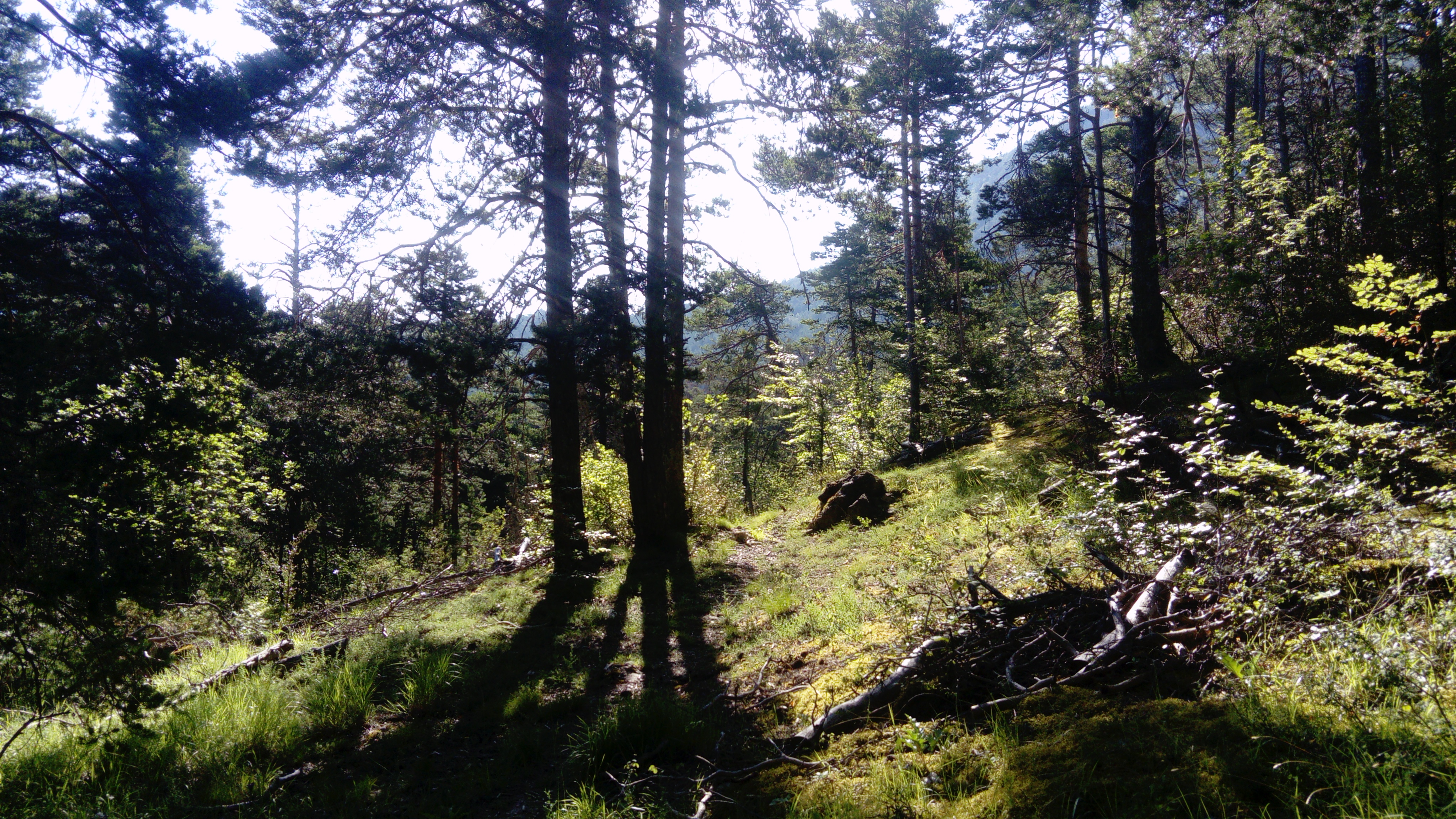

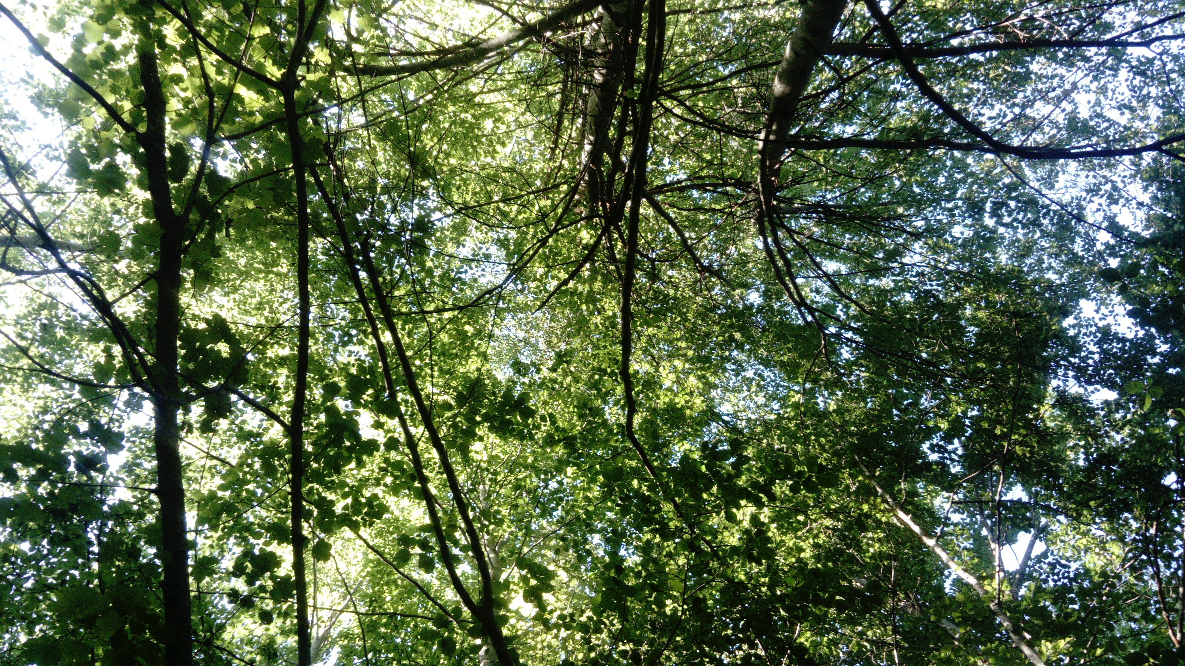
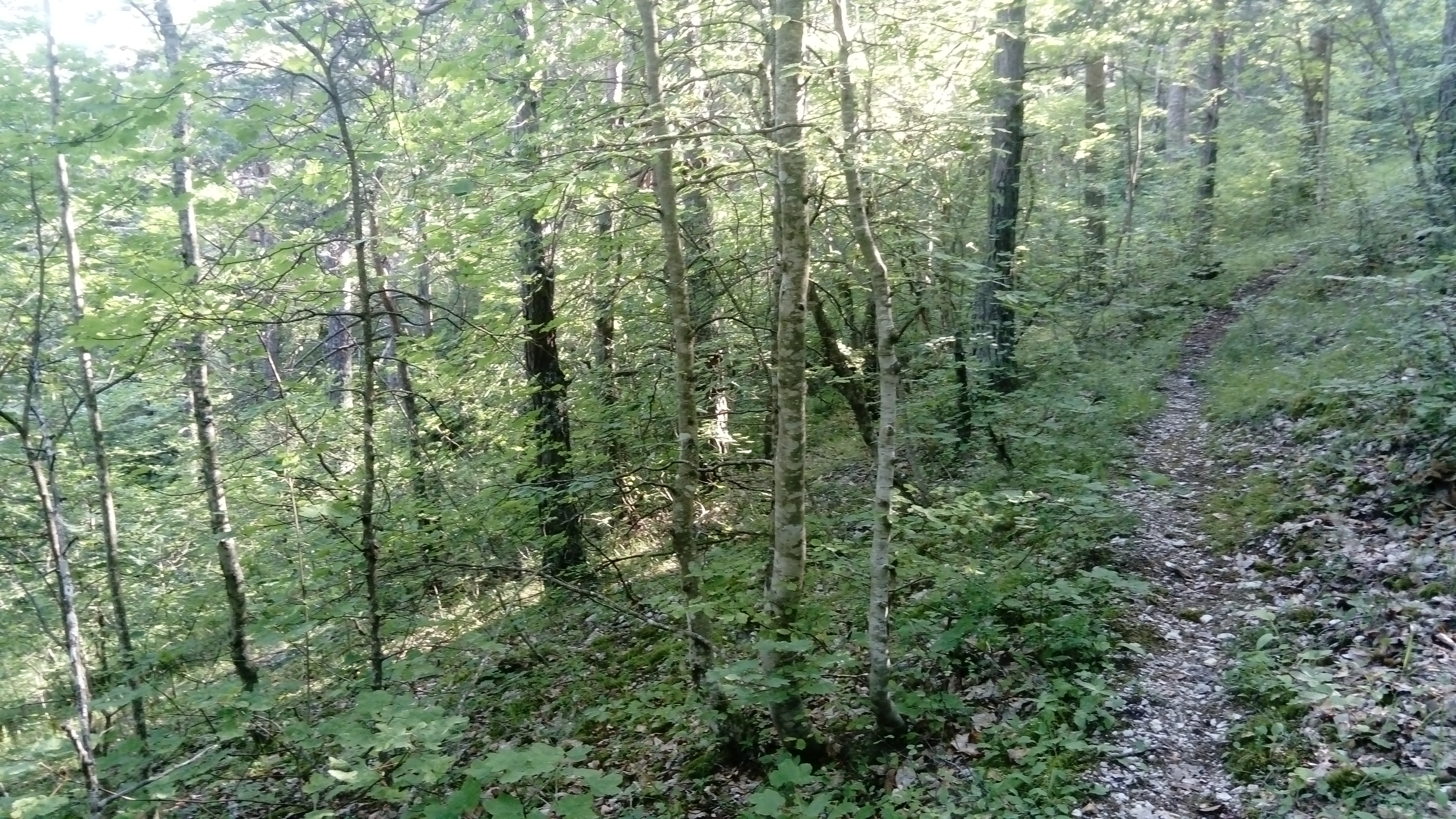
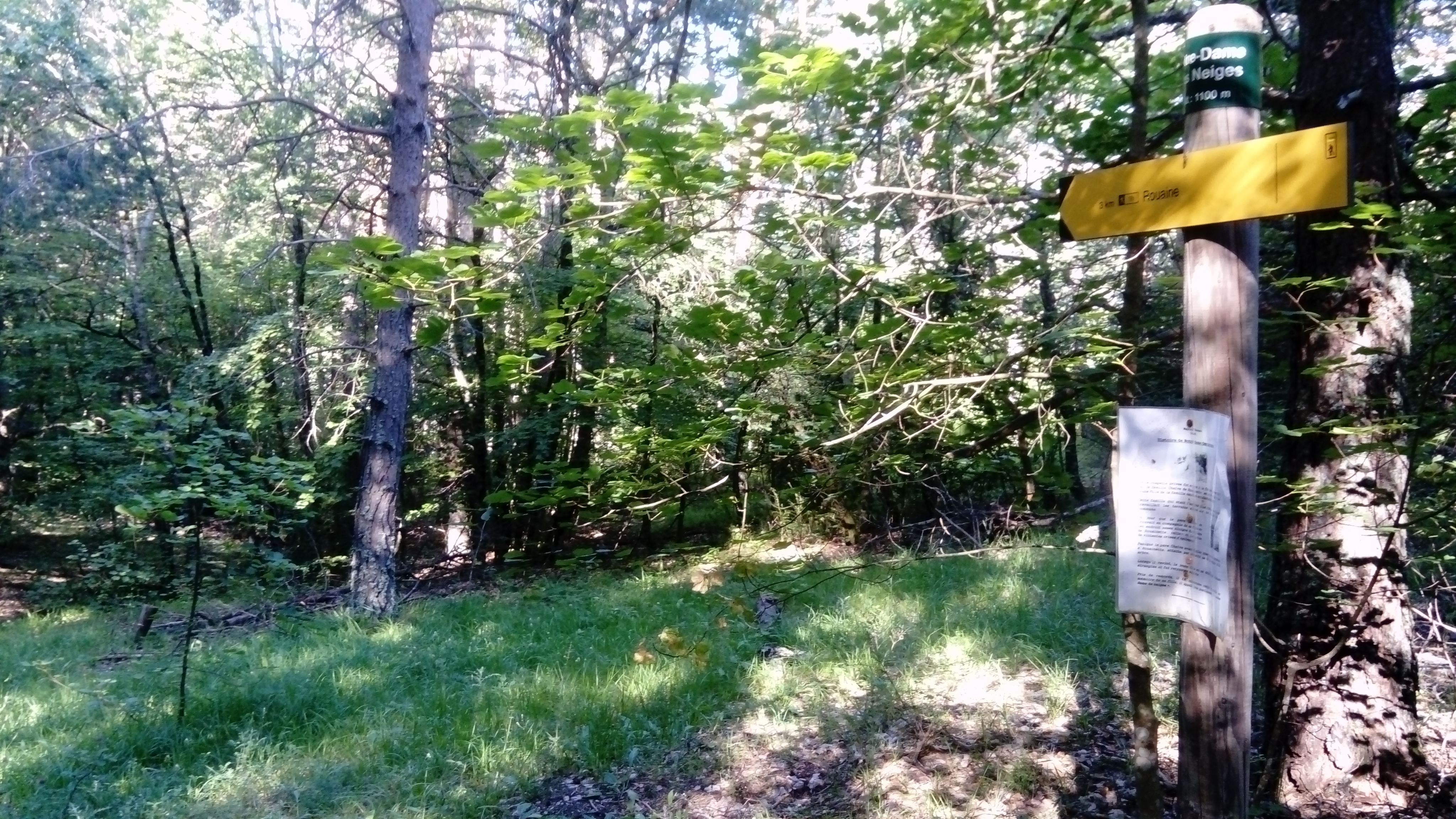
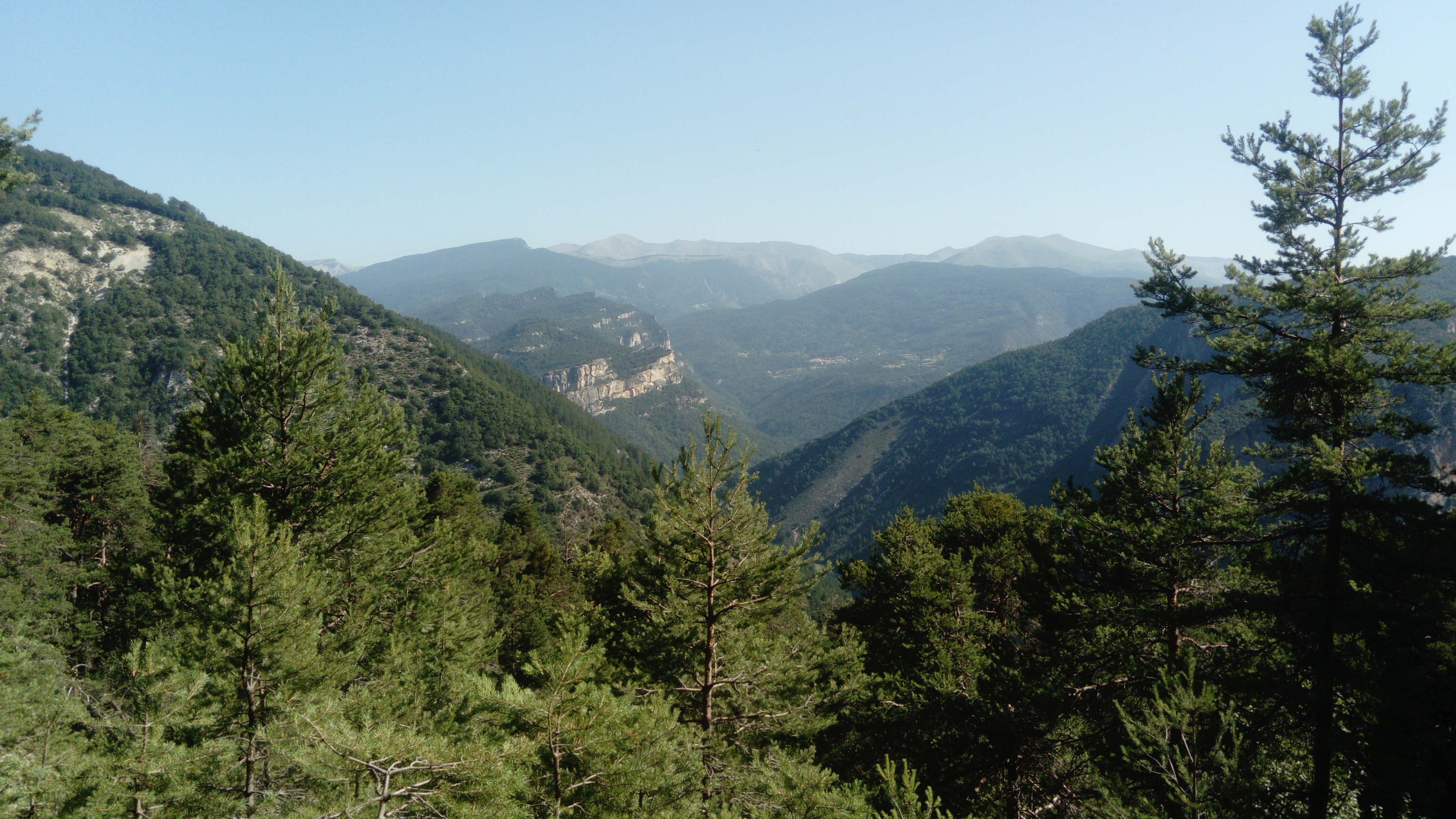
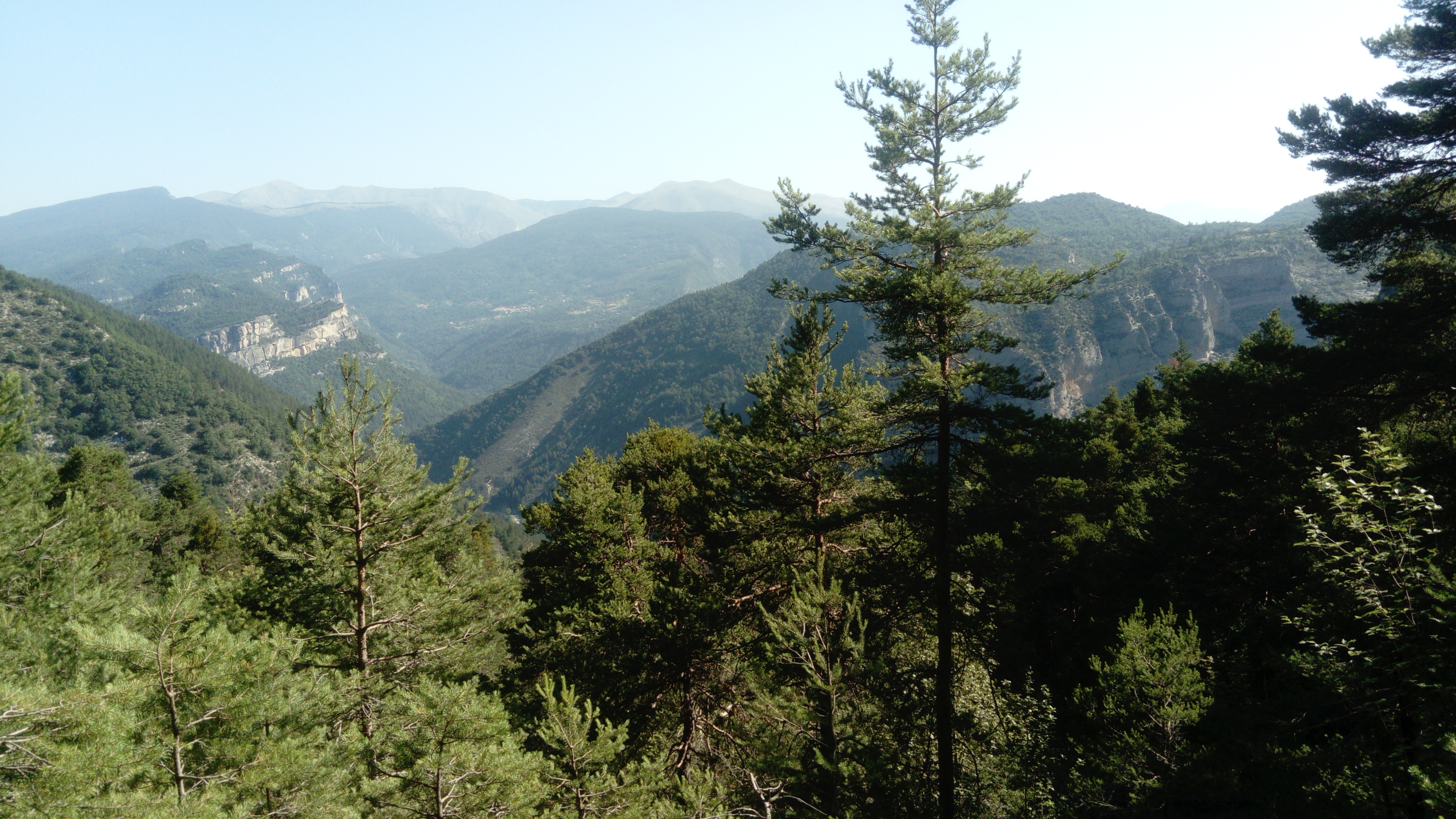
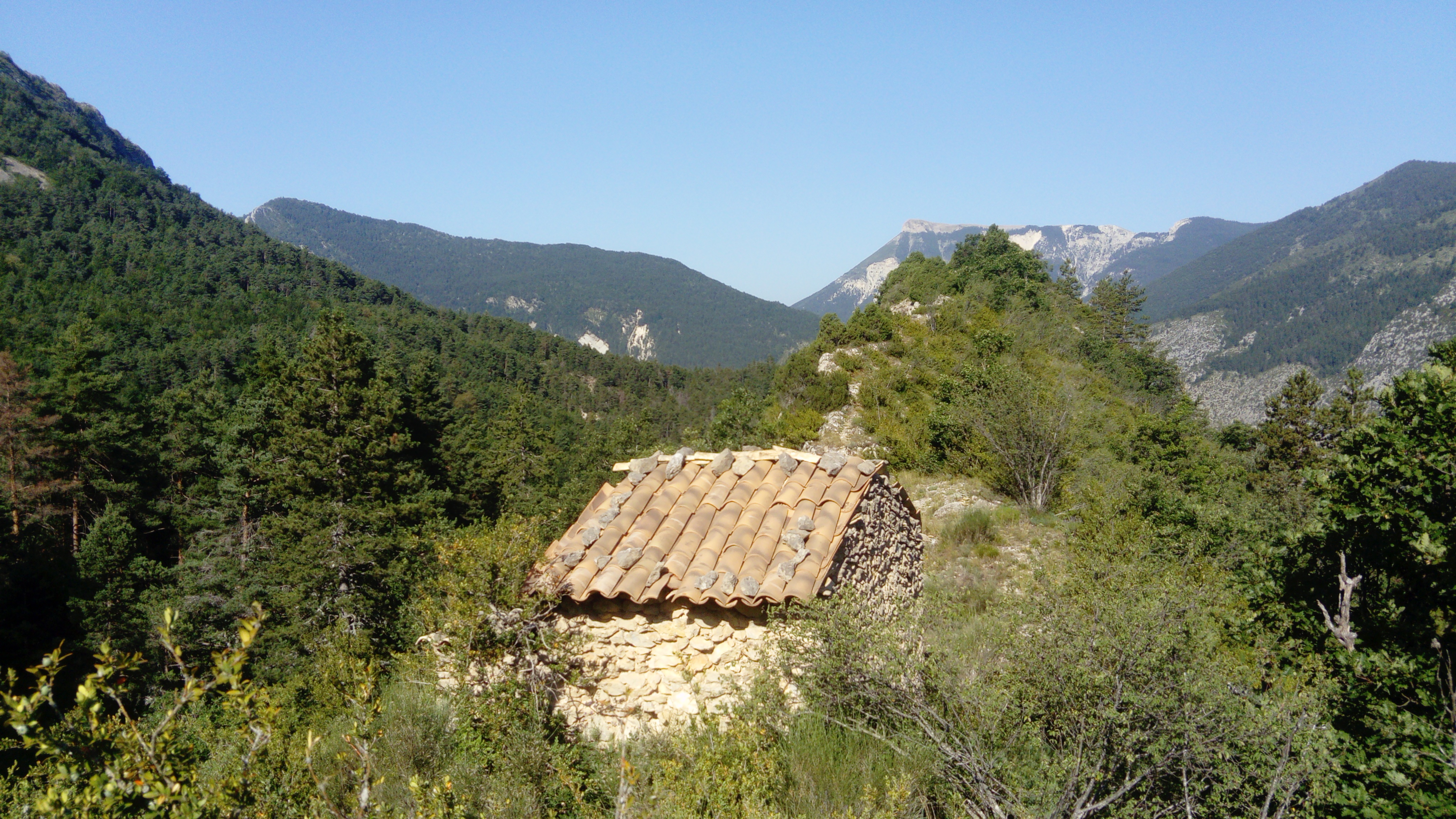
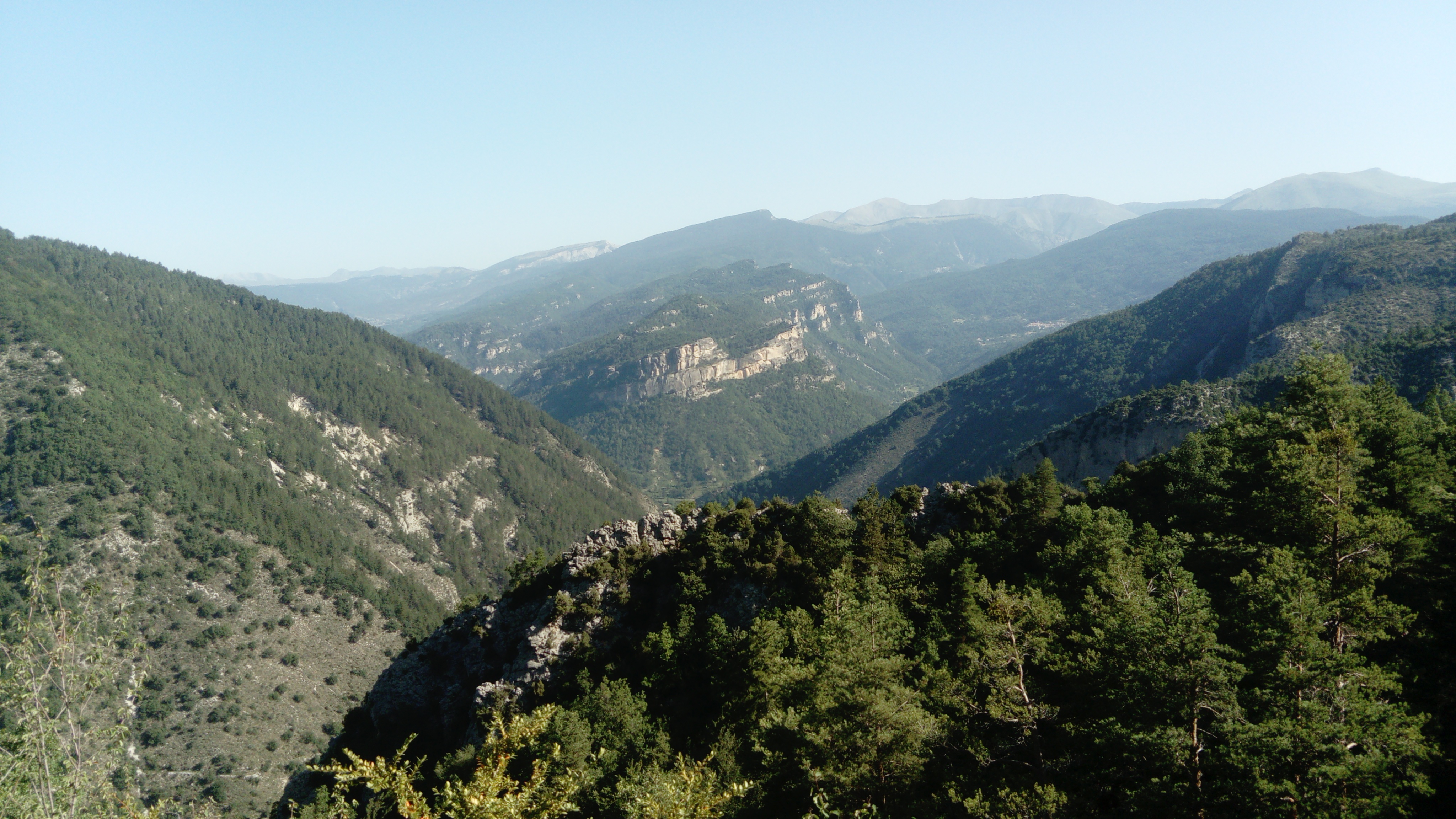
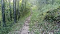
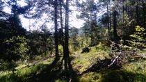
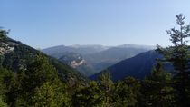
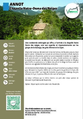
Take the street that leads down to the bottom of the hamlet of Rouaine all the way to the end, then follow the trail. You’ll come out onto the road below; turn right. After the fork toward Rouainette, leave the road and take the trail on the left just after the bridge. The climb up the northeast-facing valley is steady, shaded by pine trees. When you reach a small clearing, the trail levels off. It offers a panoramic view of the sandstone cliffs and the village of Braux before passing through a pleasant forest of beech and pine trees.
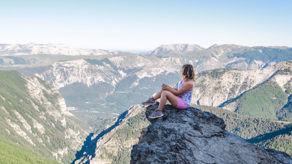
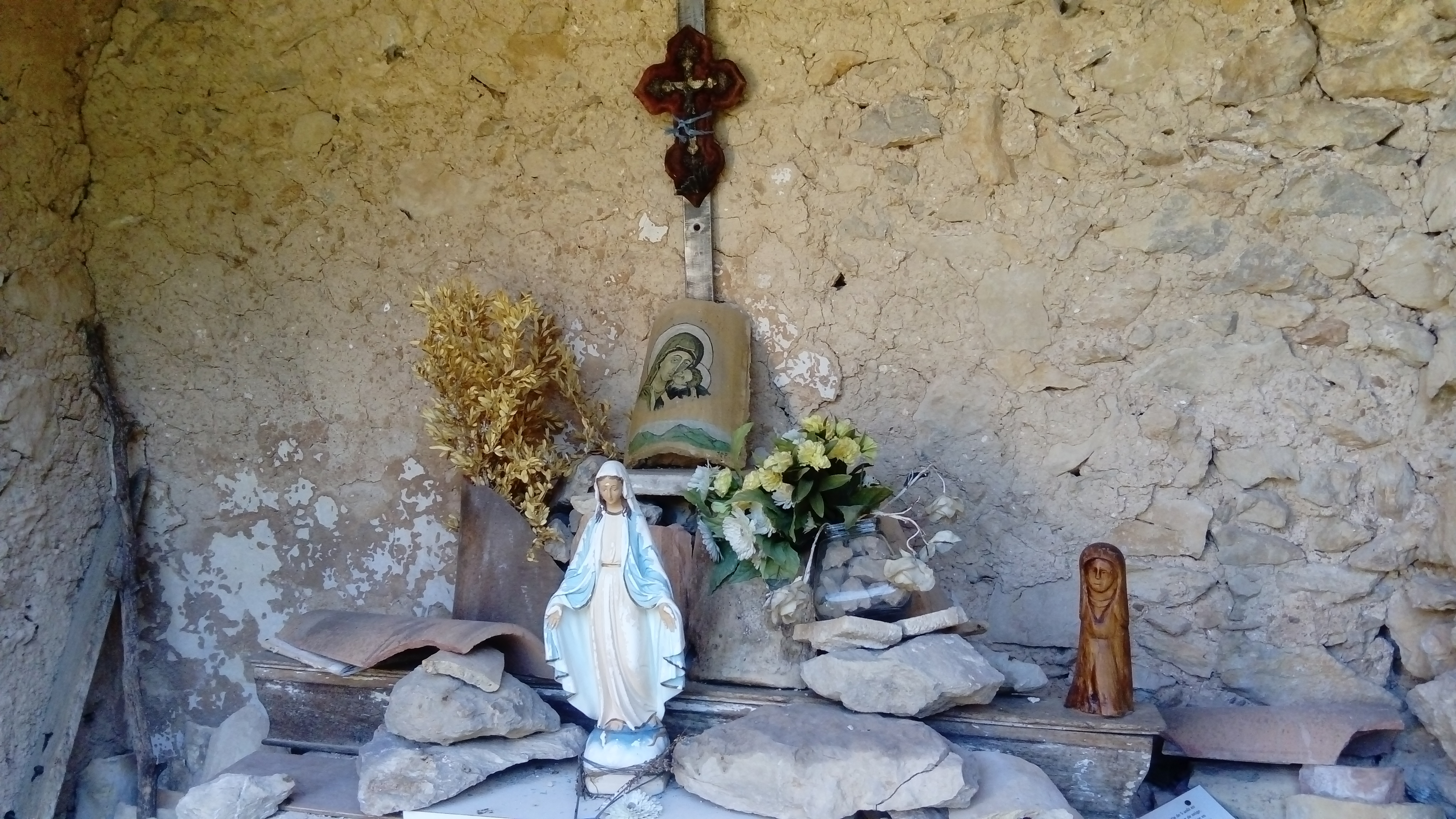
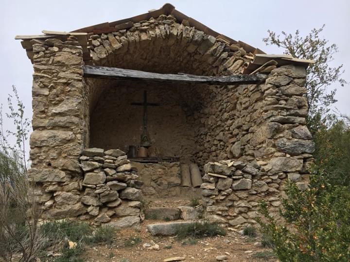
When you reach the “Notre Dame des Neiges” marker, continue along the trail for a few meters to discover the chapel. Built on the ridge, amid broom and thyme, it offers a 360° view of the Pic de Chamatte, the Galange Gorges, the Annot sandstone cliffs, the Coyer, the Educh Plateau, and the Saint-Jean Ravine.
The return trip follows the same route. A short detour allows you to explore the charming hamlet of Rouainette.
Option: Start from the D10, after the turnoff toward Rouainette.
-
Documents
GPX / KML files allow you to export the route of your hike to your GPS (or other navigation tool)
-
References
Cartographic : TOP 25 IGN 3542 OT and Verdon Tourisme map "21 hikes around Annot".
-
Services & Equipment
- PrestationService
- Pets welcome
Animaux : Accepted
-
Customer base
- Level bue - Medium