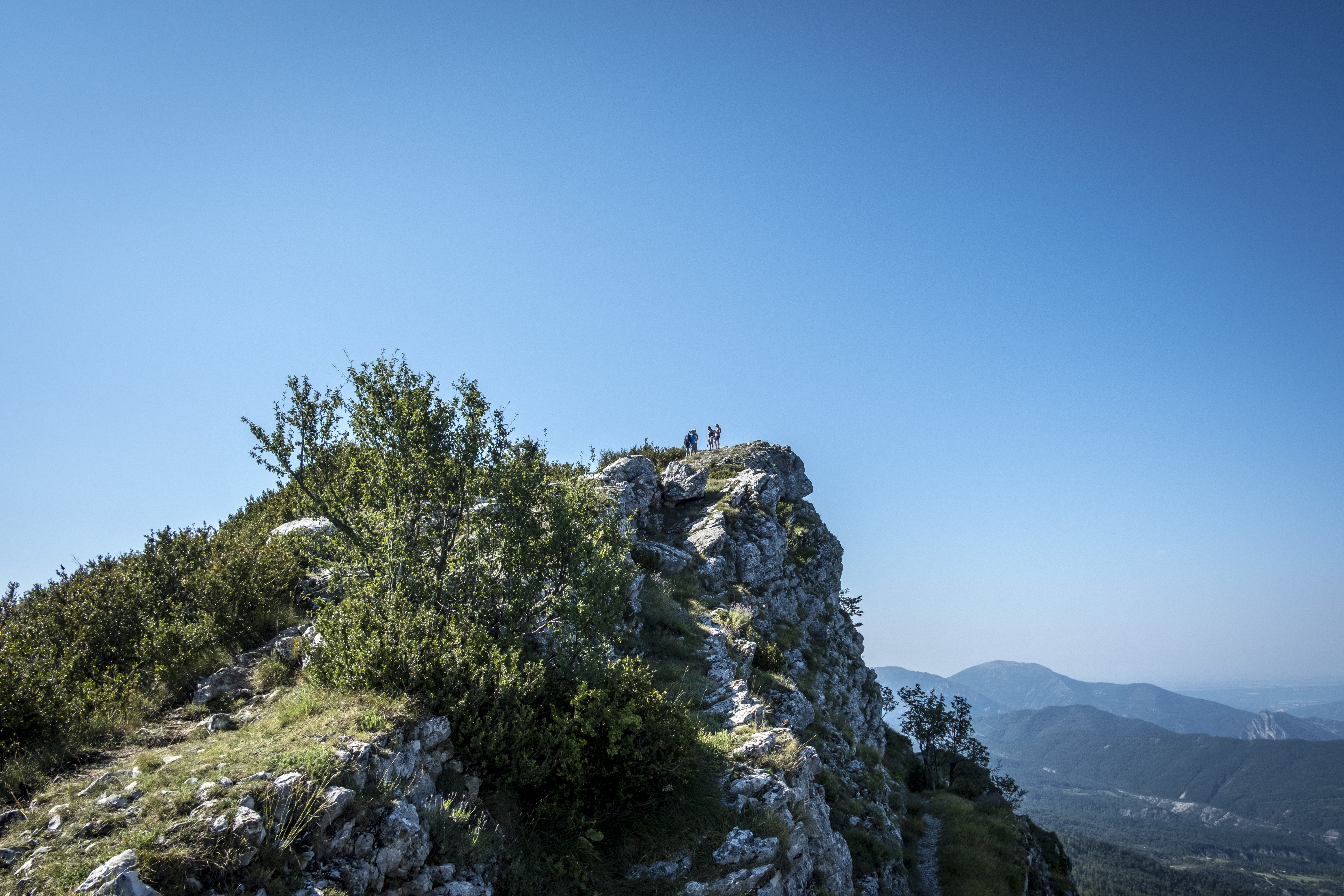
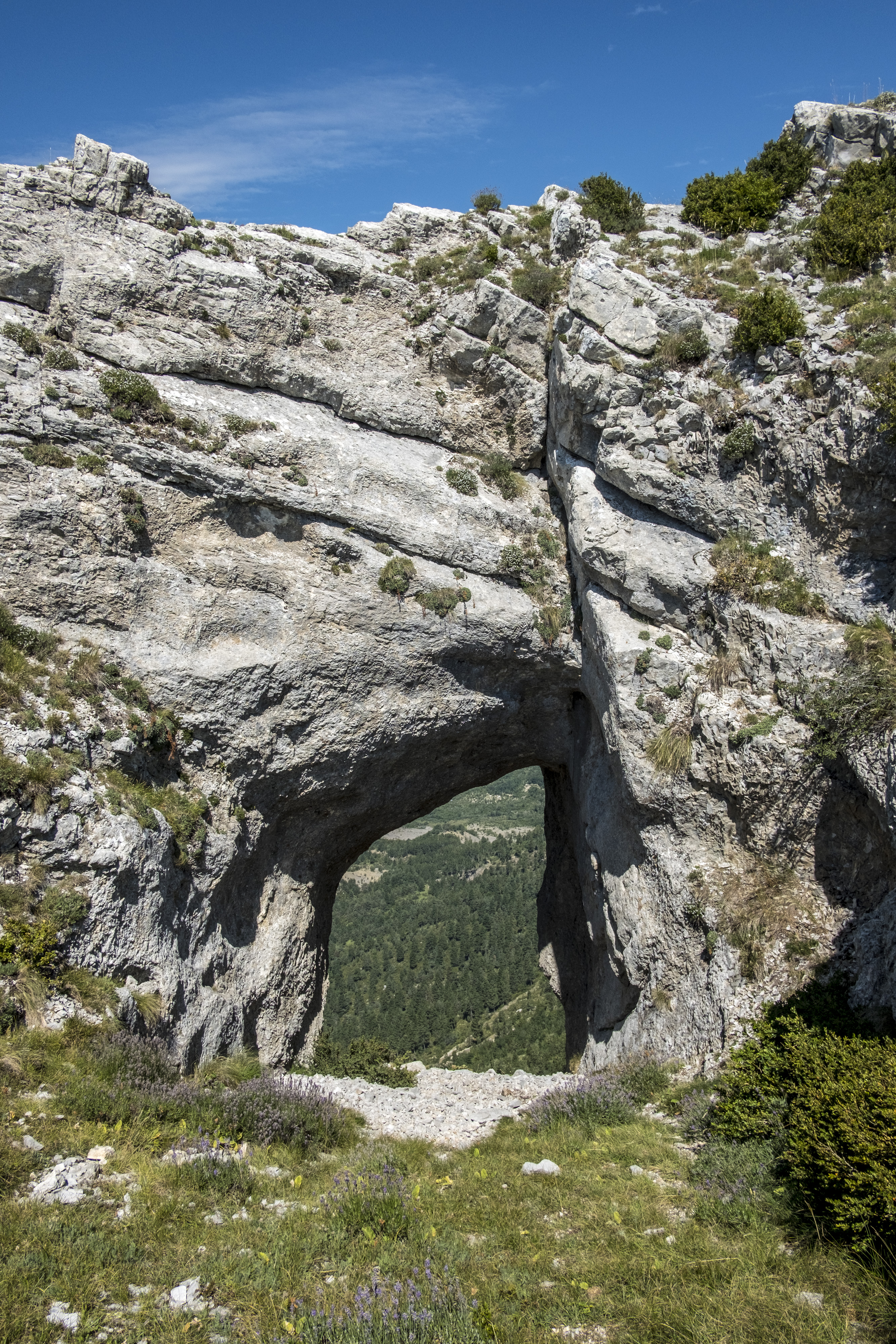
La Barre des Dourbes
EQUIPMENT Tartonne-en
GPX / KML files allow you to export the route of your hike to your GPS (or other navigation tool)
Cartographic : Set of 2 Verdon Tourisme maps around Saint André and Barrême and around the Verdon Gorge, from La Palud-sur-Verdon to Castellane.
Free of charge.
Animaux : Accepted without supplements