
Le Coulomp
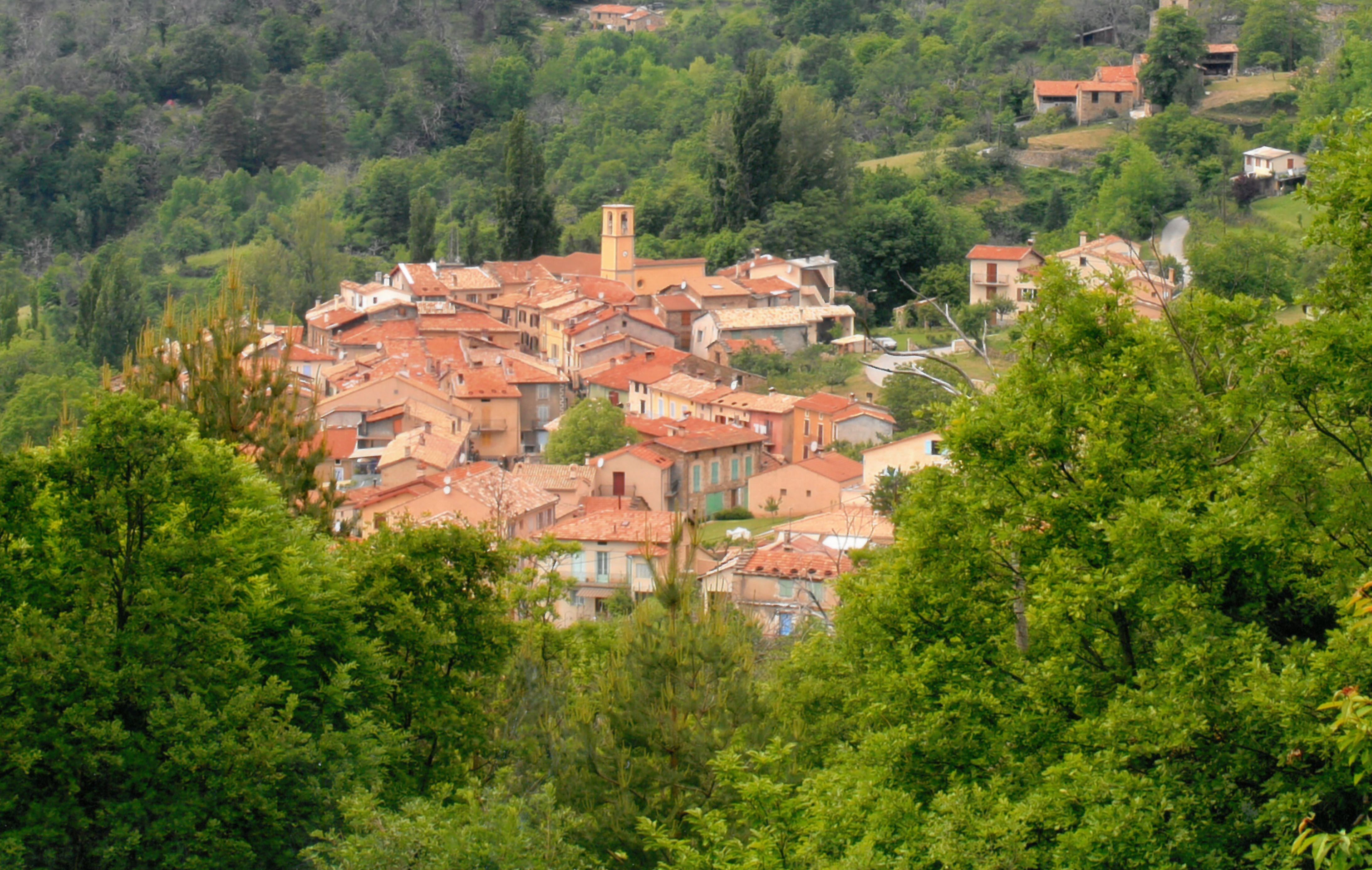
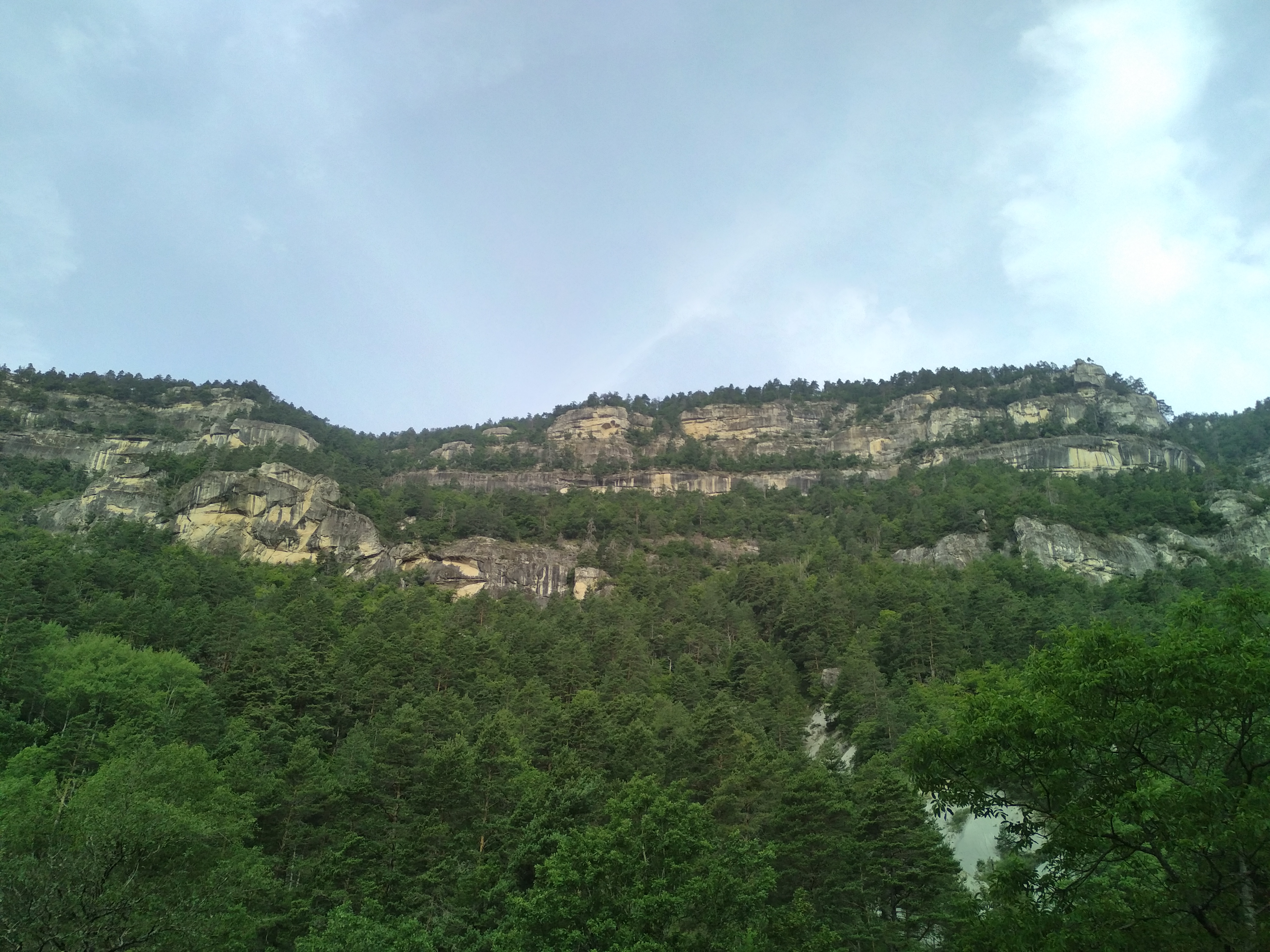
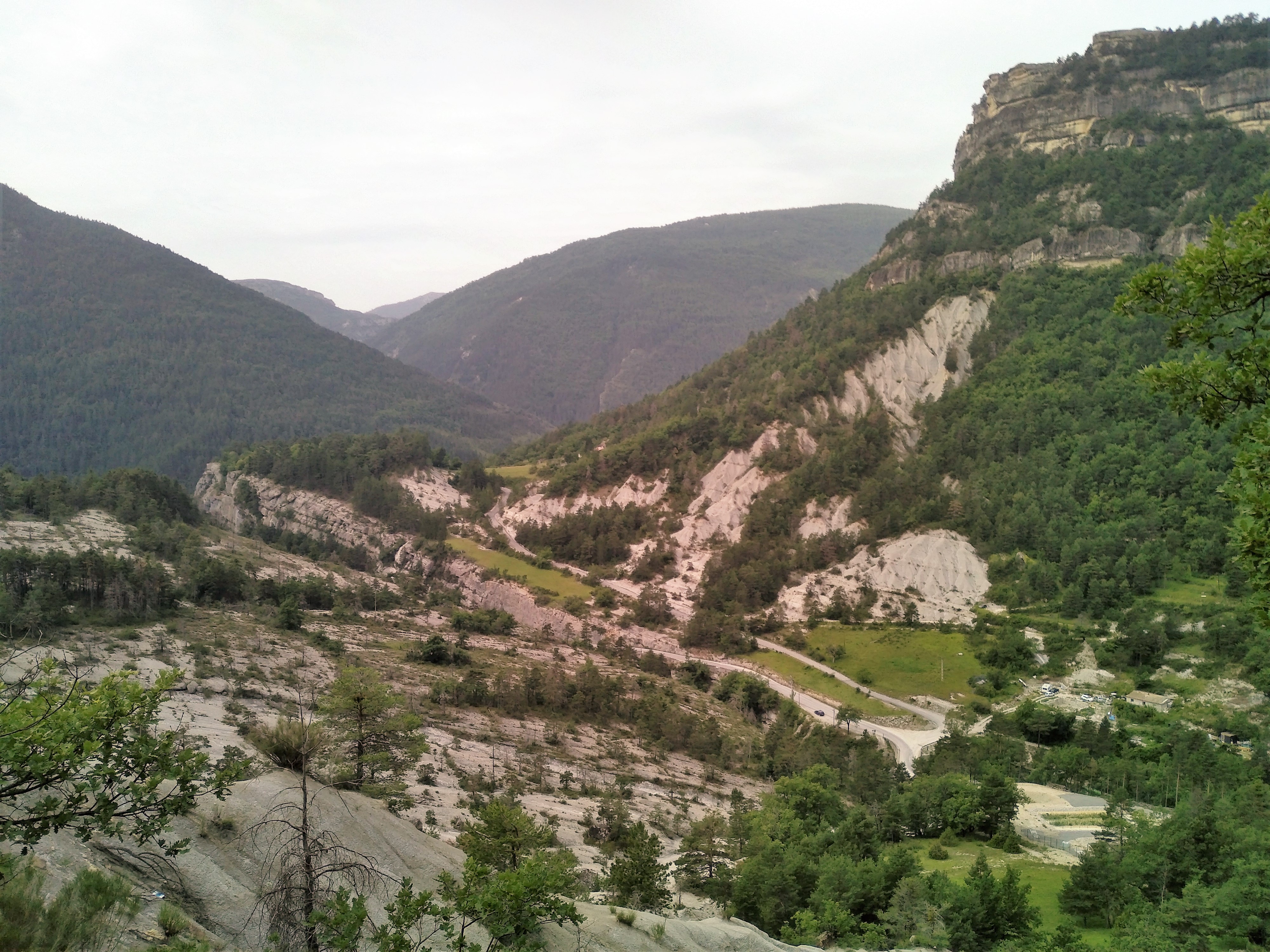
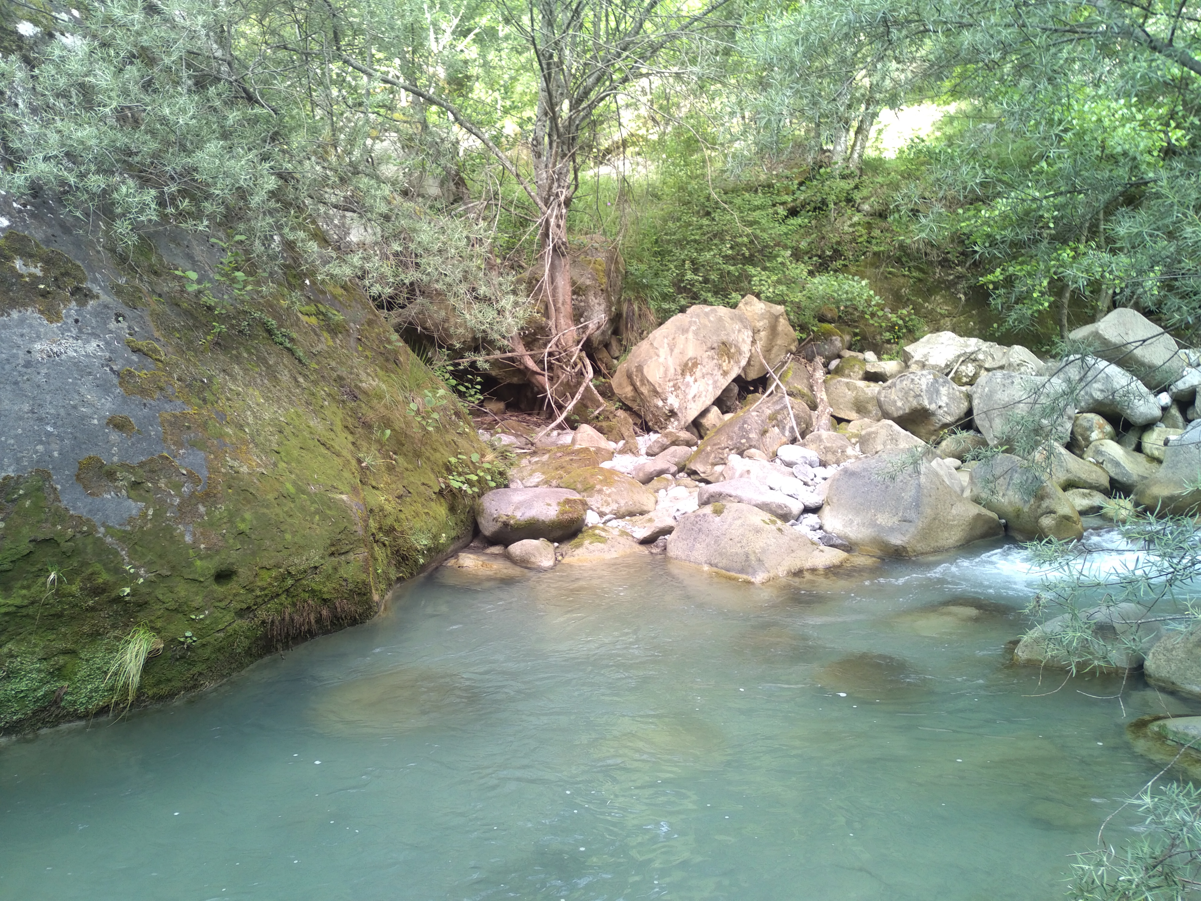
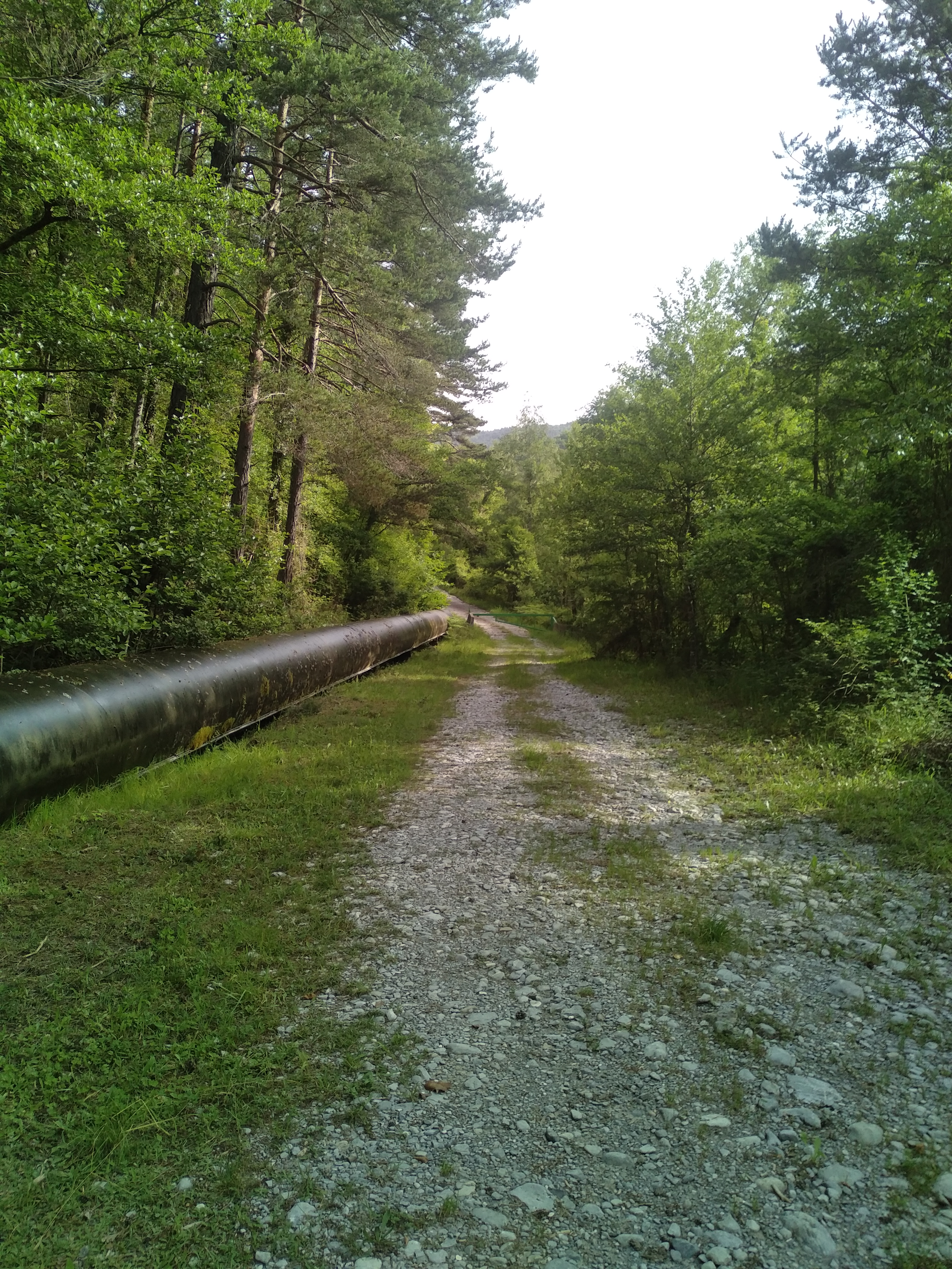
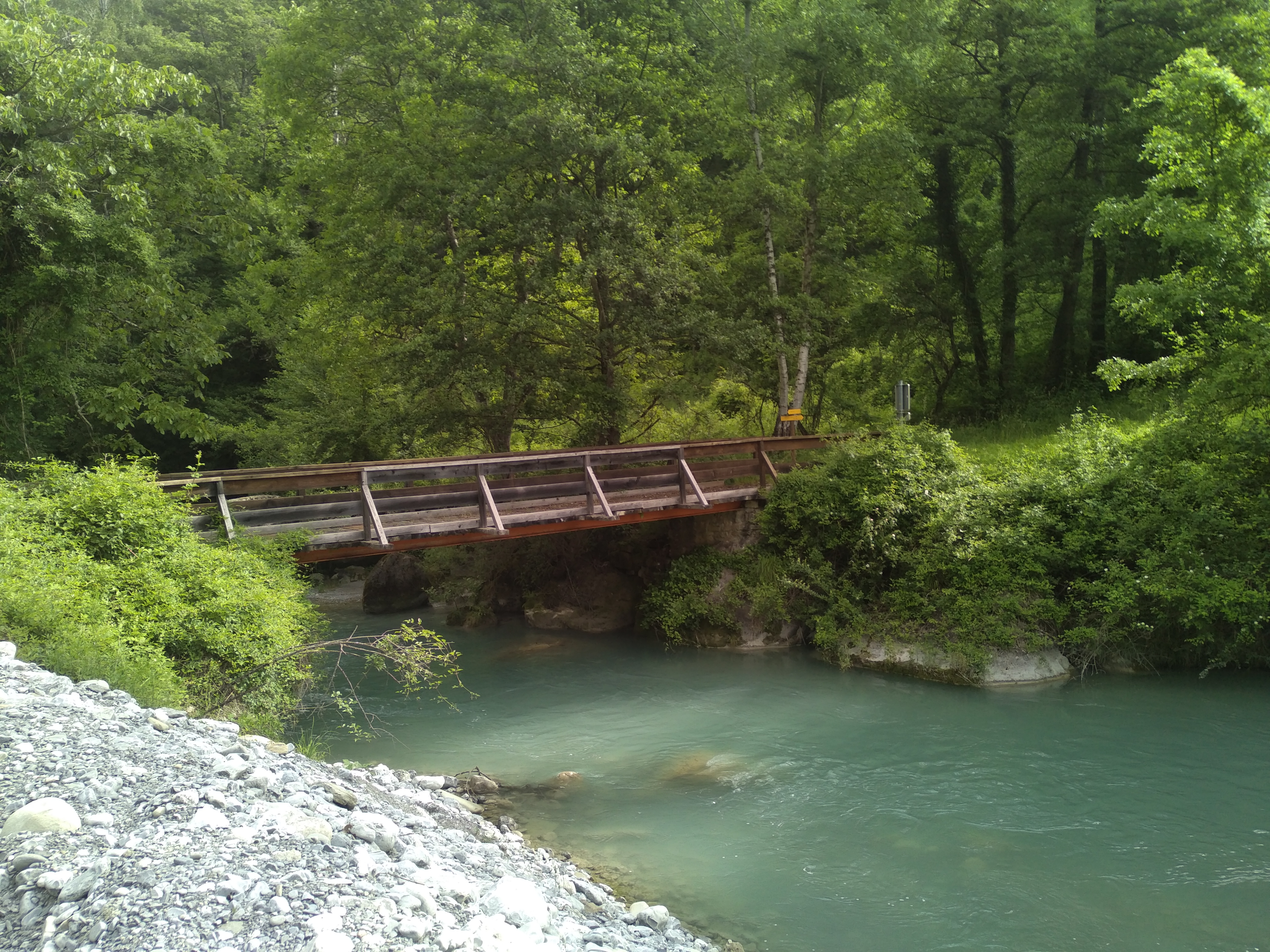
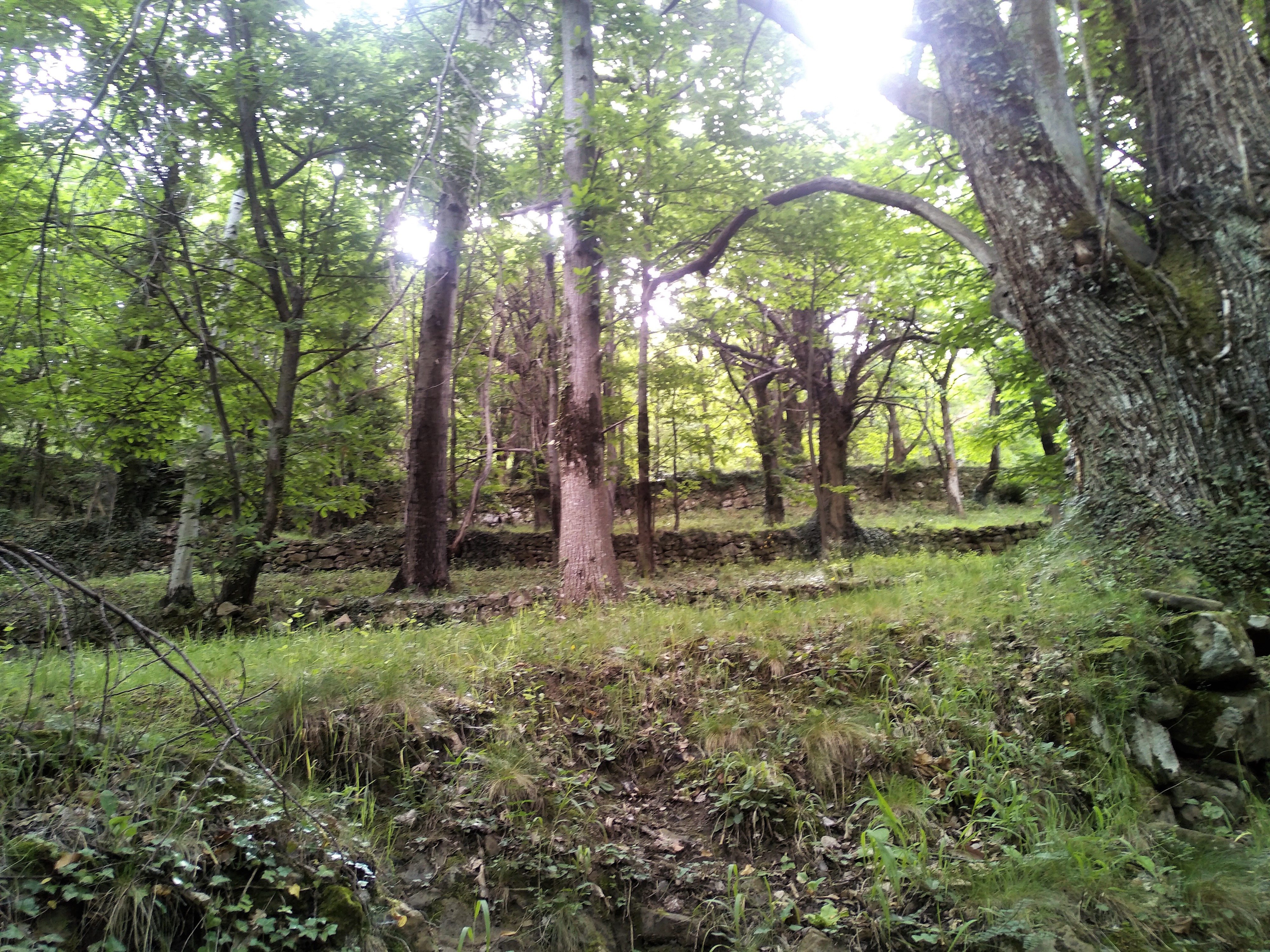
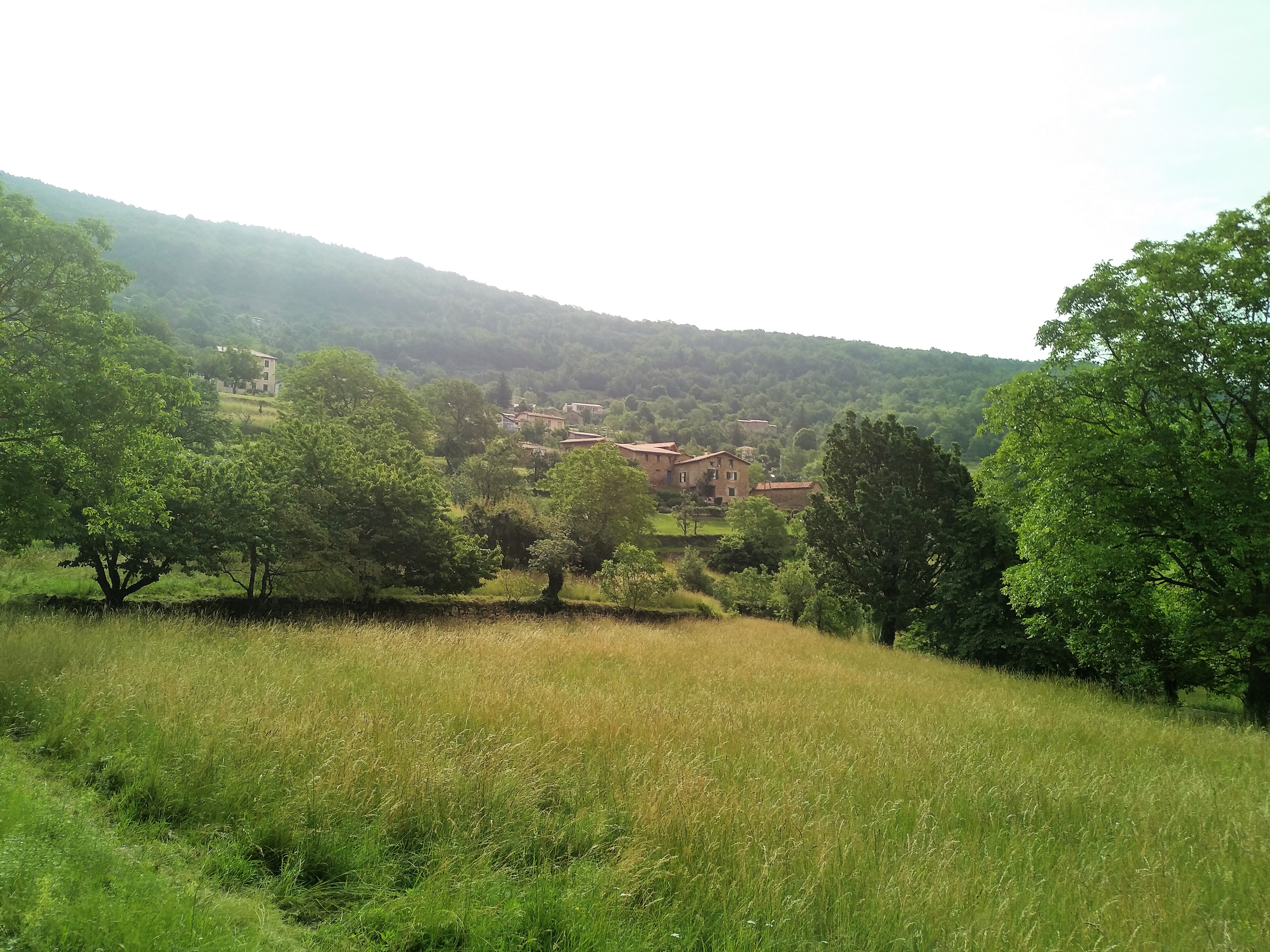
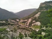
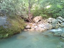
From the square, take Rue de la Parra for a few meters, then take the trail on the left. When you reach the “Route du Clot” sign, turn right onto the road that leads through the fields and passes by a few houses. Before the road ends, turn right between two houses. Follow this winding trail through a beautiful chestnut forest to the Gassigné Bridge, which spans the Coulomp River. Cross the bridge and turn left. The small reservoir feeds a hydroelectric plant; swimming is strictly prohibited.
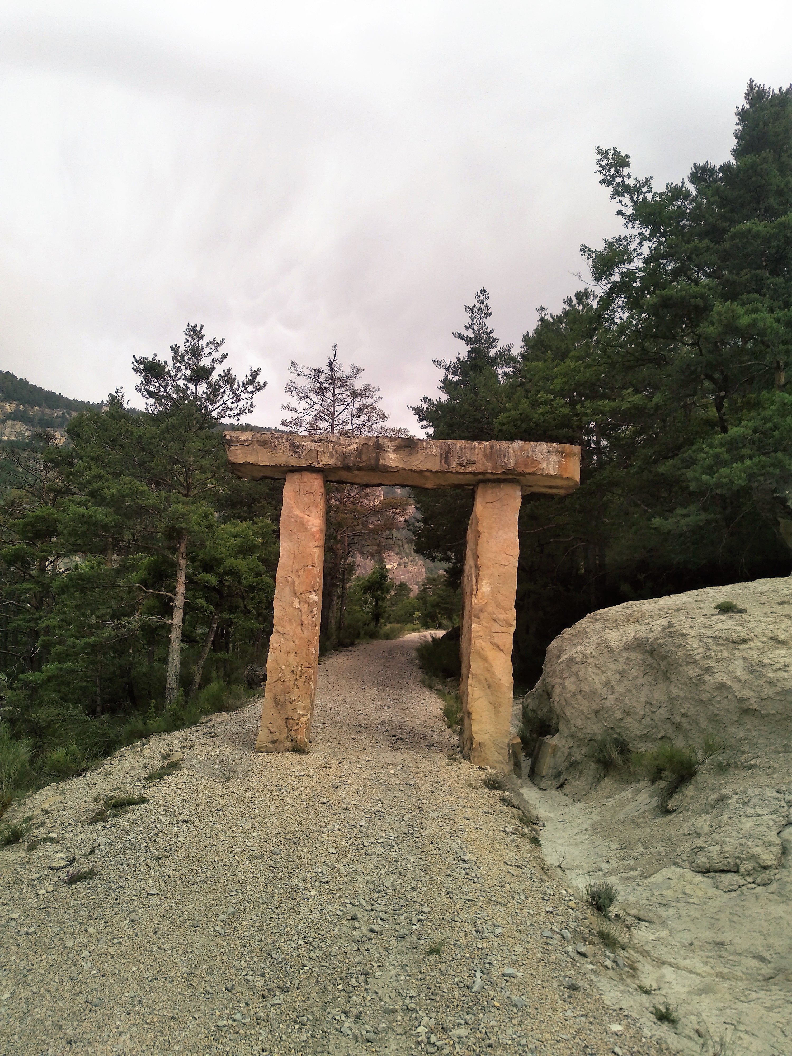
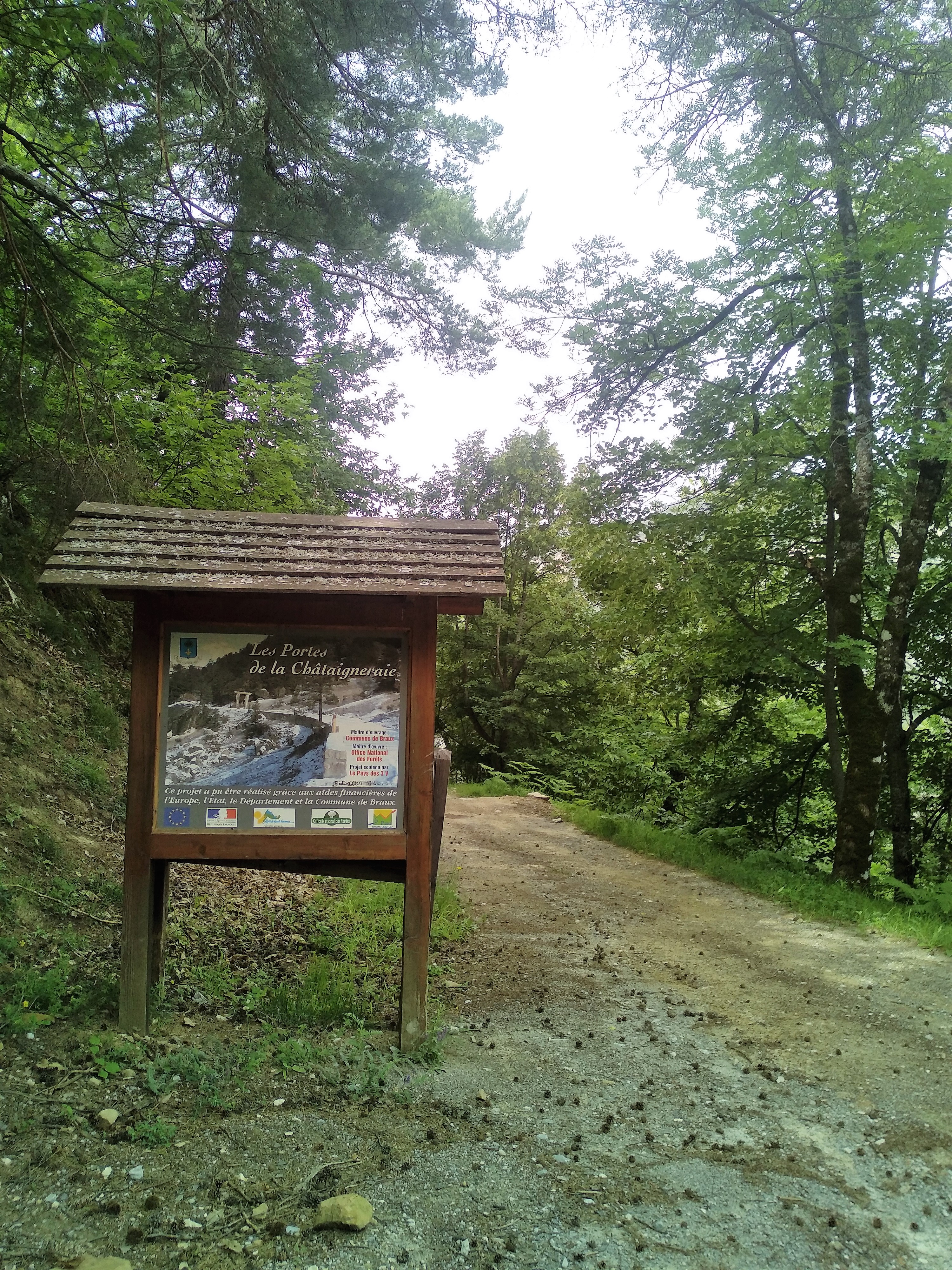
Head down the trail, first along the right bank and then the left bank of the Coulomp. When you reach the Gay Bridge, head up the Lare ravine toward an active quarry, then take the RD 110. Turn left onto the wide trail known as the “Porte de la Chataigneraie,” notable for its sandstone entrance arch. Follow this trail back up to the village.
Another possible starting point: D110, at the Pont du Gay.
Please note: The chestnut groves are private property; picking anything (chestnuts, mushrooms, etc.) is prohibited.
-
Documents
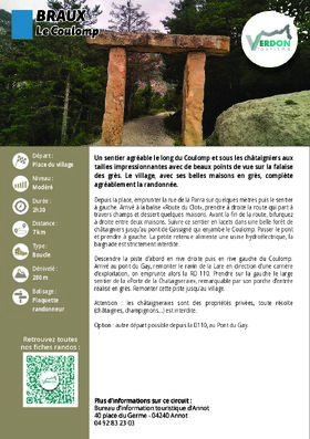
GPX / KML files allow you to export the route of your hike to your GPS (or other navigation tool)
-
References
Cartographic : 21 hikes around Annot" Verdon Tourism map
-
Services & Equipment
- PrestationService
- Pets welcome
Animaux : Accepted
-
Customer base
- Level bue - Medium