gres-dannot

Fire risks and vigilance

Every year during the summer season, access to certain exceptional forest areas—such as the majestic Verdon, the sublime Alpes de Haute-Provence, the picturesque Var, and the enchanting Alpes-Maritimes, is subject to strict regulations based on weather conditions and the high risk of wildfires. To preserve the ecological richness of these natural gems, enchanting walks, breathtaking hikes, as well as vehicle traffic and parking, are carefully regulated—or even restricted—in accordance with the prefectural decrees in effect in each department. This proactive conservation approach aims to ensure your safety while preserving the untamed beauty of these exceptional landscapes.

Fire Risk Maps for June 1 through September 30

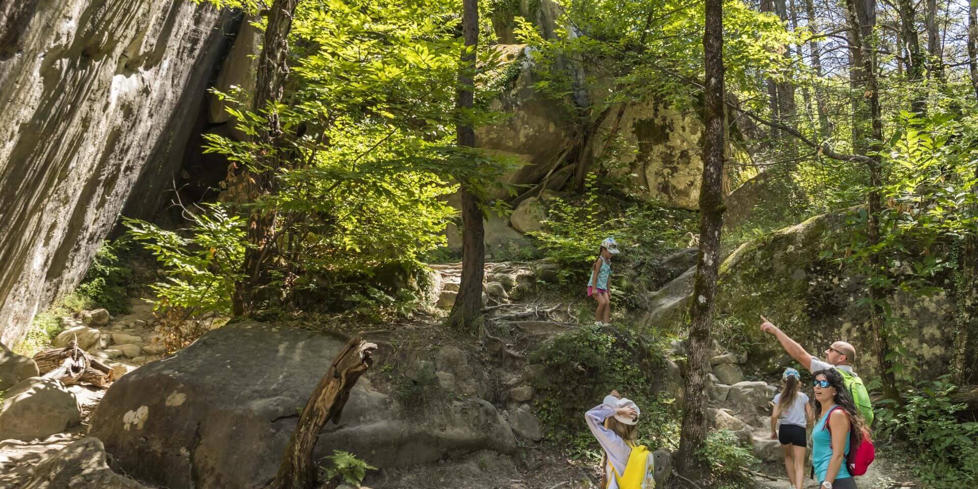
Le sentier des grès d'Annot

You are on vacation in one of the 41 municipalities of Alpes-Provence-Verdon, located in the Alpes-de-Haute-Provence.
You chose this region for its beauty and the variety of outdoor activities it offers.

It is essential to remain vigilant and strictly follow the regulations established by local authorities when visiting forested areas during the summer. Because weather conditions often create conditions conducive to wildfires, it is crucial to follow safety guidelines, avoid any activity that could generate sparks, and never discard cigarette butts or flammable waste. Preserving these fragile ecosystems depends on everyone’s responsibility, and by staying vigilant, you help preserve these natural wonders for future generations.
During these activities, you’ll likely explore and travel through the departments bordering the Var and the Alpes-Maritimes.

Please note that parts of the communes located south of the Verdon (in particular Castellane, Rougon, Esparron-de-Verdon, Montagnac-Montpezat, Quinson and Gréoux les Bains) are subject to Var regulations (dotted area on the Alpes-de-Haute-Provence map).

The maps are updated from June 1 to September 30 by the departmental fire departments.
£This does not mean that outside of these periods, risks do not exist or that we can neglect preventive measures.
Paper, trash, and other debris will still be around next spring and could help fires spread.

Thank you for helping to protect our natural environment year-round.
Alpes-de-Haute-Provence

The 6 Alpes-de-Haute-Provence massifs are :

  1. Middle Verdon
  2. Verdon-Ubaye
  3. Forcalquier-Entrevennes
  4. Lubéron-Valensole Plateau
  5. Pre-Alps of Digne
  6. La Motte-Turriers

Please note that the parts of municipalities located south of the Verdon (in particular Castellane, Rougon, Esparron-de-Verdon, Montagnac-Montpezat, Quinson, and Gréoux-les-Bains) are subject to the regulations of the Var department (the area shown with a dotted line on the map of the Alpes-de-Haute-Provence).

Alpes-Maritimes

In the Alpes-Maritimes, almost every commune is a “massif”.

Var

The 9 massifs of the Var (from near to far) :

  • Plateau de Canjuers
  • High Var
  • Center var
  • Sainte Baume
  • Massif de l’Estérel
  • Moors
  • Corniche des Maures
  • Mount Toulon
  • Iles d’Hyères

What do fire risk levels mean?

Fire hazards are classified by color, from green to red. Here’s what to do at each level:

Green: slight fire hazard, but caution is advised

  • No smoking
  • No lighting of fires
  • No wilderness camping
  • Collecting plants and animals prohibited
  • Garbage disposal prohibited
  • No throwing of flammable objects
  • Take care when walking through the massifs

Yellow: moderate fire risk, caution is advised

  • No smoking
  • No lighting of fires
  • No wilderness camping
  • Collecting plants and animals prohibited
  • Garbage disposal prohibited
  • No throwing of flammable objects
  • Take care when walking through the massifs
  • Work can be carried out in the forest provided that an appropriate safety system is in place.

Orange: severe fire risk, do not enter the mountain ranges

  • No smoking
  • No lighting of fires
  • No wilderness camping
  • Collecting plants and animals prohibited
  • Garbage disposal prohibited
  • No throwing of flammable objects
  • We advise against walking in the massifs
  • Forestry work prohibited except for agricultural, silvicultural or general interest work from 5am to 1pm.

Red: Very severe or Extreme fire risk

  • No smoking
  • No lighting of fires
  • No wilderness camping
  • Collecting plants and animals prohibited
  • Garbage disposal prohibited
  • No throwing of flammable objects
  • Walking in the massifs prohibited
  • No traffic on lanes marked with a BO sign
  • Use of shredders, brushcutters, chain saws and work on metal prohibited