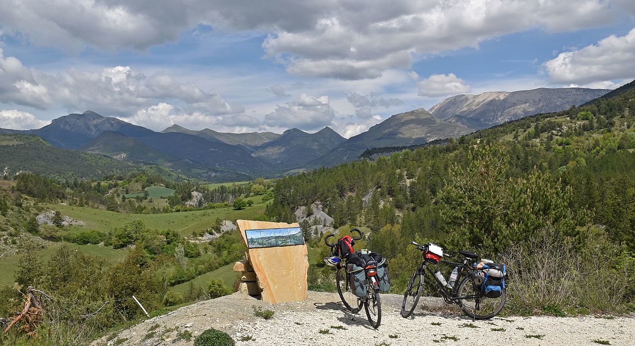
Boucle des Hautes Vallées
72 km
Loop
Cycle
6h
Hard
1062m
D+ 1062m / D- 1062m
1263m
A cycle-touring route that takes you between the massifs of the upper and middle Verdon, from Thorame-Haute to Tartonne, via Saint-André-les-Alpes and Moriez.
There are many hamlets to discover in the heart of these secret valleys, with landscapes marked by the seasons.
-
Documents
GPX / KML files allow you to export the route of your hike to your GPS (or other navigation tool)
-
Type of land
- Hard coating (tar, cement, flooring)
-
References
Cartographic : IGN hiking map n°3541 OT Annot St-André-les-Alpes PNR du Verdon
Guidebooks : Le Verdon à Vélo" guide Cycloguide 04 - The Alpes de Haute-Provence by bike
-
Prices
Free access.
-
Environment
- Station district
- Close to a public transportation
- Village centre
- Isolated
-
Customer base
- Cyclists
- Level red – hard