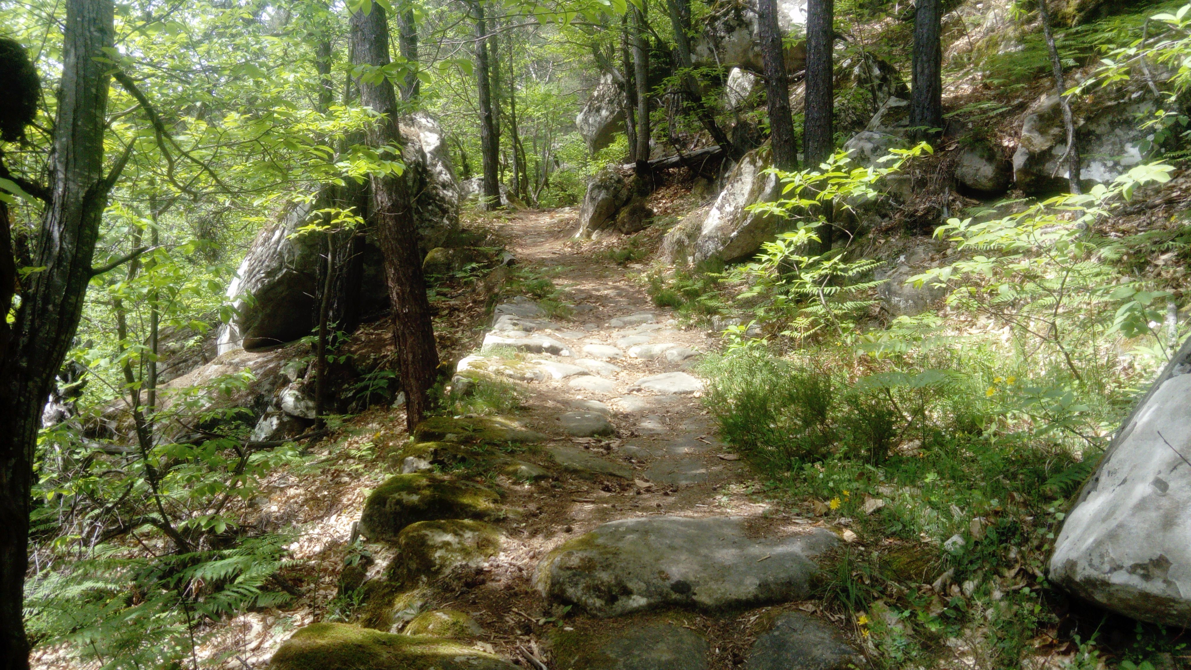
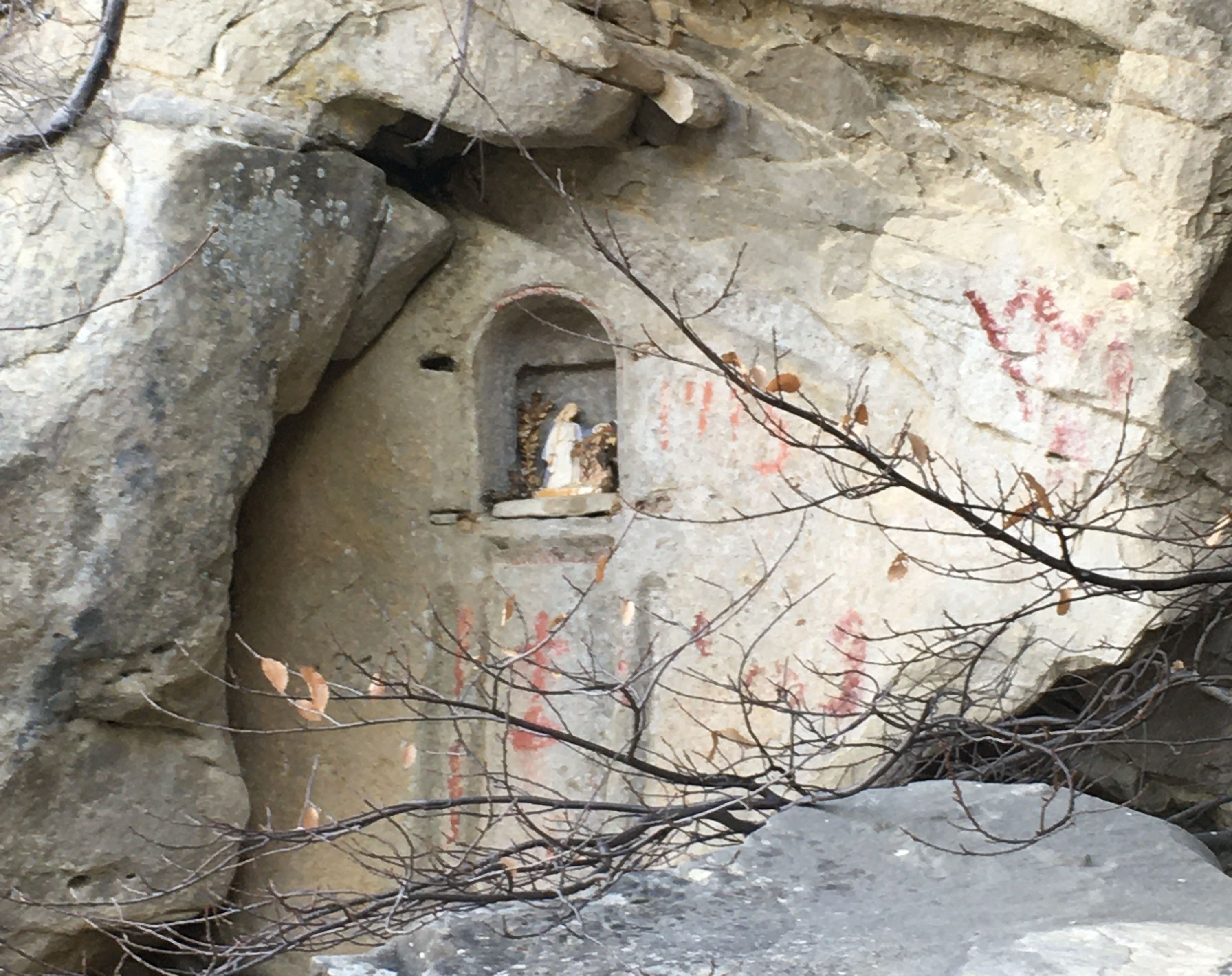
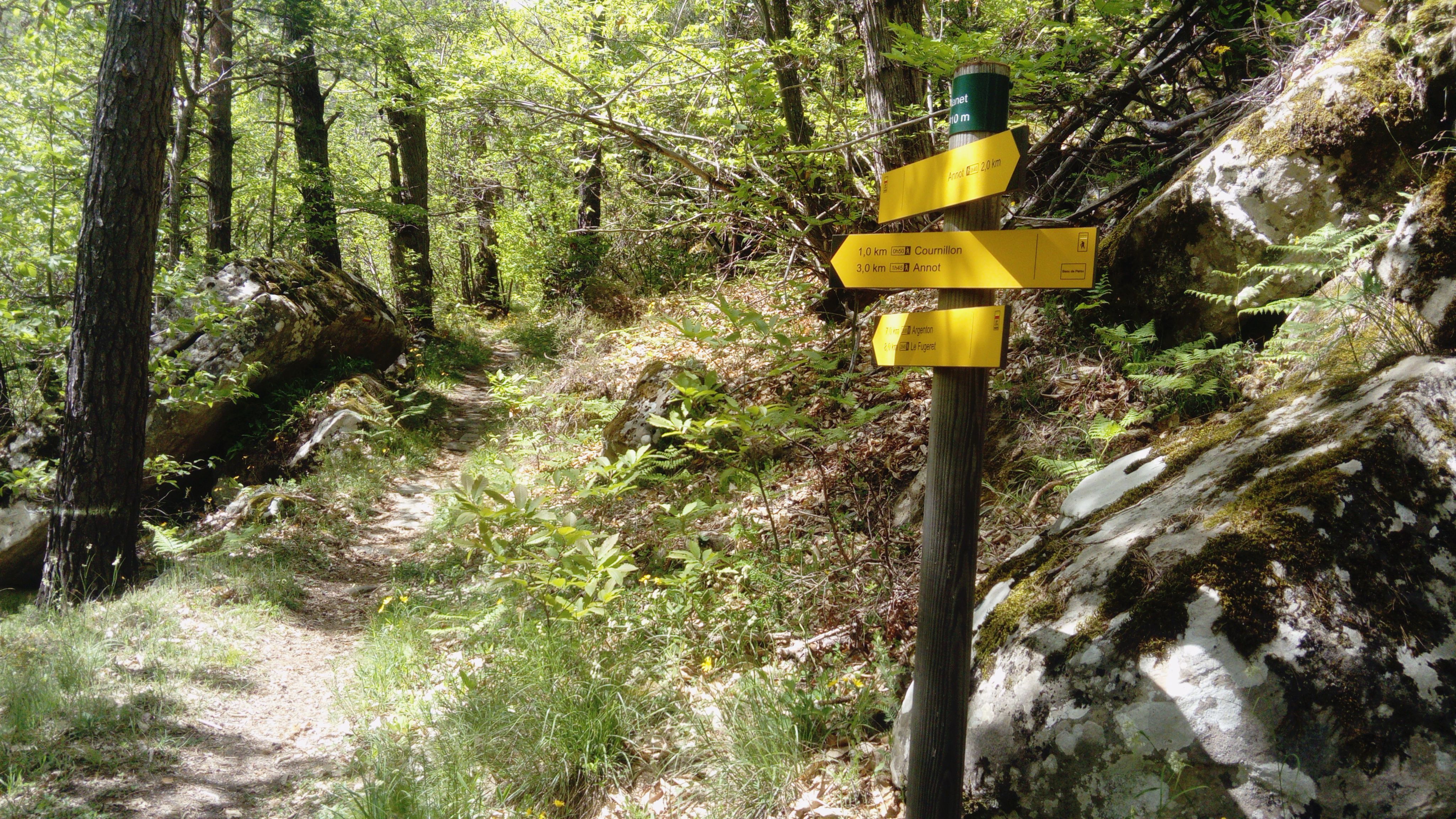
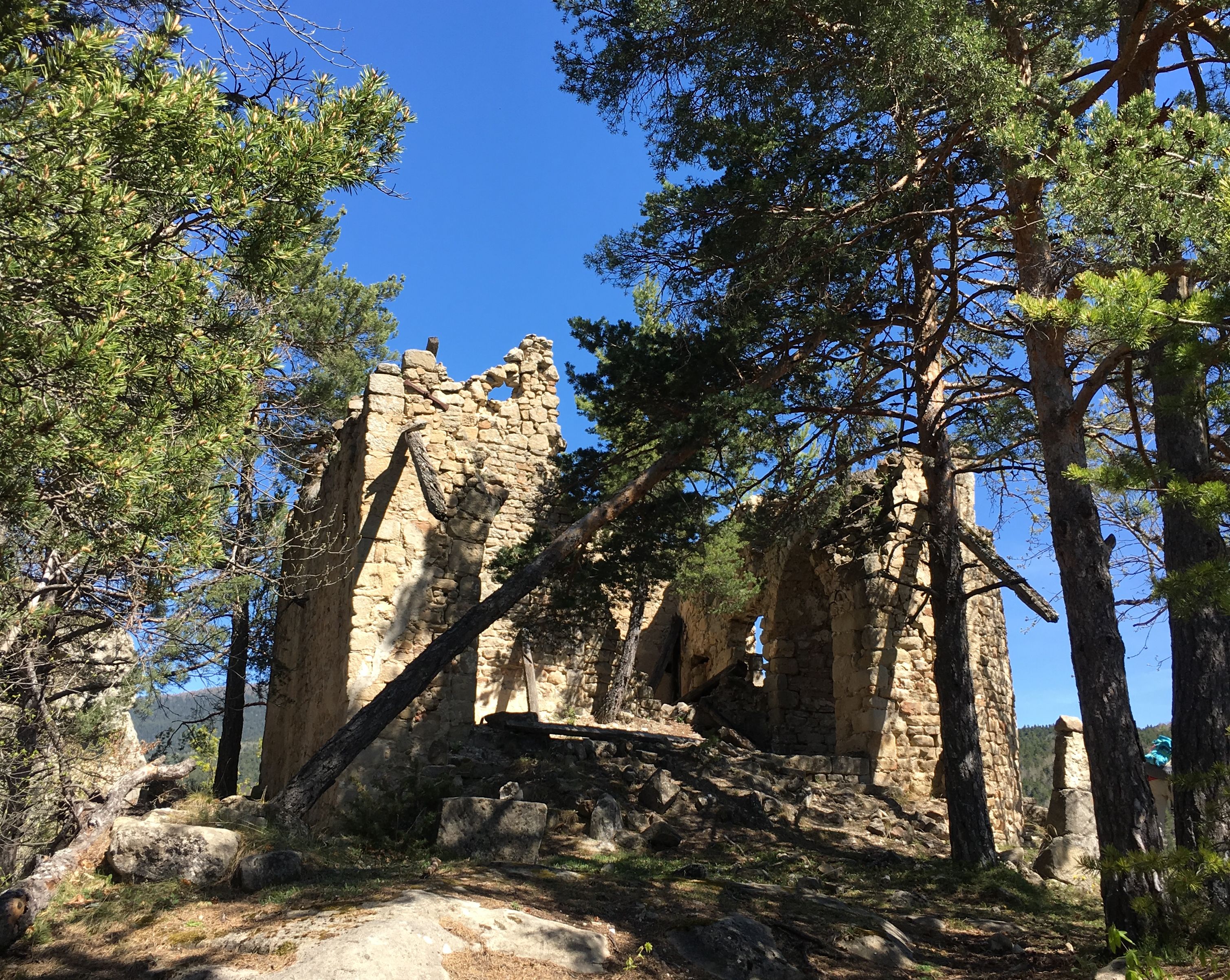
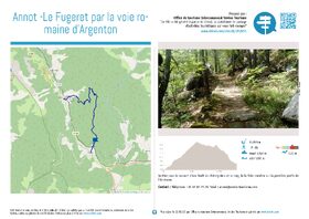
Annot – Le Fugeret par la voie romaine d’Argenton


9 km
One-way
4h
Hard
670m
D+ 670m
1369m
-
Documents
GPX / KML files allow you to export the route of your hike to your GPS (or other navigation tool)
-
References
Cartographic : TOP 25 3541 OT and Verdon Tourisme map "21 hikes around Annot".
-
Environment
- Close to a public transportation
- TER stop (regional train) within 500 m
-
Services & Equipment
- PrestationService
- Pets welcome
Animaux : Accepted
-
Customer base
- Level red – hard