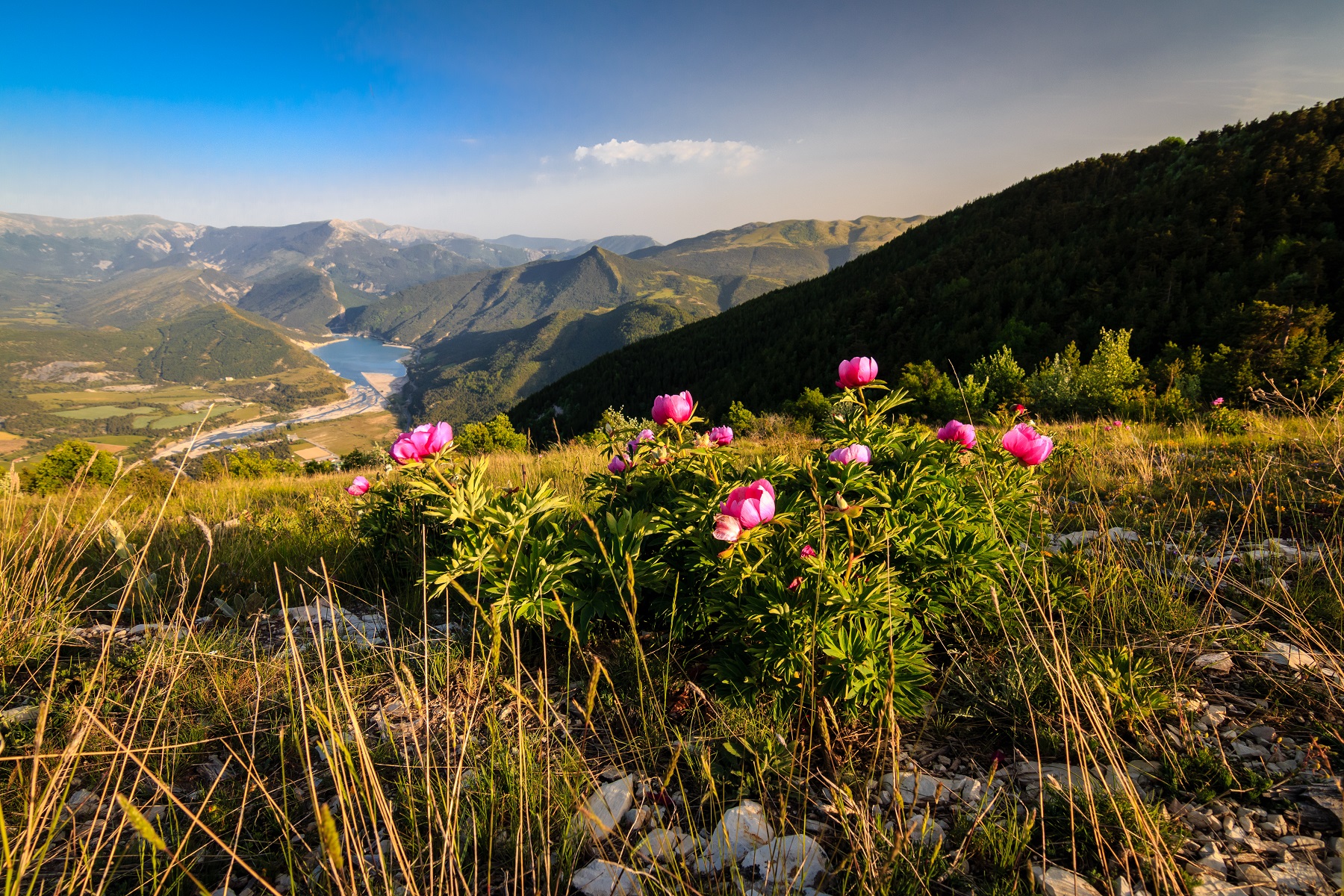
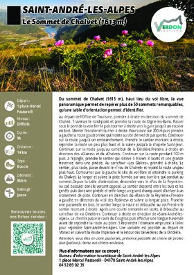
Le Sommet de Chalvet (1613 m)
14 km
Loop
5h
Very Hard
950m
D+ 950m
1597m
A variant is possible from Moriez, following the Route Impériale and returning to the Dindière belvederes.
-
Documents
GPX / KML files allow you to export the route of your hike to your GPS (or other navigation tool)
-
Type of land
- NatureTerrain
- Ground
-
References
Cartographic : Set of 2 Verdon Tourisme maps of the Saint André and Barrême areas and of the Verdon gorges, from La Palud-sur-Verdon to Castellane.
-
Prices
Free of charge.
-
Environment
- Close to a public transportation
- TER stop (regional train) within 500 m
-
Services & Equipment
- PrestationService
- Pets welcome
Animaux : Accepted without supplements
Attention, vous êtes en zone pastorale, présence possible de chiens de protection (patous) : tenez vos chiens en laisse.
-
Customer base
- Level black - very hard