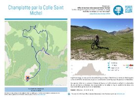
Champlatte par la Colle Saint Michel
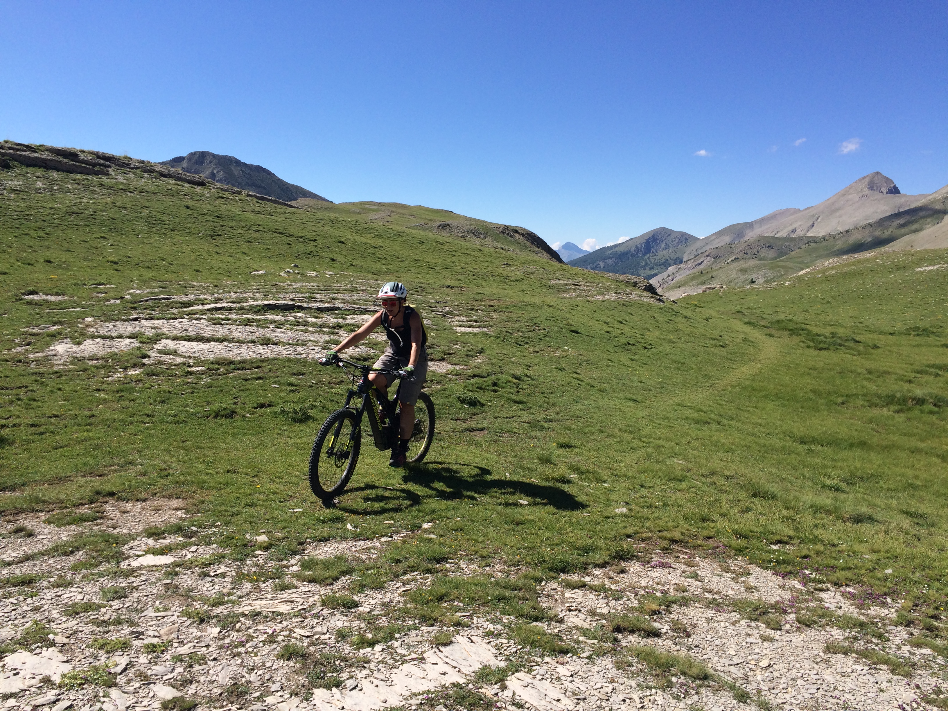
This route, marked out in accordance with French Cycling Federation standards, alternates between forest and ridge sections. It crosses pastures, larch and pine undergrowth and offers magnificent views over the valleys and surrounding mountains of Grand Coyer, Ruch, the Rent ridge and Grand Cordoeil. In winter, snowshoe enthusiasts can follow a signposted itinerary across this beautiful plateau, which serves as a refuge for many animals. All leave their footprints in the snow and deserve the utmost peace and quiet.
-
Documents
GPX / KML files allow you to export the route of your hike to your GPS (or other navigation tool)
-
Type of land
- NatureTerrain
- Ground
-
References
Cartographic : Carte Verdon Tourisme 24 randonnées VTT Haut-Verdon Val d'Allos
-
Opening
From 01/05 to 31/10 daily.
Subject to favorable snow and weather conditions.- * OuvertureComplementaire
- * Subject to favorable weather
- * Subject to snow conditions
-
Prices
Free access.
-
Spoken languages
- French
-
Customer base
- Level red – hard