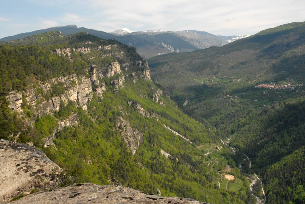
Sentier de Baume Longe
12.5 km
Loop
5h
Hard
570m
D+ 570m / D- 570m
1199m
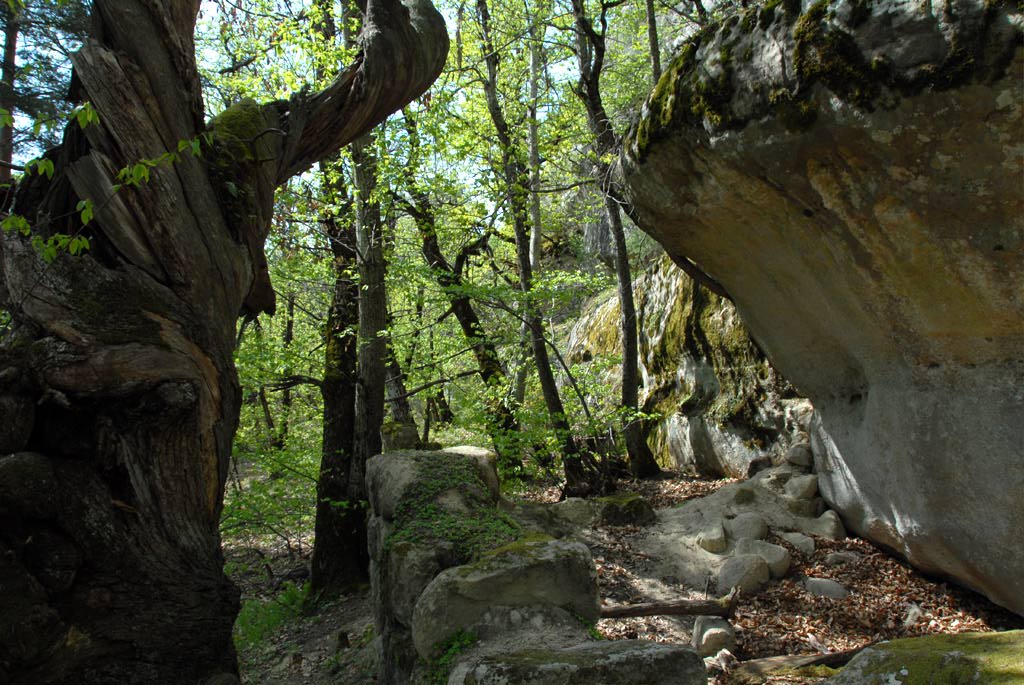
The final part of the route follows the Annot sandstone path.
-
Documents
GPX / KML files allow you to export the route of your hike to your GPS (or other navigation tool)
-
References
Cartographic : TOP 25 IGN 3541 OT
-
Prices
Free access.
-
Environment
- Close to a public transportation
- TER stop (regional train) within 500 m
-
Services & Equipment
- PrestationService
- Pets welcome
Animaux : Accepted
-
Customer base
- Level red – hard