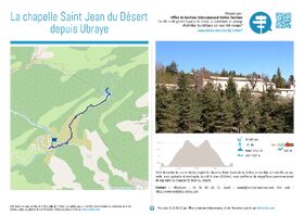
La Chapelle Saint-Jean-du-Désert depuis Ubraye
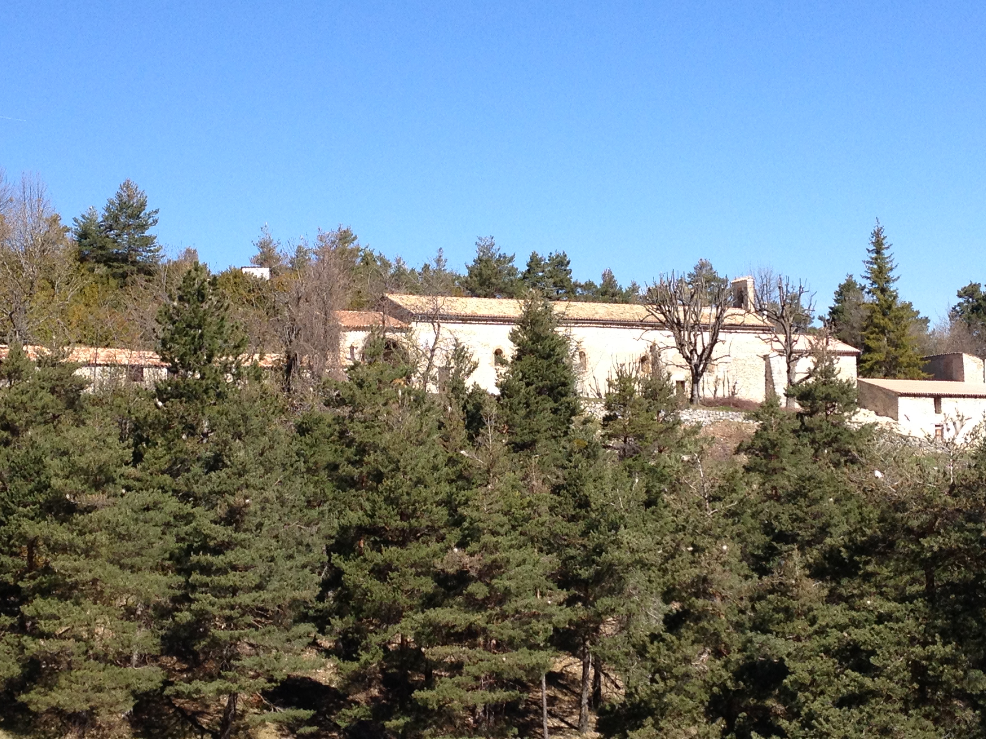
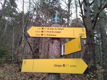

From the Montée de Saint-Martin, head to Rue du Repos and follow it until it meets the GR4 trail, marked in red and white, which descends into the Bernarde ravine toward Pont de Chauva. Then follow a small paved road to the 902-meter marker, and turn left off it to rejoin the GR4, which climbs toward the Col de Saint-Jean. Take this opportunity to admire the small Notre Dame de la Rivière chapel, and continue your ascent toward the pass.
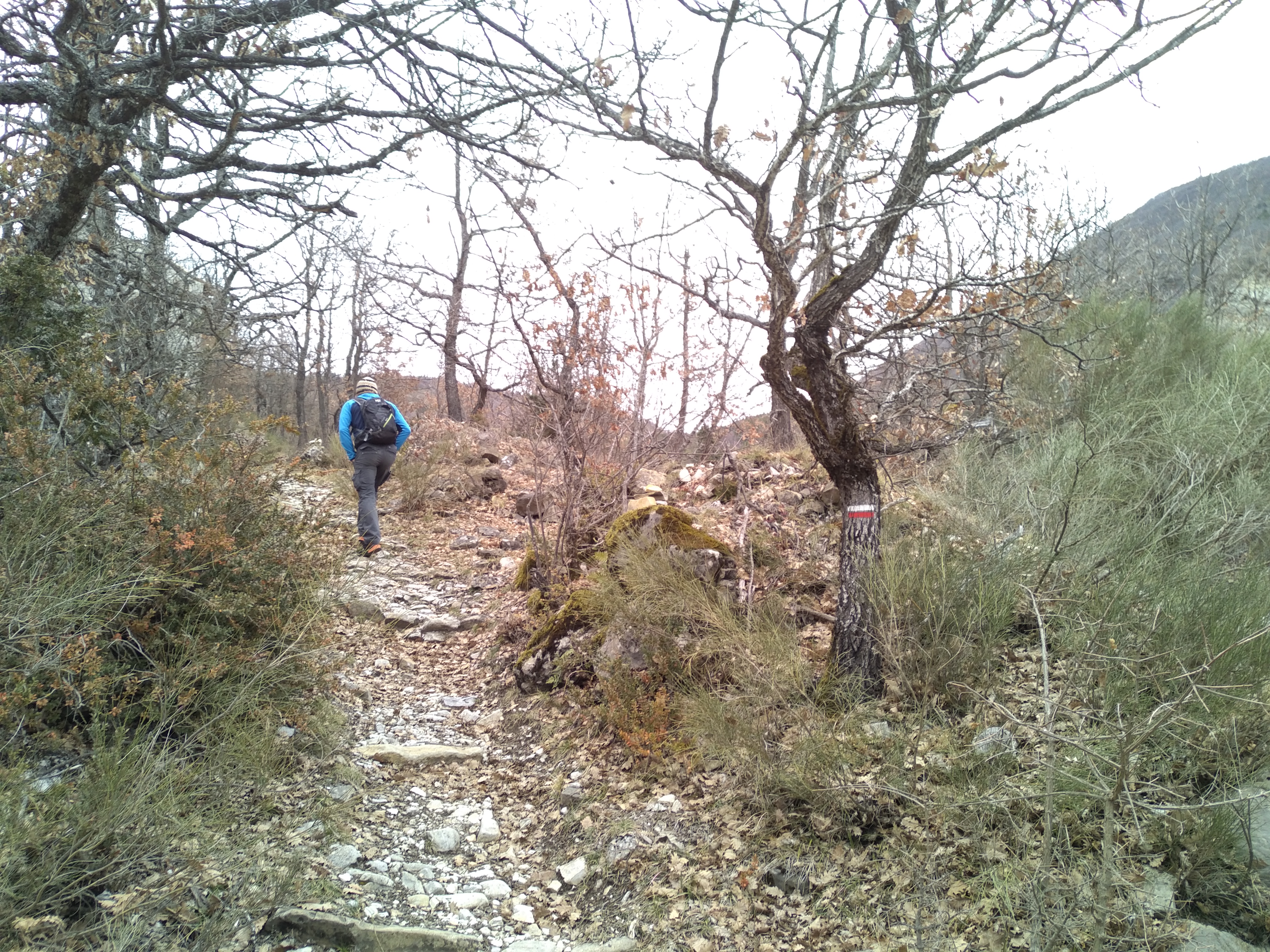
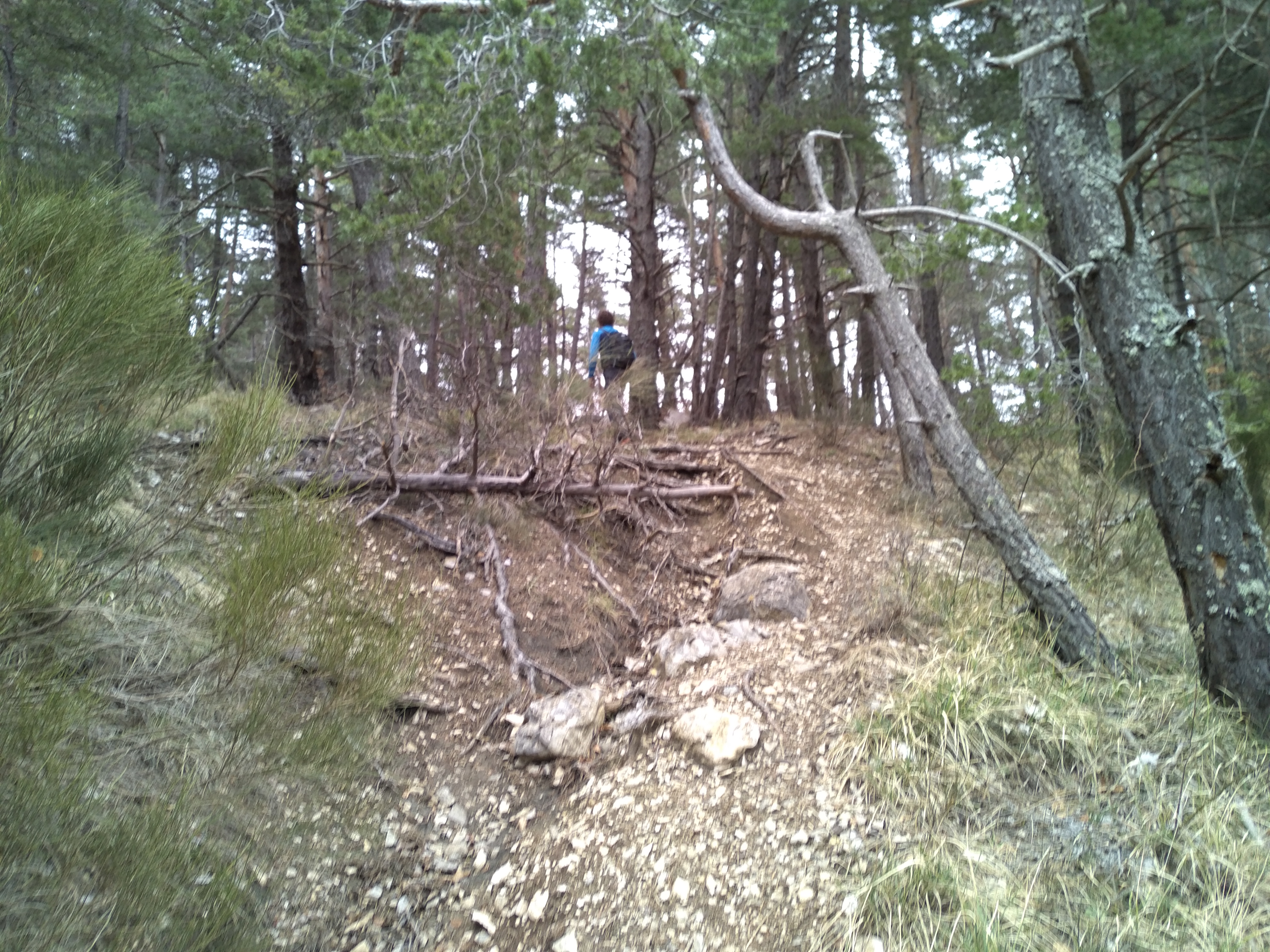
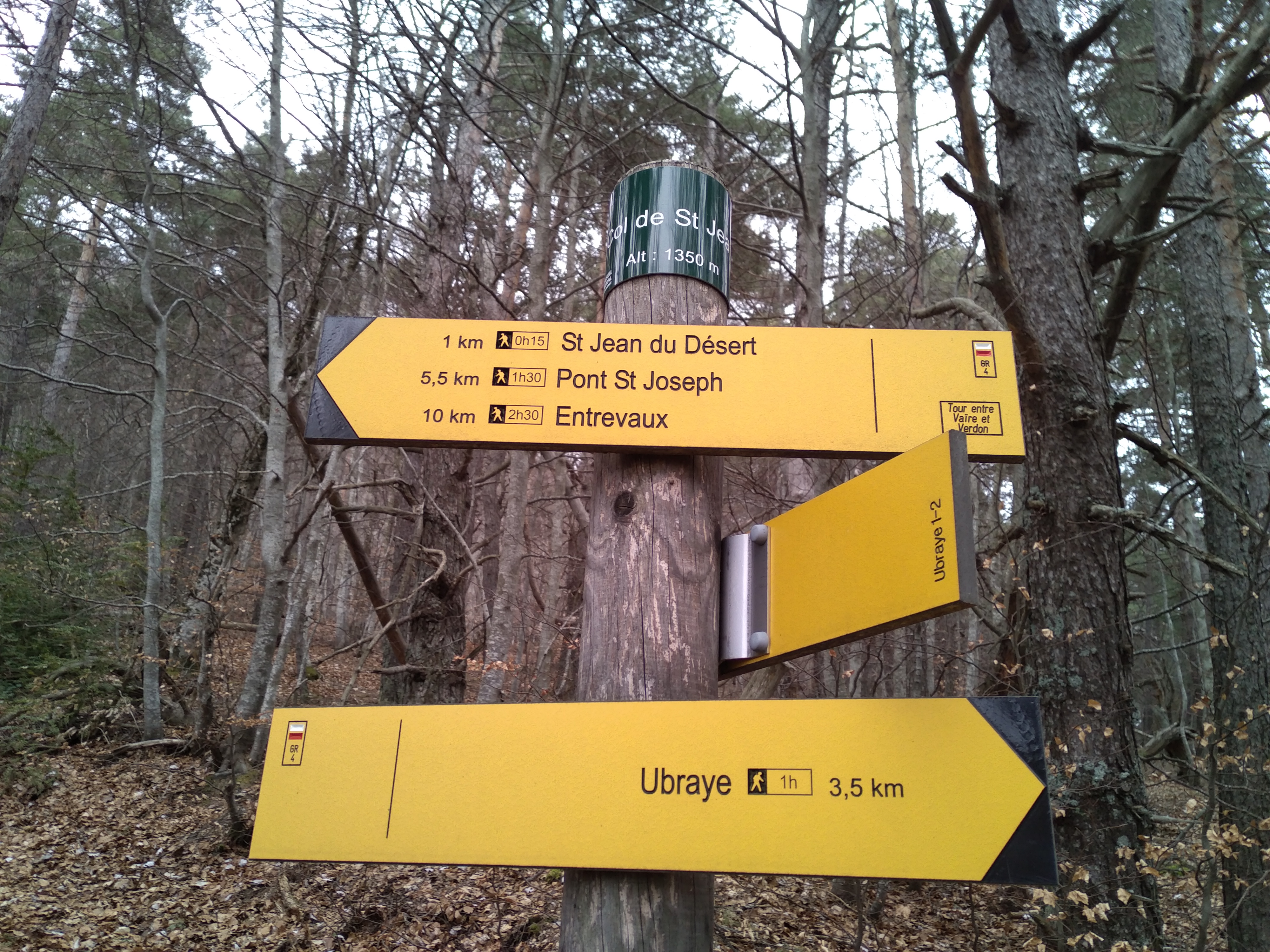
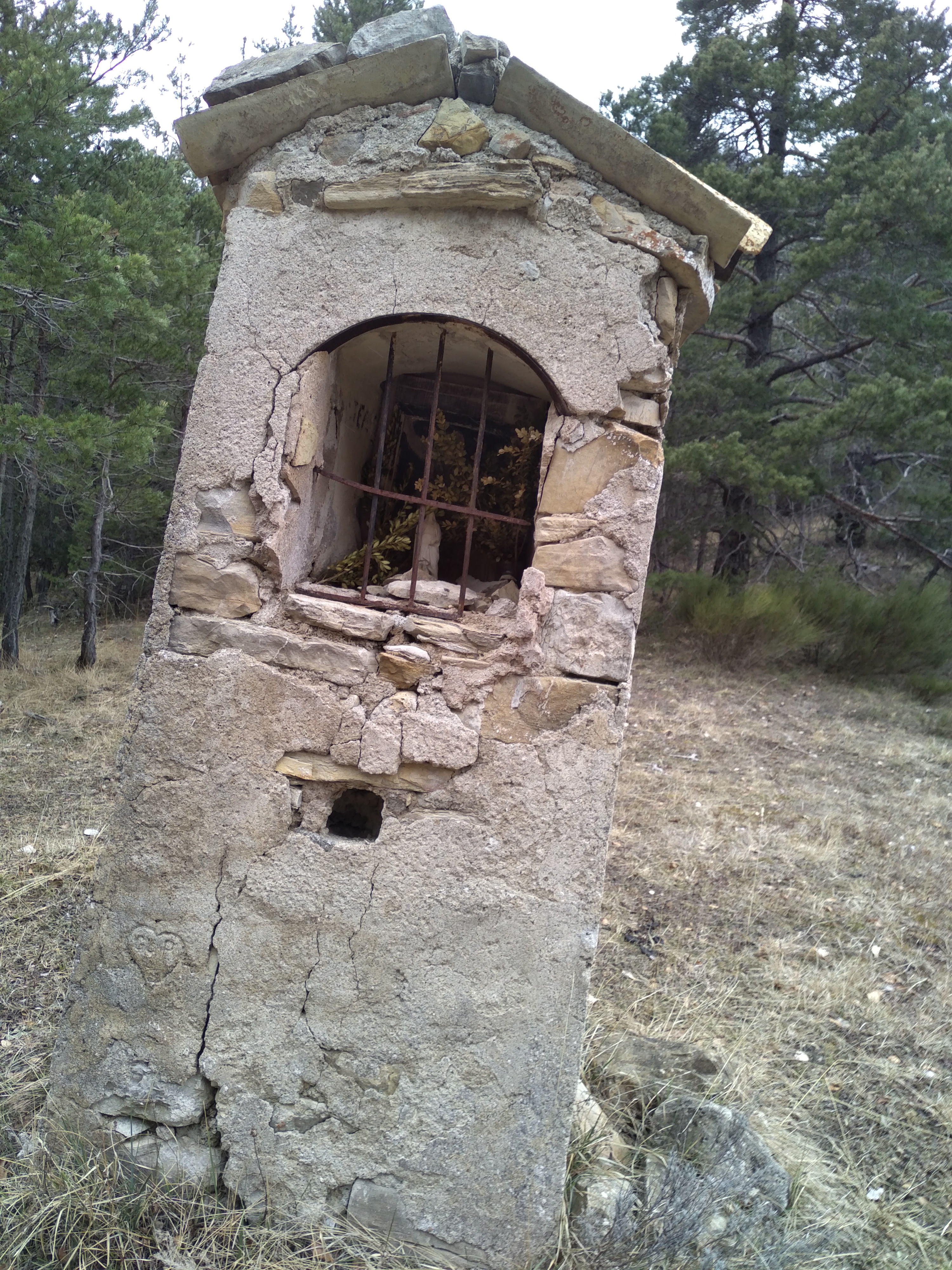
The trail winds through a sparse forest of oaks and boxwoods along a path made of whitish limestone. At one point, the trail crosses a track—do not take it. Stay on the red-and-white-marked trail, which climbs a bit more steeply just before the pass, at an elevation of 1,350 m. Take a moment to admire a small wayside shrine on your left, then begin the descent on the other side of the pass toward the Saint-Jean du Désert Chapel. Walk 1.2 km from there before enjoying a well-deserved break in front of the chapel. Return via the same route.
-
Documents
GPX / KML files allow you to export the route of your hike to your GPS (or other navigation tool)
-
References
Cartographic : IGN TOP 25 3542 OT and Verdon Tourisme map "21 hikes around Annot".
-
Services & Equipment
- PrestationService
- Pets welcome
Animaux : Accepted without supplements
-
Customer base
- Level red – hard