The summit of Destourbes
12.65 km
Round trip
5h
Hard
815m
D+ 815m / D- 815m
728m - 1535m
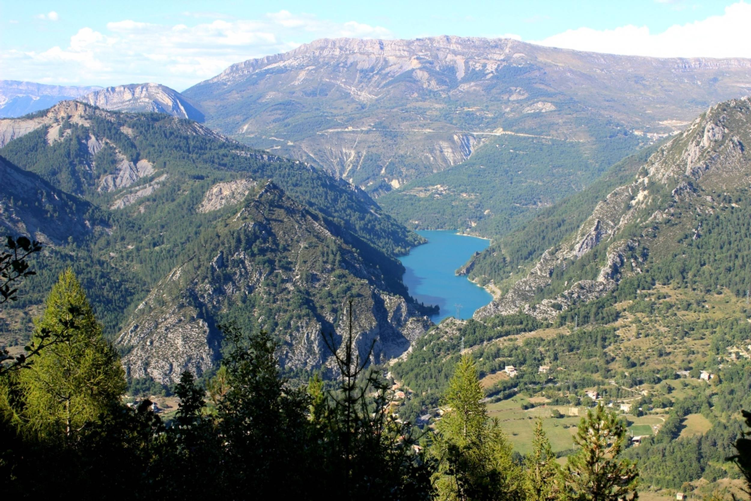
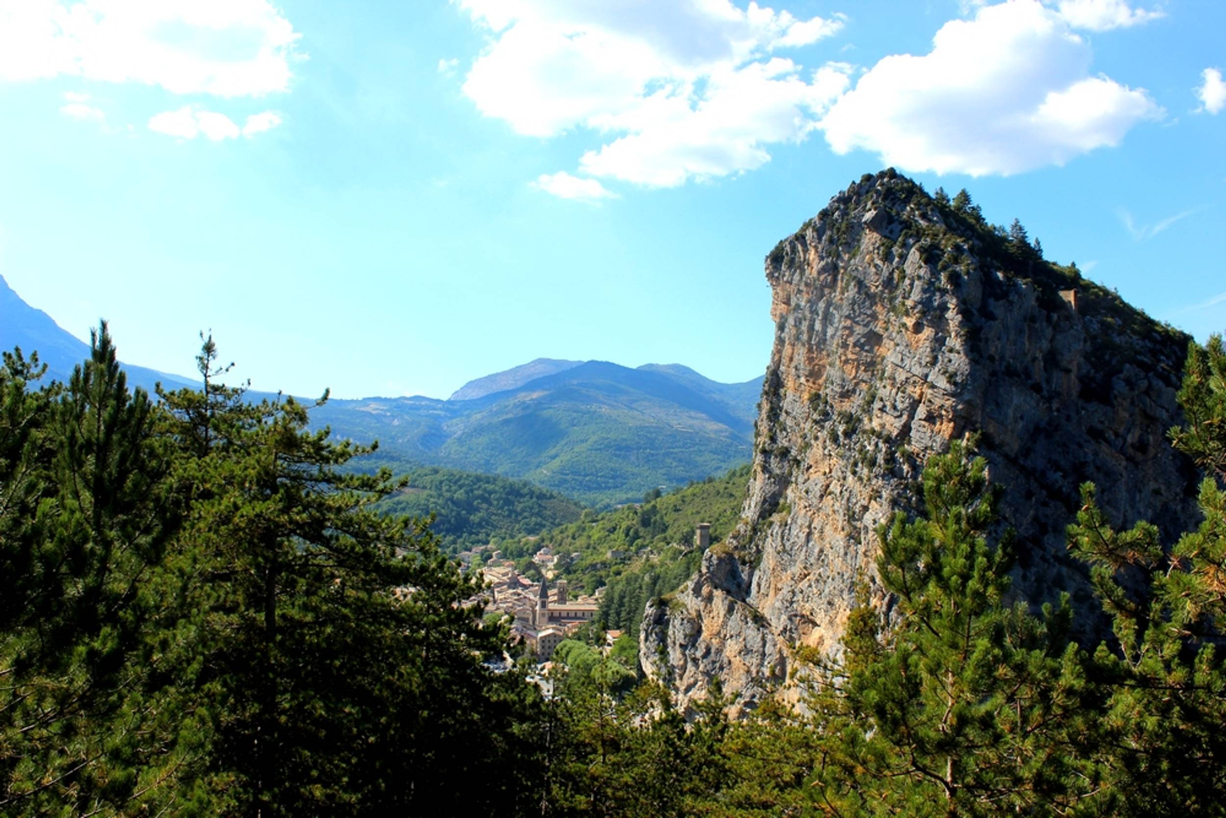
The summit of Destourbes is the privileged summit of the Castellanais. The hike is largely covered in the forest. The reward is at the end of this climb which culminates at 1543m, bringing together the main heights of the region. Its ascent back and forth also allows time to visit the town of Castellane.

-
Prices
Free access.
-
Customer base
- Level red – hard