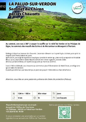
Sommet du Chiran par les Chauvets


EQUIPMENT La Palud-sur-Verdon-en
Parking and start at Hameau des Chauvets. The climb starts on the rightmost track just after the Chapelle Saint-Pierre, marked in yellow.
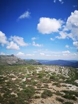
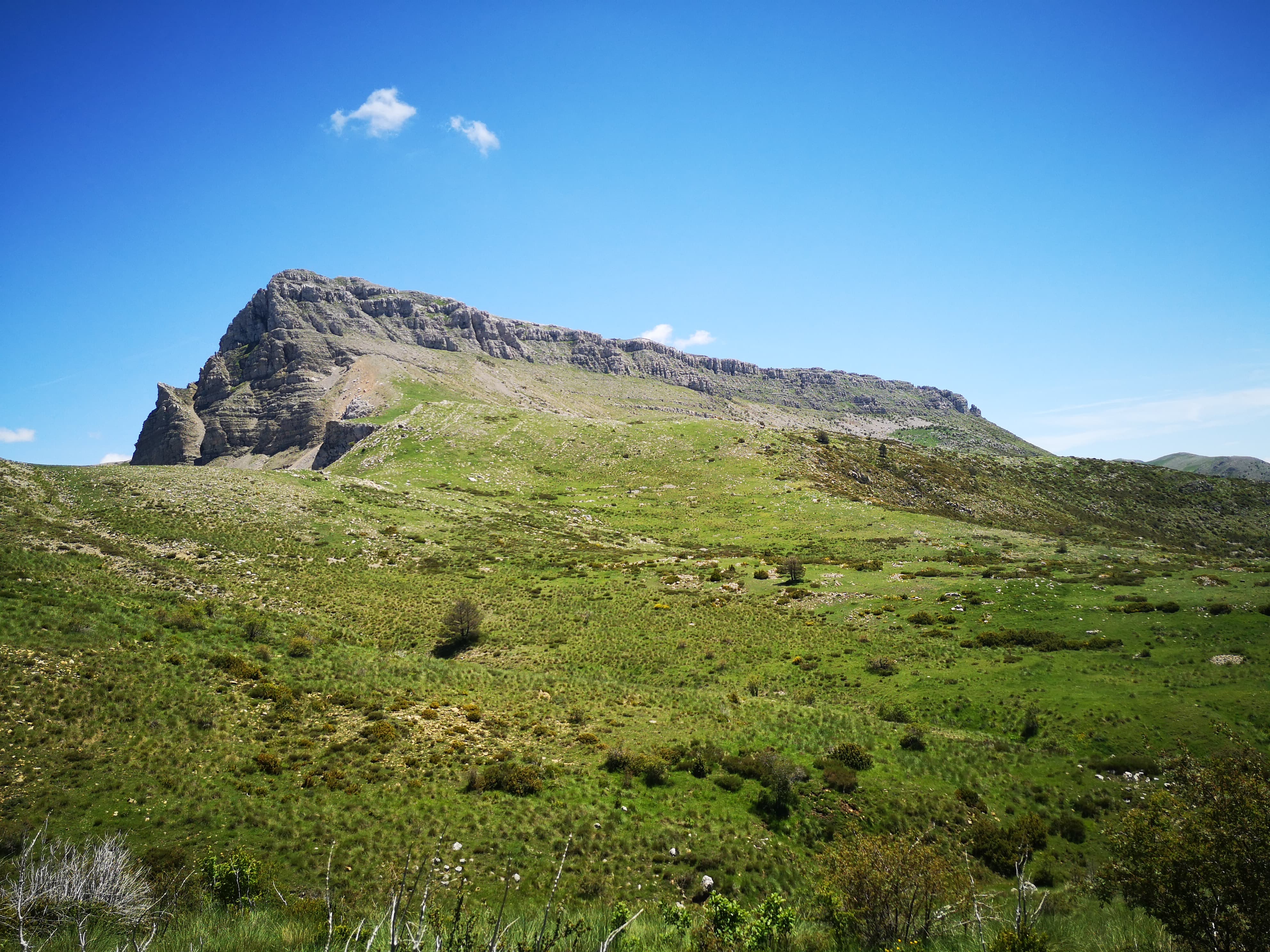
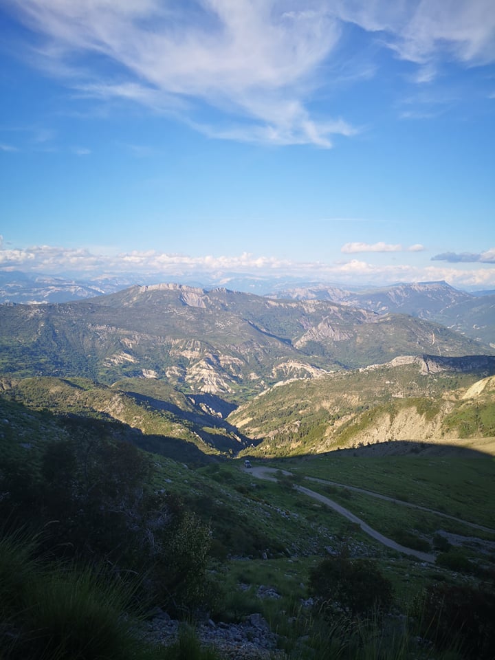
After 600 m, a bend in the track is cut off to take the path heading due north to the Portail de Blieux. The pass, between Grand Mourre on the right and Chiran on the left, is clearly visible.
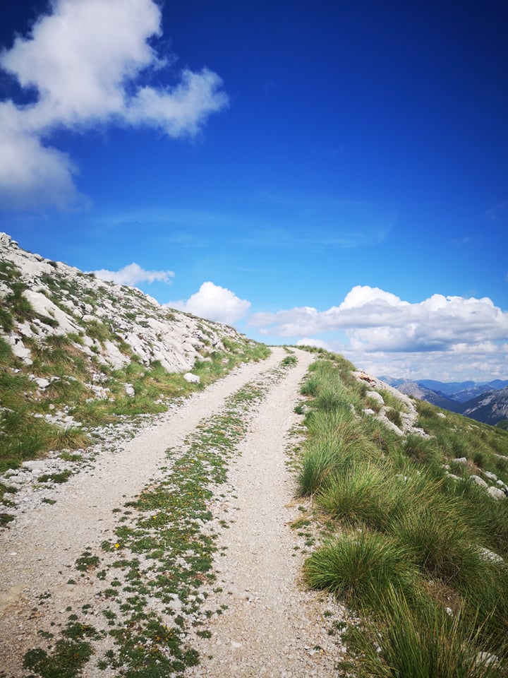
Once you’ve reached the Portail de Blieux, you join the wide track leading up to the summit.
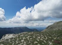
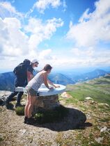
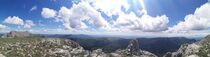
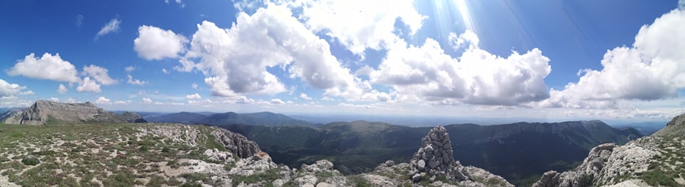
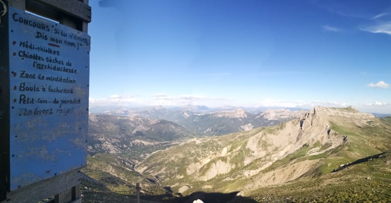
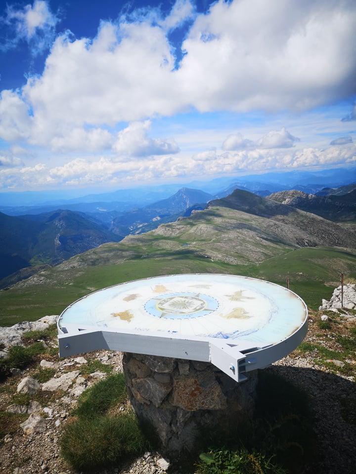
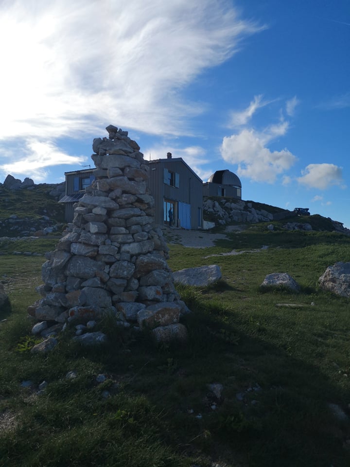
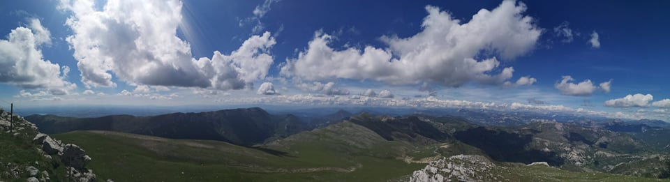
At an altitude of 1905 m, the summit is home to the Mont Chiran Observatory, a refuge and an orientation table.
It’s said that from up there, on a clear day, you can see up to 1/5th of the surface of France.
GPX / KML files allow you to export the route of your hike to your GPS (or other navigation tool)
Cartographic : Map 32 hikes around the Verdon Gorge, from La Palud-sur-Verdon to Castellane; Map of hikes in the Verdon Regional Nature Park
Free access.
Animaux : Accepted
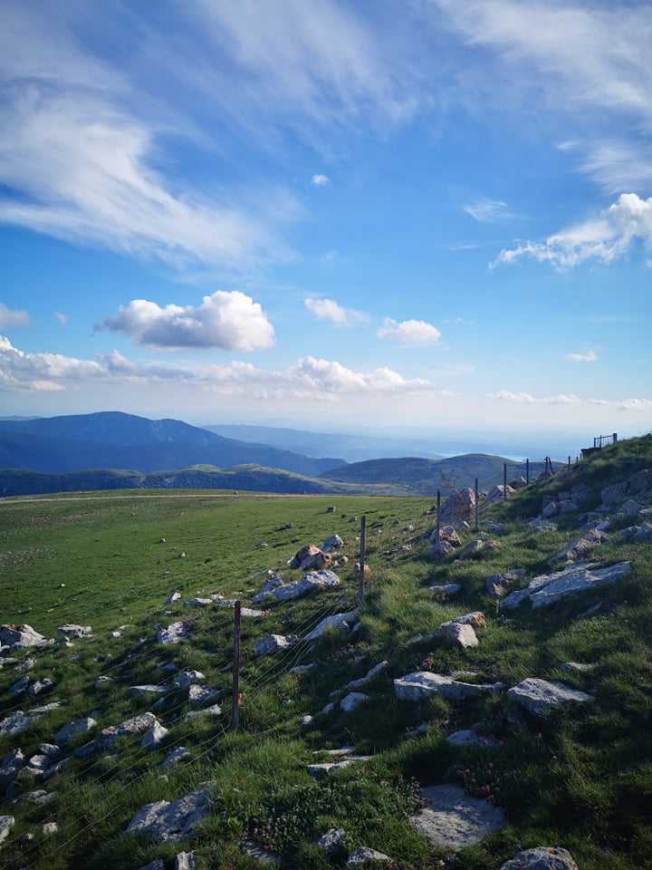
Beware, you are in a pastoral zone, where guard dogs (Patous) are present.