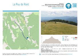
Le Puy de Rent depuis Annot


EQUIPMENT Annot-en
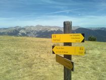
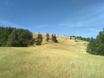
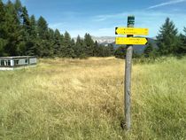
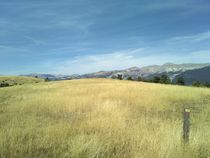
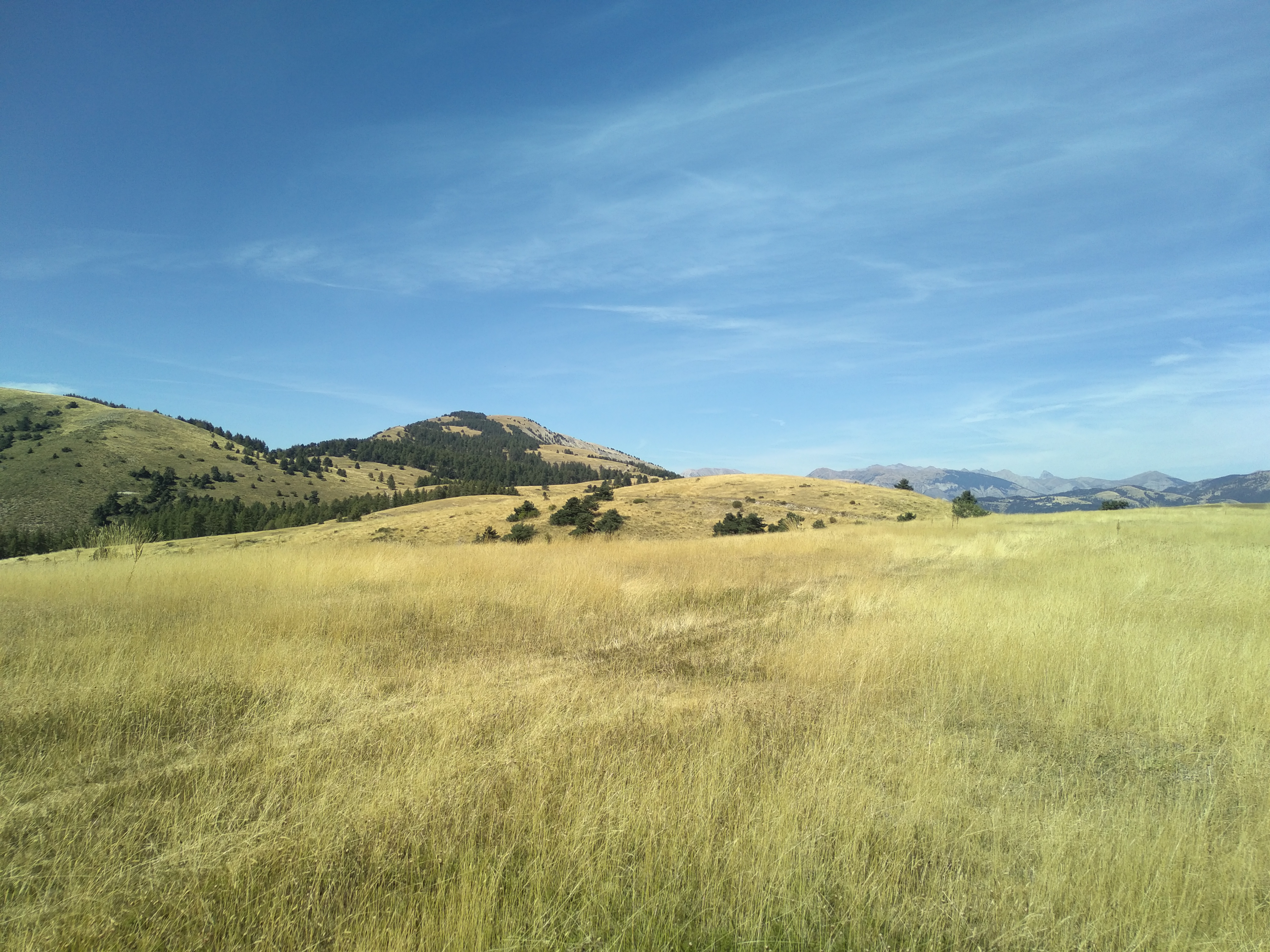
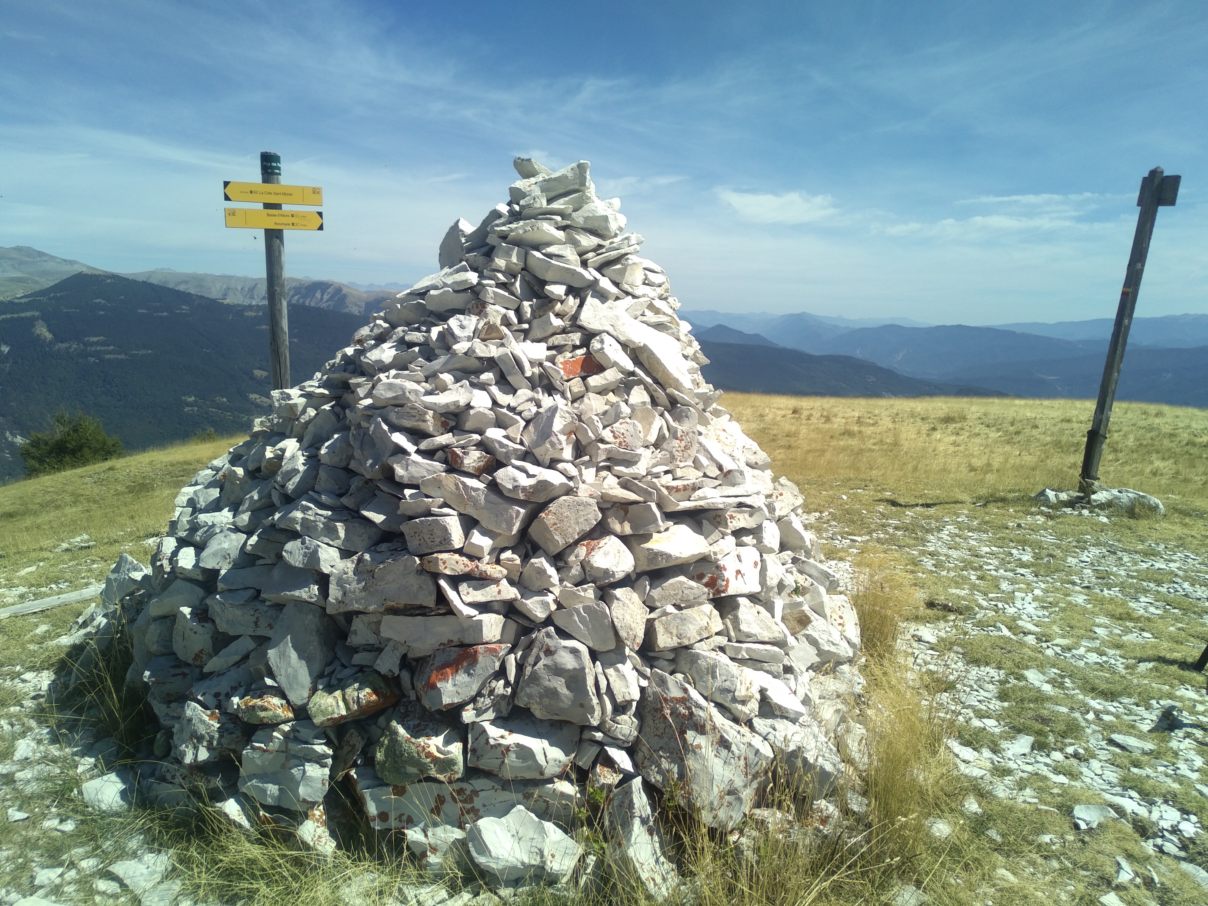
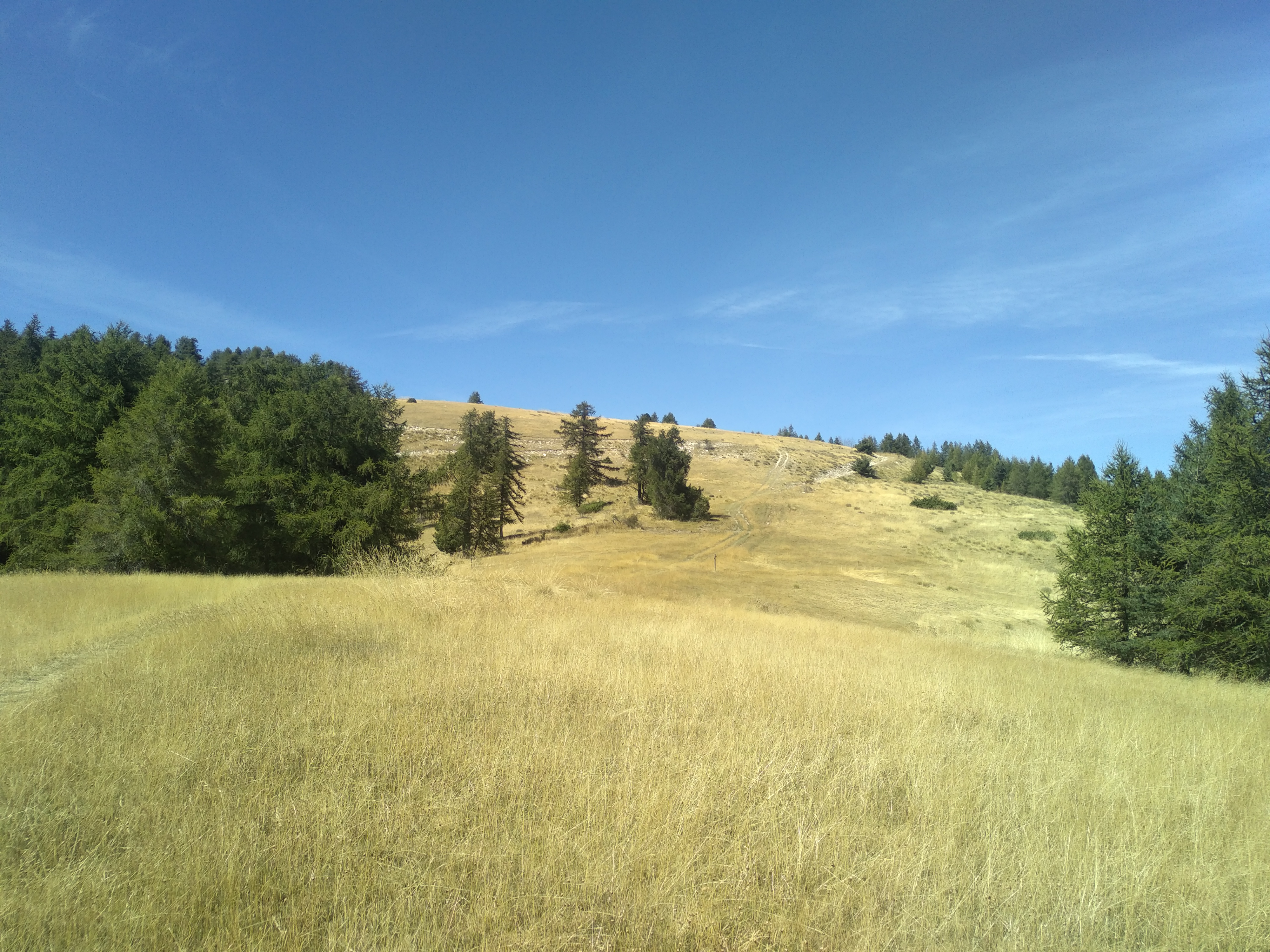
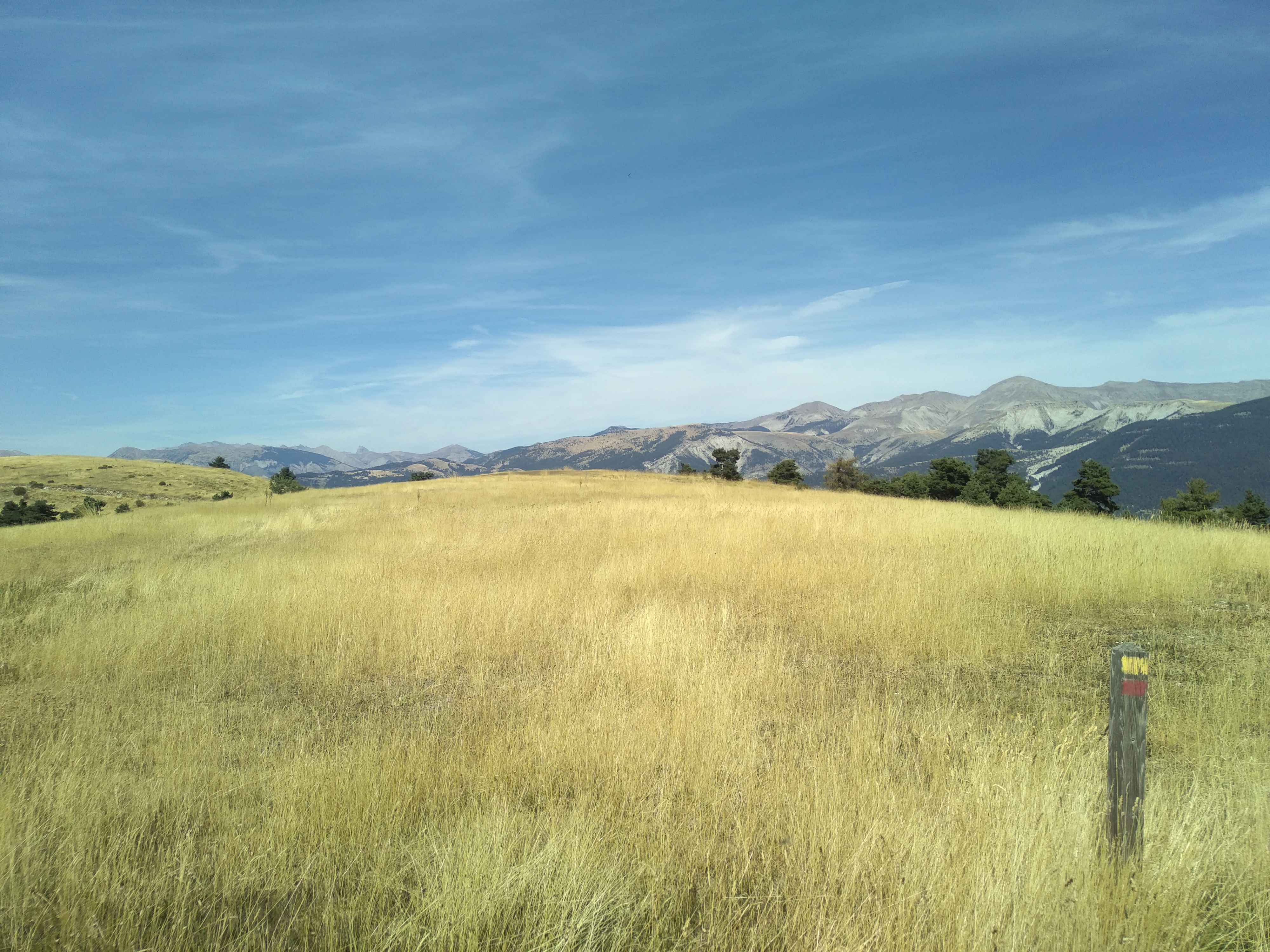
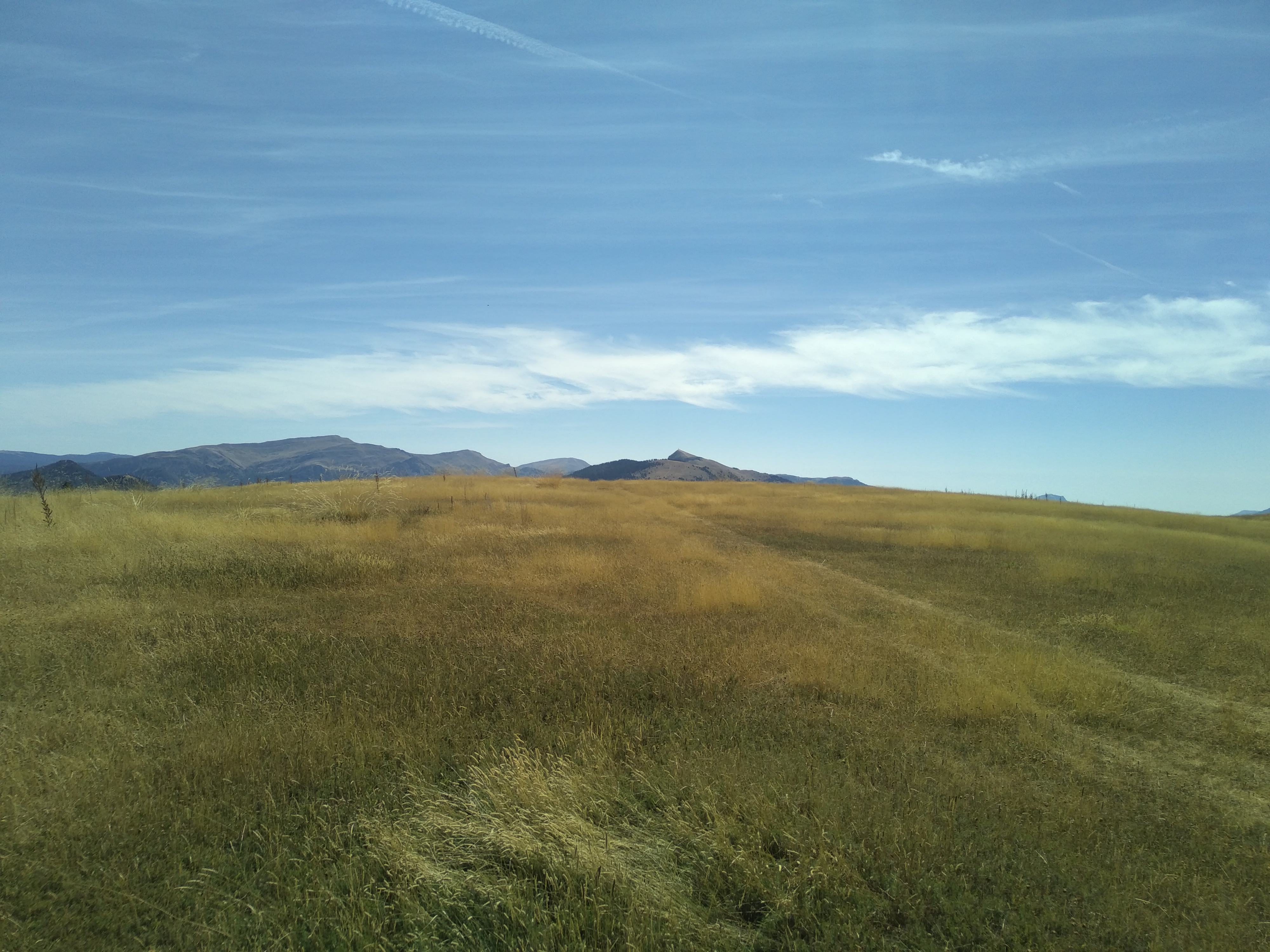
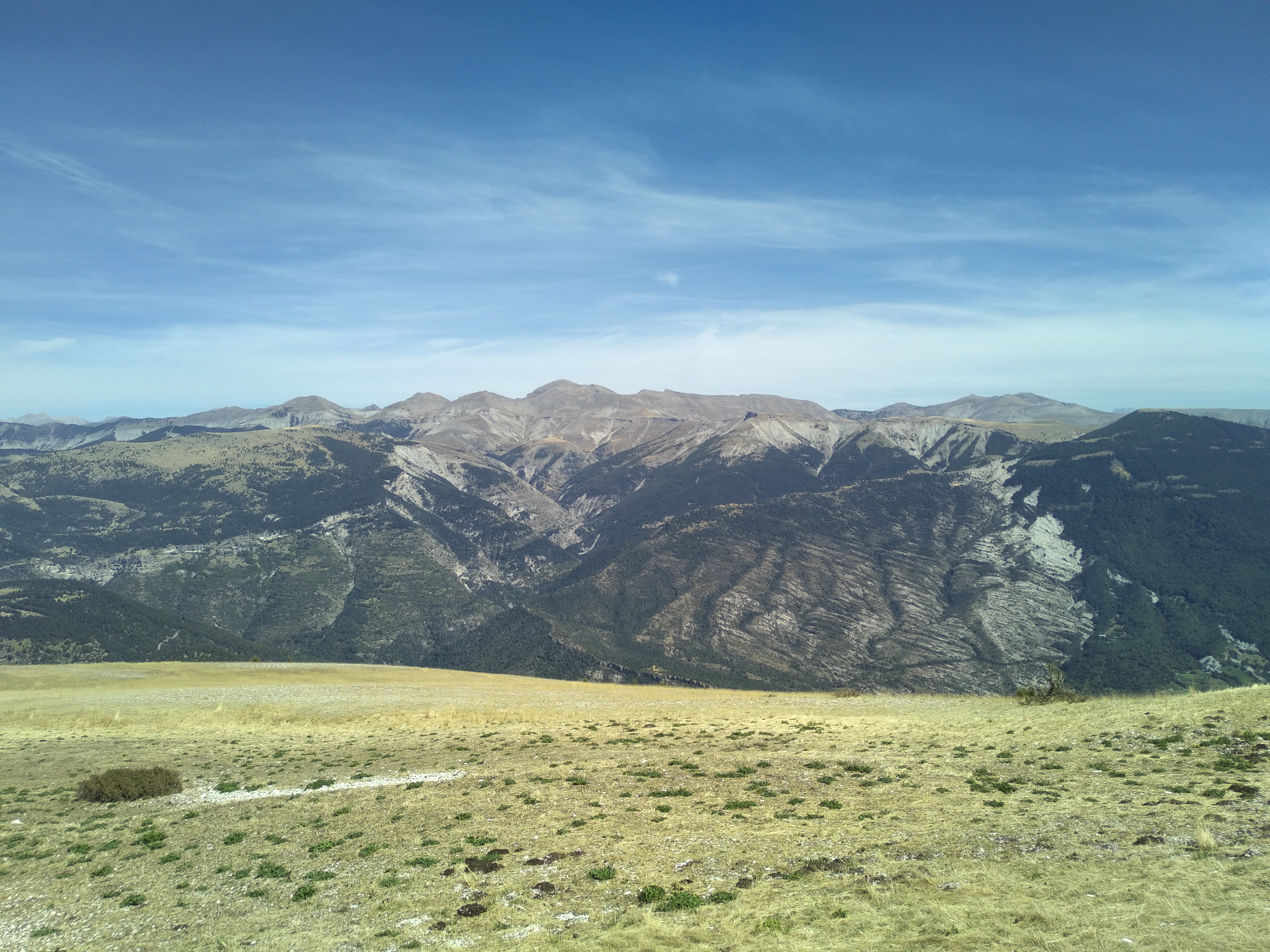
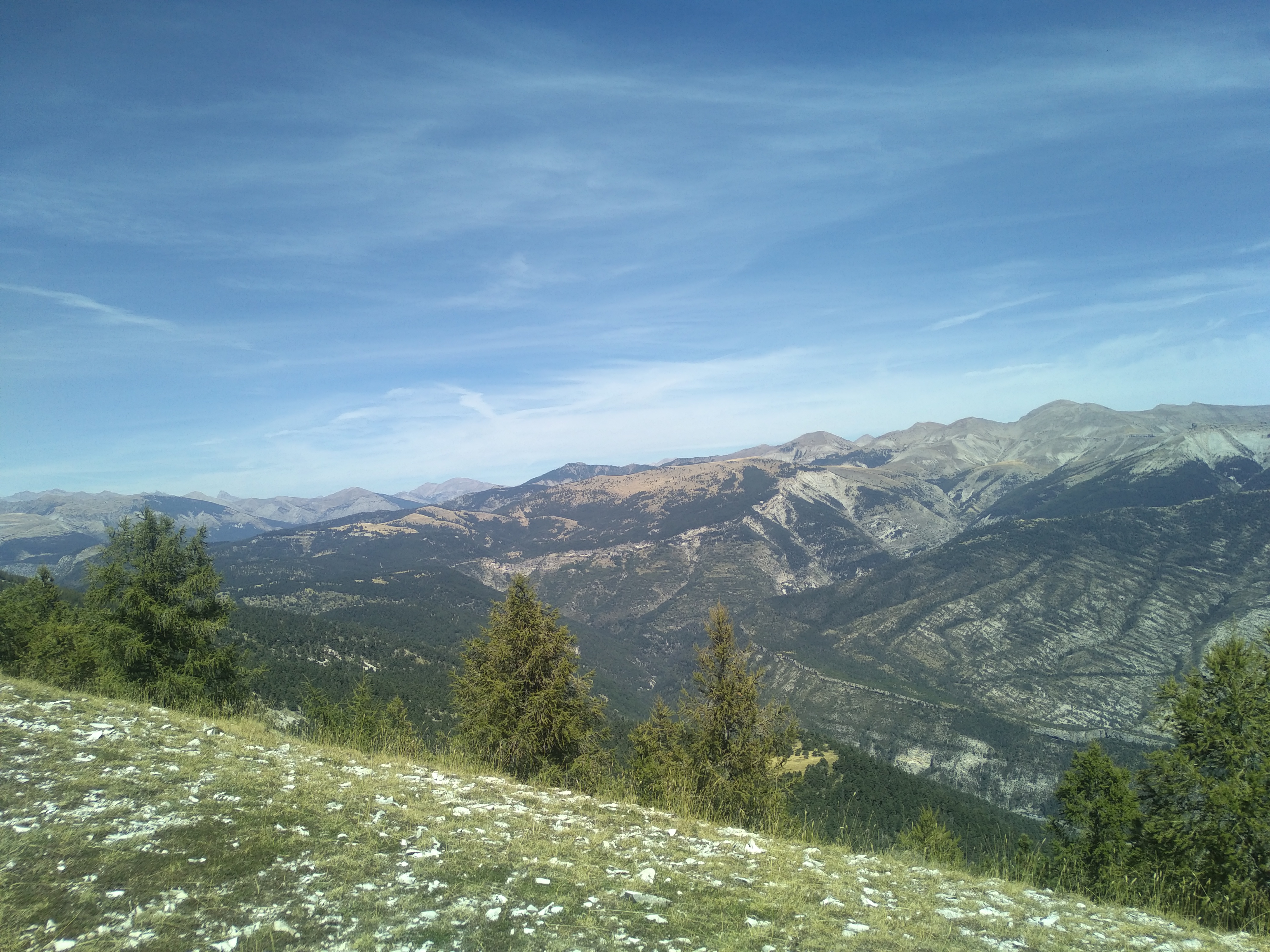
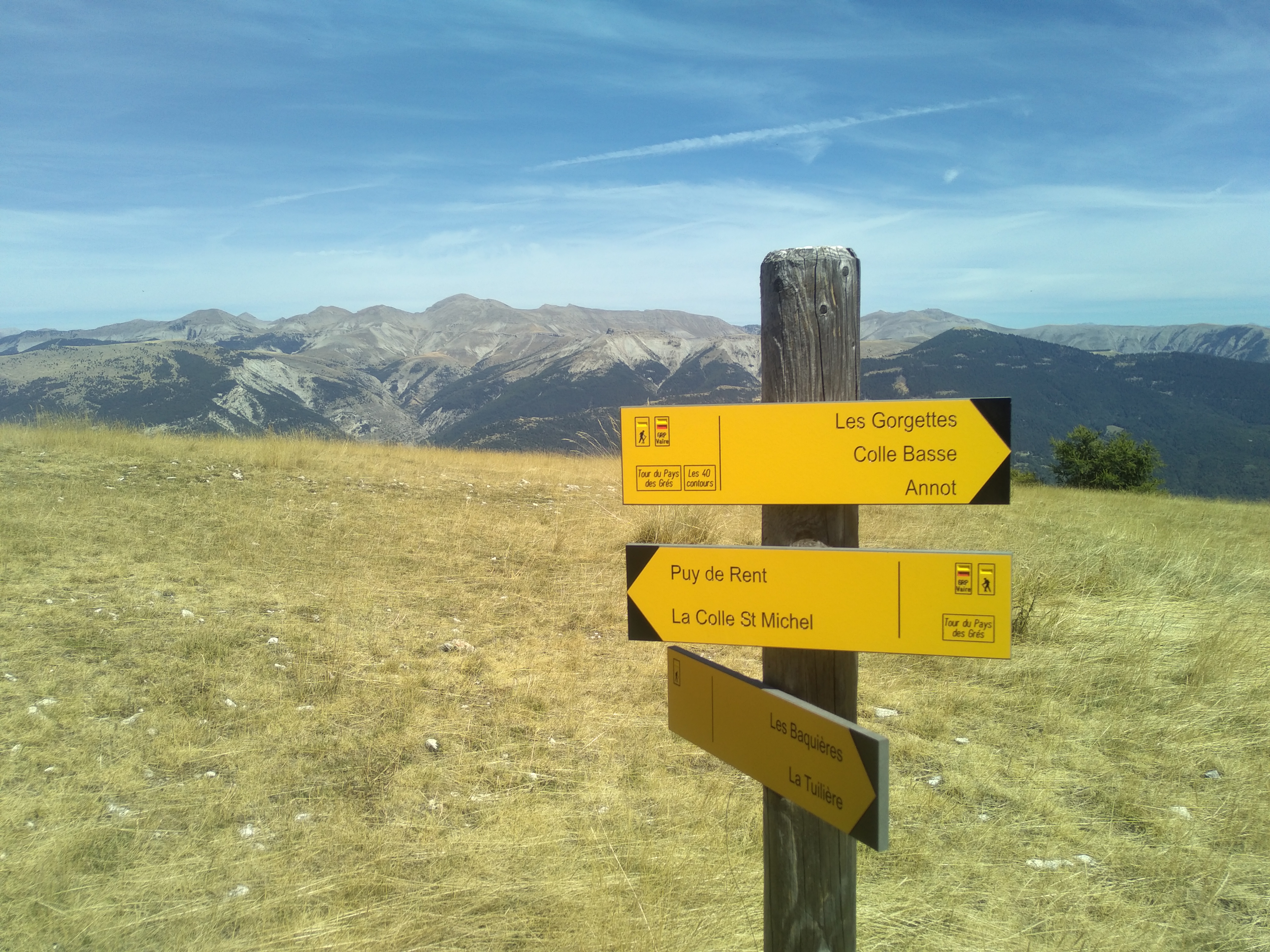
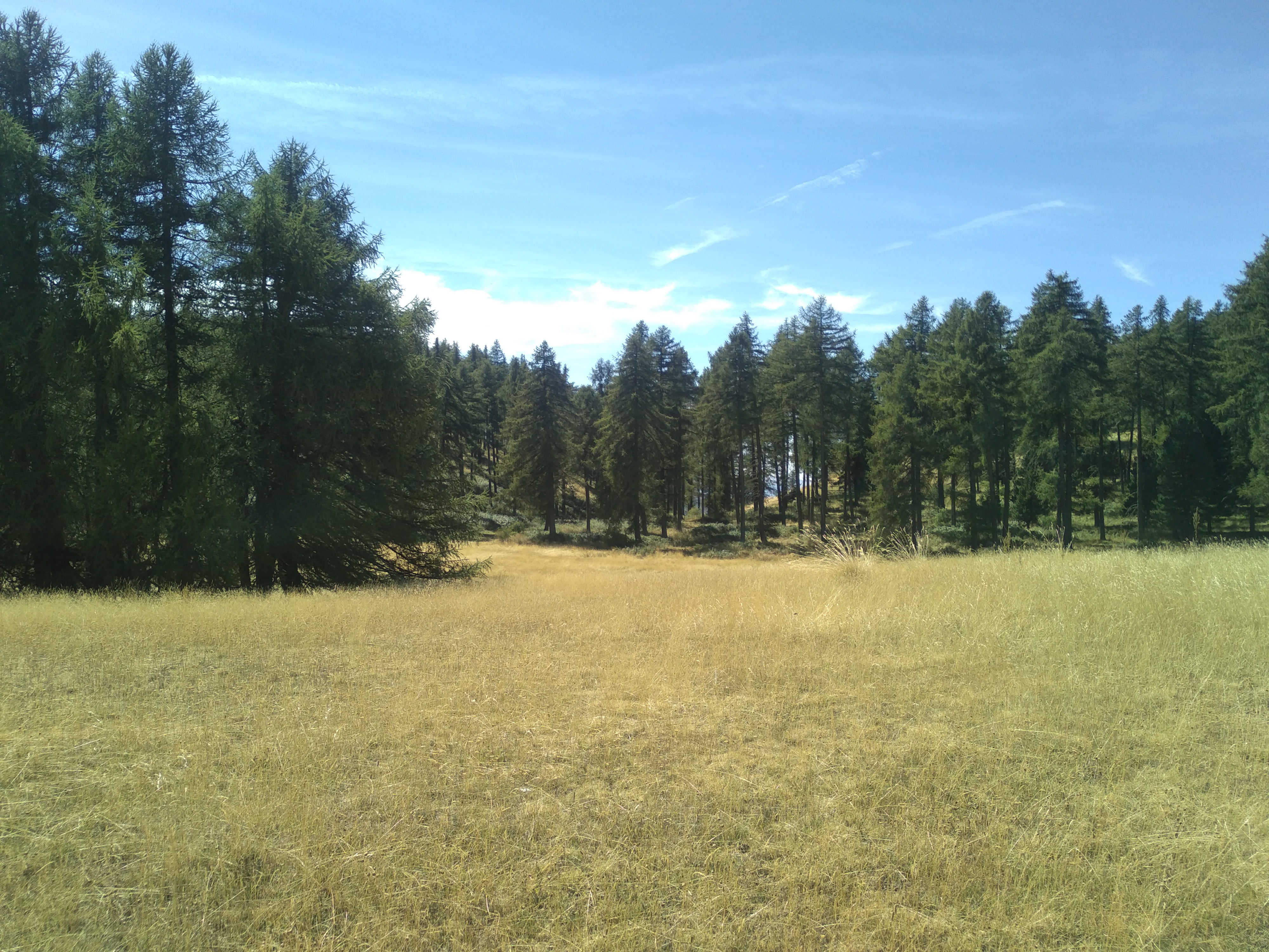
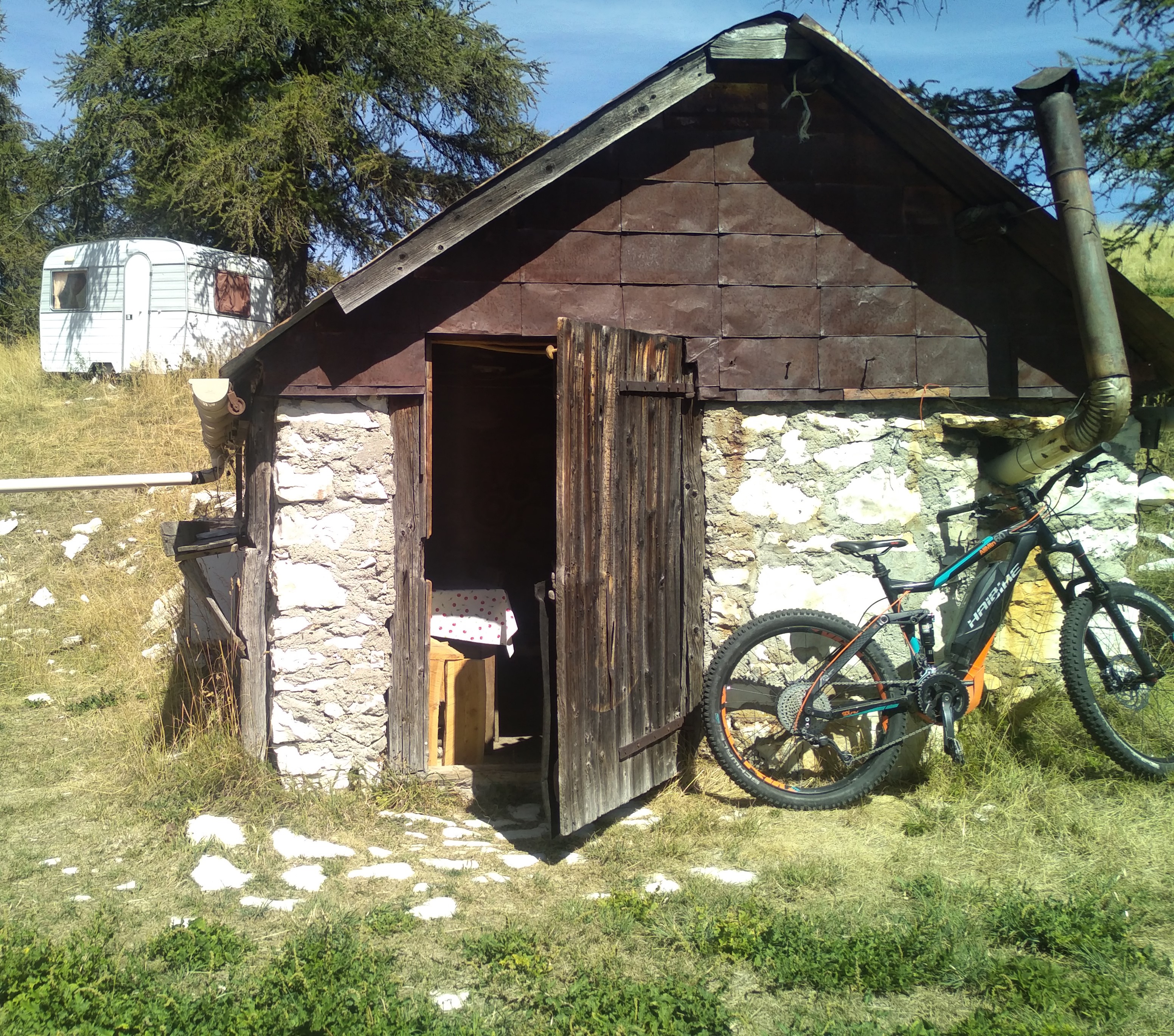
From the Roncharel refuge parking lot, cross the road and take the path leading up to Basse d’Annot. It crosses a track, then leads to the ridge, which you should follow to the right towards Basse d’Allons (yellow/red markings). Continue towards the summit, taking advantage of the panoramic view of the Grand Coyer and Saint Honnorat ranges to the east. A little further to the left is a pretty little shepherd’s hut. Finally, a cairn of whitish limestone marks the summit of Pic de Rent at an altitude of 1996m. This magnificent ridge takes on a steppe-like appearance in early autumn, offering splendid views over the Vaïre and Verdon valleys. Return to the Roncharel refuge by the same route. This hike is also ideal for mountain biking.
GPX / KML files allow you to export the route of your hike to your GPS (or other navigation tool)
Cartographic : IGN TOP 25 3541 OT and Verdon Tourisme map "21 hikes around Annot".
Animaux : Accepted
Warning: you are in a pastoral zone, where guard dogs (patous) may be present.
Keep your dogs on a leash.