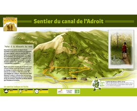
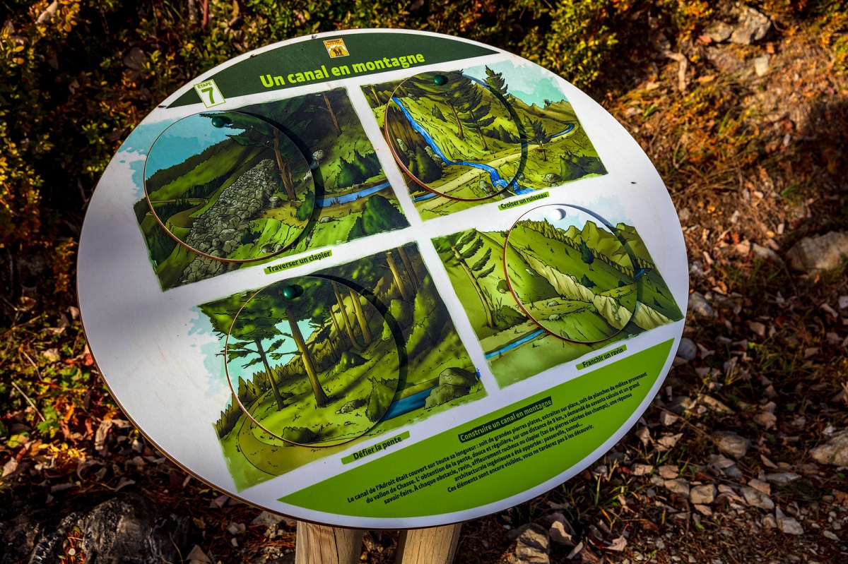
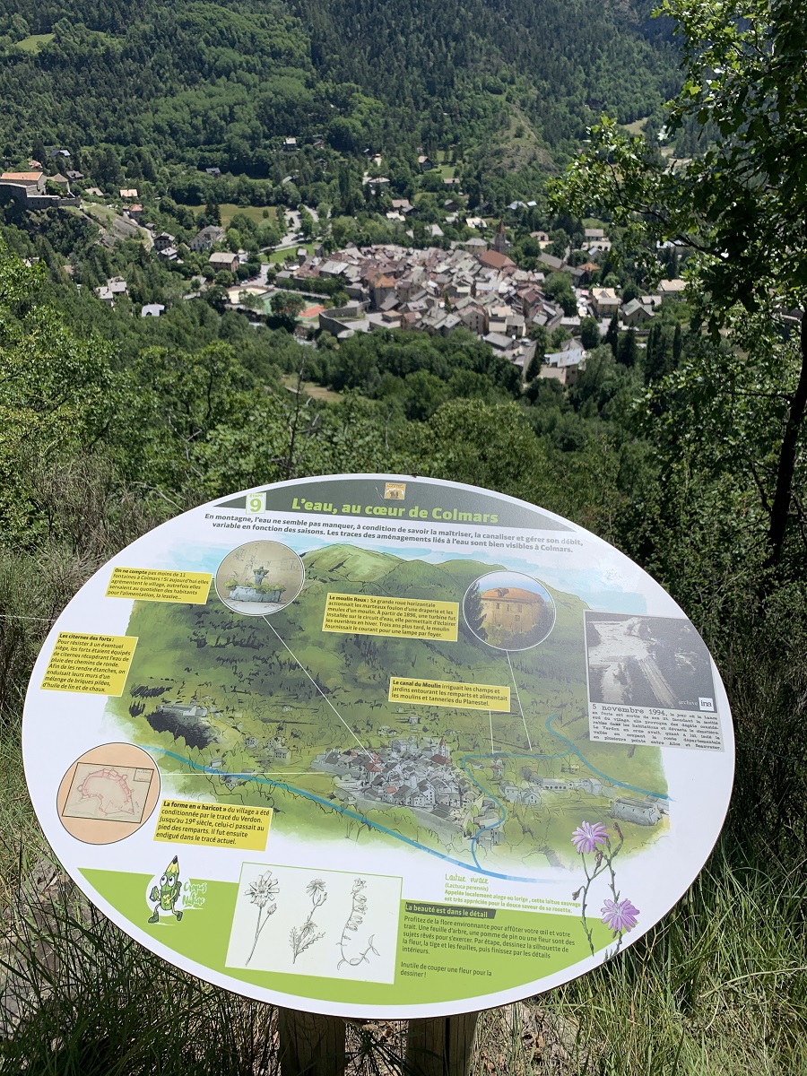
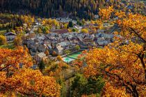
Canal de l’Adroit Interpretation Trail
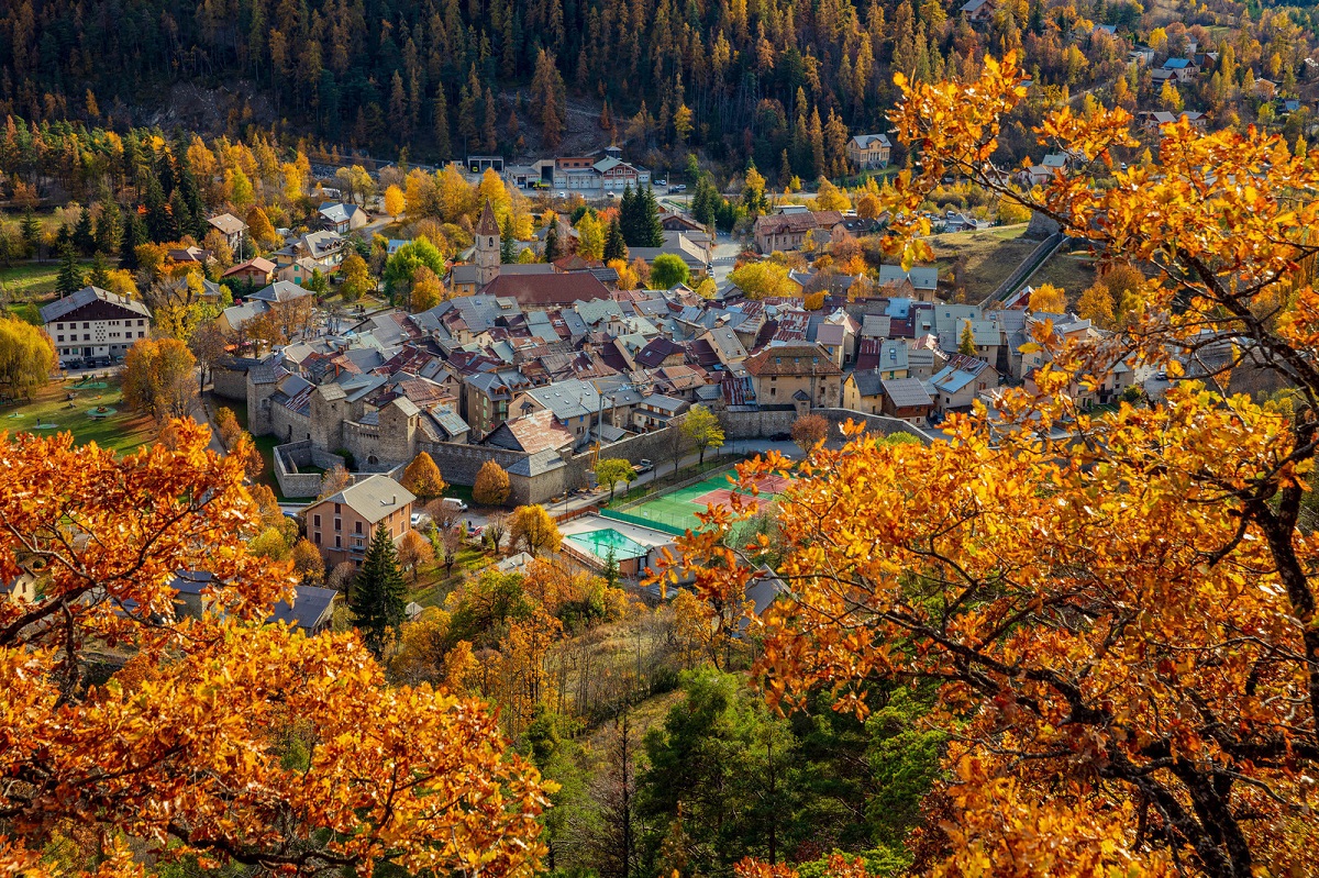
EQUIPMENT Colmars-en
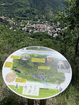
Le sentier monte en forêt pendant 15 mn puis reste à plat. Redescente pentue en forêt et retour à Colmars via la route des Espiniers puis route départementale (5mn).
Le plaisir du dessin en pleine nature : troquez votre appareil photo contre un crayon, deux feutres de taille différentes et du papier pour croquer les paysages !
Labellisé FFSP.
GPX / KML files allow you to export the route of your hike to your GPS (or other navigation tool)
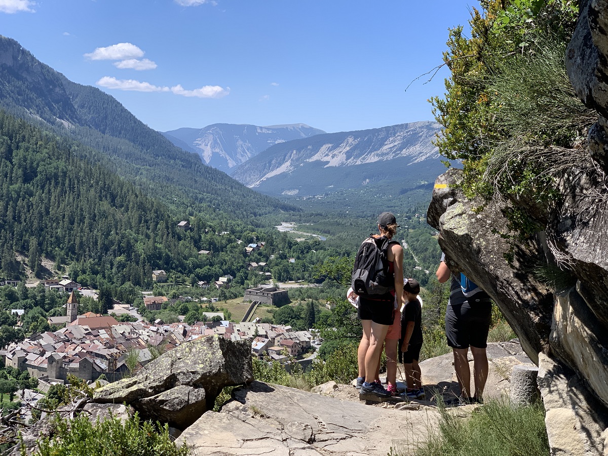
Descente pentue pouvant être glissante en cas d'intempéries.
Cartographic : Carte n° 1 Verdon Tourisme 37 randonnées pédestres Haut-Verdon Val d'Allos, TOP 25 IGN 3540 OT
Open all year
All year round daily.
Free access.
Animaux : Accepted without supplements