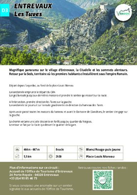
Les Tuves
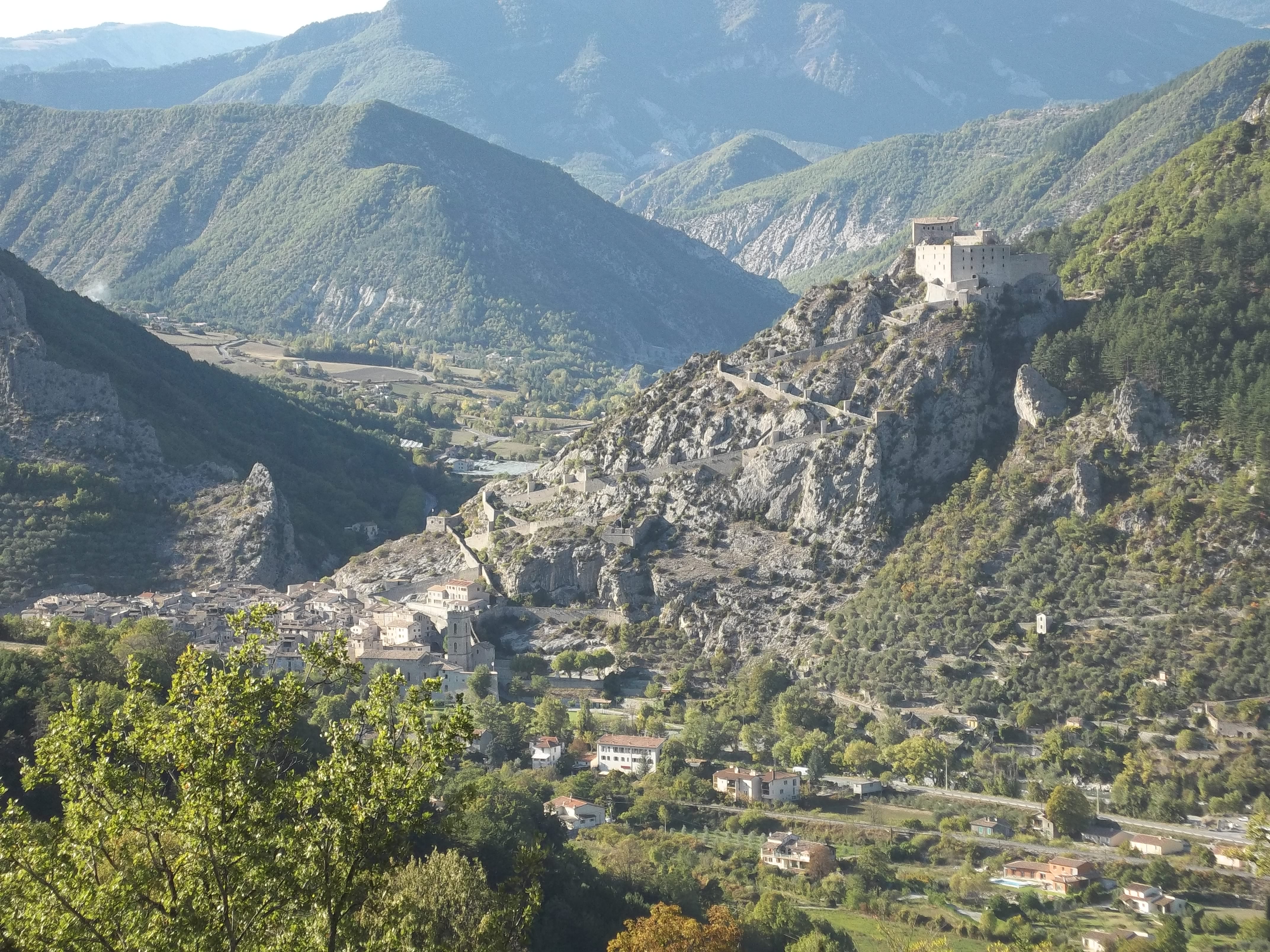

EQUIPMENT Entrevaux-en
Departure from the aqueduct, at the end of Place Louis Moreau.
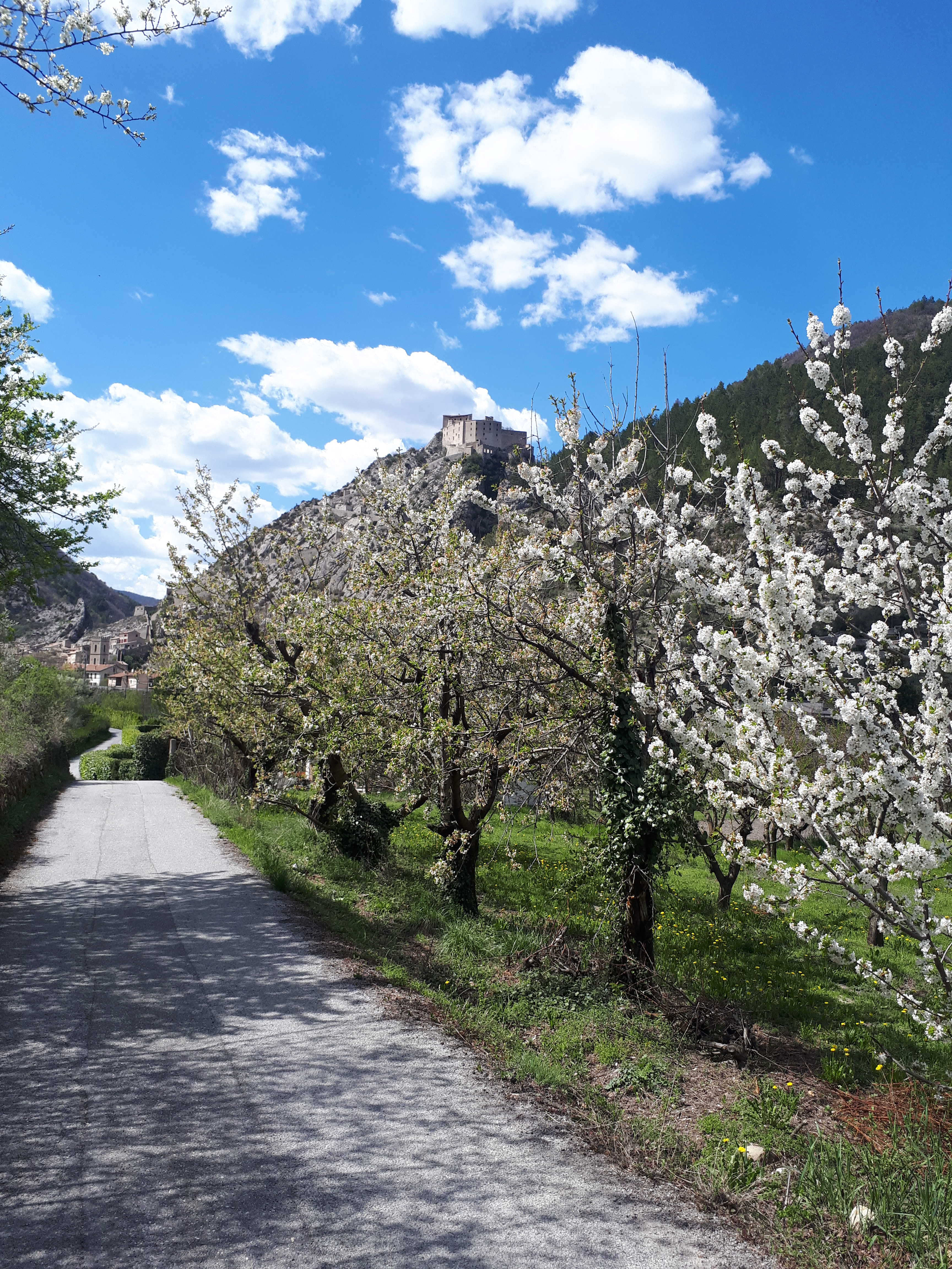
The hike follows the start of the GR4.
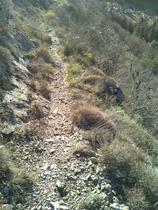
Walk along the road to the last houses and take the path that comes out onto the road.
At the intersection, turn left towards Les Tuves.
The hike continues along the asphalt road towards the hamlet of Les Tuves.
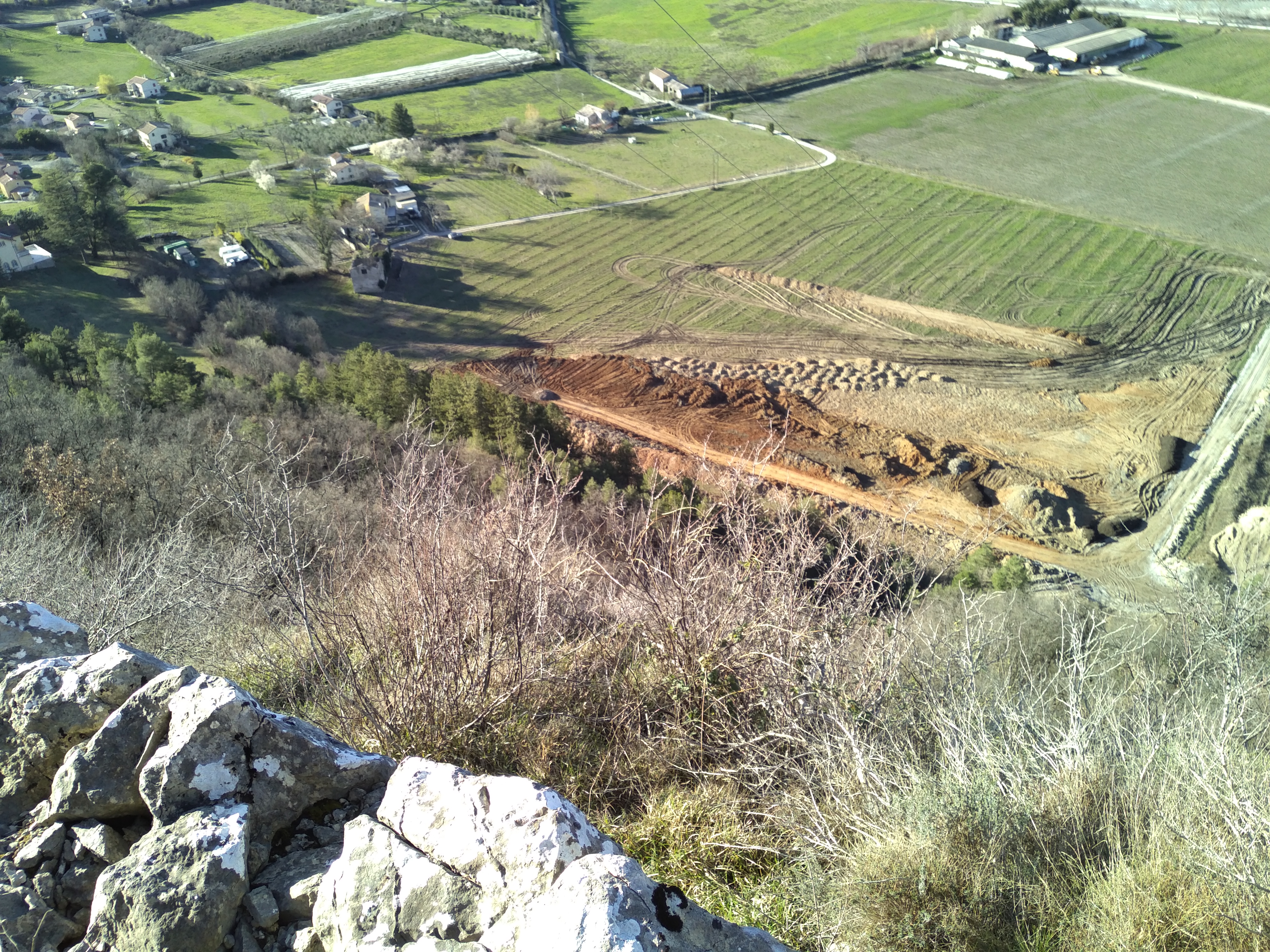
After passing all the houses in the hamlet and before the Domaine de Glandèves, the path turns left.
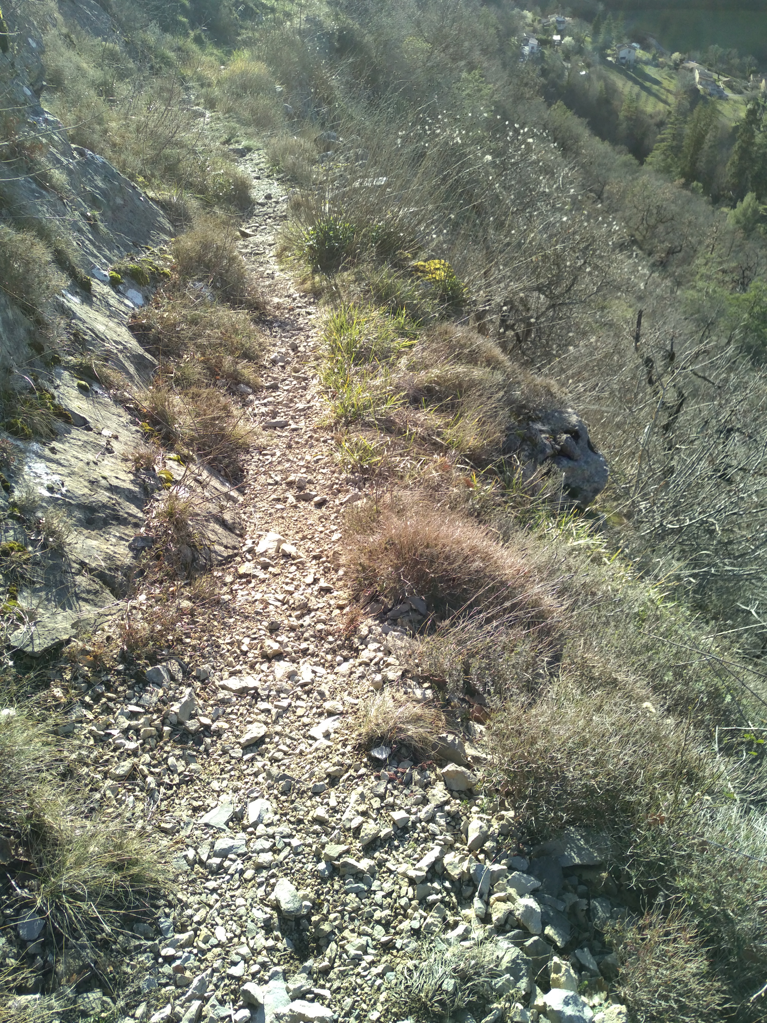
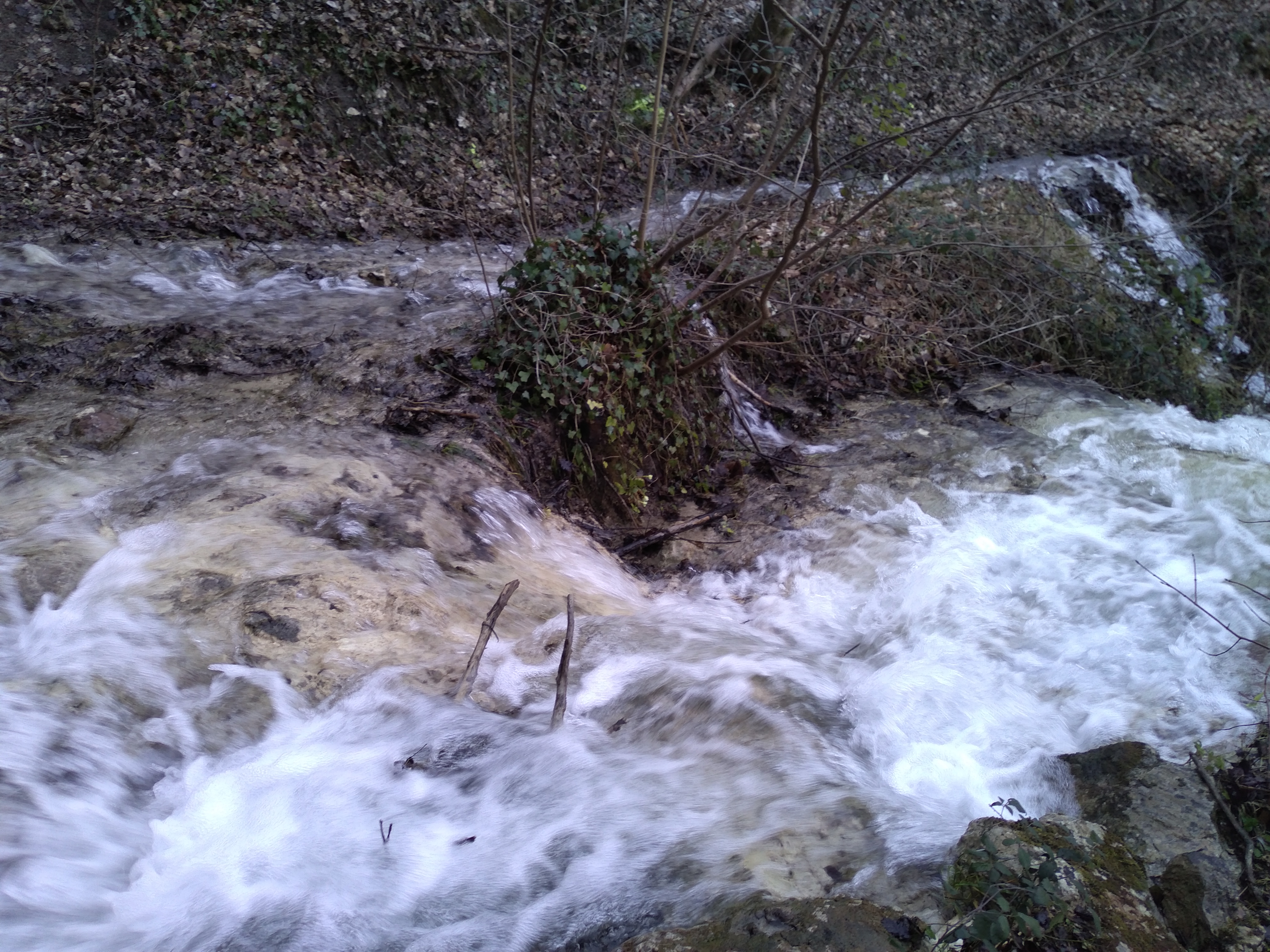
The path begins a pleasant descent through the forest to the Neigeas district.
Return via the road that leads to the station area.
GPX / KML files allow you to export the route of your hike to your GPS (or other navigation tool)
Cartographic : Lot de 2 cartes Verdon Tourisme autour d'Annot et d'Entrevaux.
Animaux : Accepted without supplements